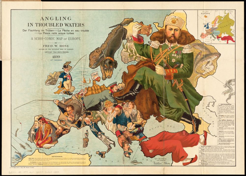
The ever-threatening octopus
| Title | Serio-comic War Map for the Year 1877 |
| Creator | Frederick W. Rose |
| Year | 1877 |
| Dimensions | 44 × 61 cm |
| Location | Leventhal Map & Education Center at the Boston Public Library |
The British illustrator Frederick (Fred) W. Rose was one of the best-known creators of humorous “serio-comic” maps, in which the outlines of nations and empires formed the shapes for allegorical figures depicting the tensions of world politics. In 1877, when it was published, Russia and the Ottoman Empire were gearing up for conflict, with Russia eager to take advantage of nationalist movements in the Balkans that were putting the Ottomans’ European territories under internal stress.
The British public was still wary of Russia's territorial ambitions, having recently joined in the alliance that defeated Russia in the Crimean War of 1853–1856. Rose struck upon a visual metaphor that has been reproduced countless times to symbolize territorial greed: the octopus. The map's caption puts the point in even finer terms: “The Northern Colossus—Russia—is represented in the form of a vicious-looking Octopus [….] with its outstretched arms, it is extending marvelously in every direction, and embracing many countries in its grasp.”
Comic maps like this one made a far greater impact on the general public than sober reference maps. After all, an octopus reaching into Europe would have seemed far more of a terrifying threat than a border dispute far away on the shores of the Black Sea. The map also gives caricature form to the various geopolitical interests of the other European nations. The gold watch in Turkey marks the site of Istanbul (referred to as Constantinople in this map's caption), while the major military powers of Germany, France, and Britain are seen readying their weapons.
Picture This!
This map is called a caricature or serio-comic map. These maps use exaggerated illustrations to send a particular message or create an intended feeling in the viewer. These kinds of maps have often been used to take a position in wars between nations. What nation did this mapmaker identify as the biggest threat, and what kind of drawing did he use to get that idea across? Do you think the mapmaker made a good choice of illustrations to show a dangerous threat? What nations seem ready to enter the fight? Do you see that the country represented by the octopus was wounded in a previous war?
We often look at maps to tell us exactly where things are. We want to be able to trust them to show us accurate locations. Illustrated maps like this caricature map are less worried about showing locations precisely and more concerned about telling a story. What story can you tell using the drawings on this map as characters?