Protesting against the Protesants
| Title | Carsonia the Great Betrayal! |
| Creator | E.A. Aston |
| Year | [1920] |
| Dimensions | 59 × 46 cm |
| Location | Leventhal Map & Education Center at the Boston Public Library |
This map focuses our attention on the bloodshot red counties in the center of the page—Tyrone and Fermanagh, in Ulster, Northern Ireland. Ironically, given the association with the color red and the British Empire, these red areas register a protest against the imperial presence in Ireland. This map and its accompanying text were created to prove a political point: that the proposed subdivision of Ireland into northern and southern halves drew arbitrary lines of demarcation across the island's northern half. Through statistical tables and the regional groupings, the map argues that the “homogeneous” area proposed in Northern Ireland was unfairly drawn to prop up a Protestant majority loyal to the United Kingdom. The disagreements staked out in this map would continue to sear through a bitter, decades-long conflict in Northern Ireland, one that took place not only in maps and negotiating rooms, but also on the streets, with bombs and gunfire.
Wander across the exhibition →
This map describes itself as “a graphic presentation of the history and meaning” of the 1920 Government of Ireland Bill, also known as the Fourth Home Rule Bill. That bill proposed splitting Ireland, which was still under British rule, into two areas with additional self-government, a northern half consisting mainly of Protestants, and a southern half that was largely Catholic. But this map sought to show that the purportedly “homogeneous” Protestant area of Northern Ireland actually included a large number of Catholics who supported the Irish nationalist cause. Only the city of Belfast and its surrounding counties of Antrim and Down, shown with dark hatchmarks, featured something like a homogeneous Protestant population, with the remaining areas were home to many Catholics—particularly the red counties of Tyrone and Fermanagh, as well as Derry City, all with Catholic majorities. This map argues that the British government was attempting to make Northern Ireland as large as possible without risking a nationalist majority, by creating a territory that was just under half Catholic. Moreover, by excluding the counties of Donegal, Monaghan, Cavan, the nationalists argued that the proposed partition violated the historic integrity of the province of Ulster.

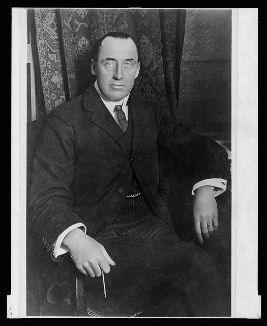
The map coins a new name for this proposed district: “Carsonia,” after the Unionist politician Edward Carson, who had advanced the idea of hiving off six counties to form a separately-governed area in Northern Ireland. Accusing Carson of a “Threefold Treachery” by pointing out how he had betrayed even his own Unionist allies by agreeing to split the Irish island into two along lines that had little justification beyond political expedience, this map attempts to tie Carson's name to a “great betrayal.” This map is an example of how cartography, statistics, and rhetoric can blend together to form an argument about territory and nationalism, with the tables of demographic counts forming a cool, evidential counterpart to the shouted claims of treachery, betrayal, and humbug in the text.
