Data story. Toxic hazards in the city or the country
| Title | Hotbeds of contamination : the toxicity of our cities |
| Creator | Maggie Owens |
| Year | 2020 |
| Location | Leventhal Map & Education Center at the Boston Public Library |
| Title | Rethinking hazardous beliefs : challenging perceptions ot the “dirty city” |
| Creator | Maggie Owens |
| Year | 2020 |
| Location | Leventhal Map & Education Center at the Boston Public Library |
This map leverages three concepts that significantly impact how we plan for our communities:
- Latent cultural perceptions drive the interpretation and presentation of information.
- Statistics have the power to transform a populace from a “community” to a “mass.”
- Sharp distinctions between urban and suburban landscapes are inconsistent with their functions.
In the United States, cities are often seen as far dirtier and infinitely more violent than outlying areas. This kind of “intuitive truth” has a long history rooted in racism. But it is hard to flip the imagery when it is constantly reinforced through politics, statistics, literature, and film. And so, the planning profession and conventional wisdom like the “dirty urban” constantly butt heads. It is our role as planners to accessibly frame complex topics in a way that addresses preconceived notions, conveys the information as intended, limits misinterpretation, and encourages civil discourse.
Most of us will come to these maps already having negative feelings towards contamination. When this happens, we often look for solutions or at least a place to lay blame. With no solution proffered, these maps then become tools for judgment. Wanting to play with these psychic tendencies we chose a statistical method in Hotbeds of Contamination that emphasized the mindset of cities as monoliths, we chose language like “generation” and “hotbeds” that place blame and imply personal failing, and we avoided including information that could question the idea that contamination is the sole result of a town’s actions. Rethinking Hazardous Beliefs on the other hand, asks us to be more agile and think at multiple scales. We placed less focus on blame by choosing “presence” over “generation”, chose a statistical method that calls into question how contamination sites are generated (we’re all interconnected- e.g. my needs drive your town’s contamination), and included a photo of a diverse group of people to hint at the latent racism present in this discussion.
Ultimately, we hope that the conflicting nature of the two maps will help people ask questions like:
- What could be happening on the ground that would explain these differences?
- How can I translate these two facts into knowledge?
- Do either of these maps really tell the whole story?
Cartographer
-
Maggie Owens
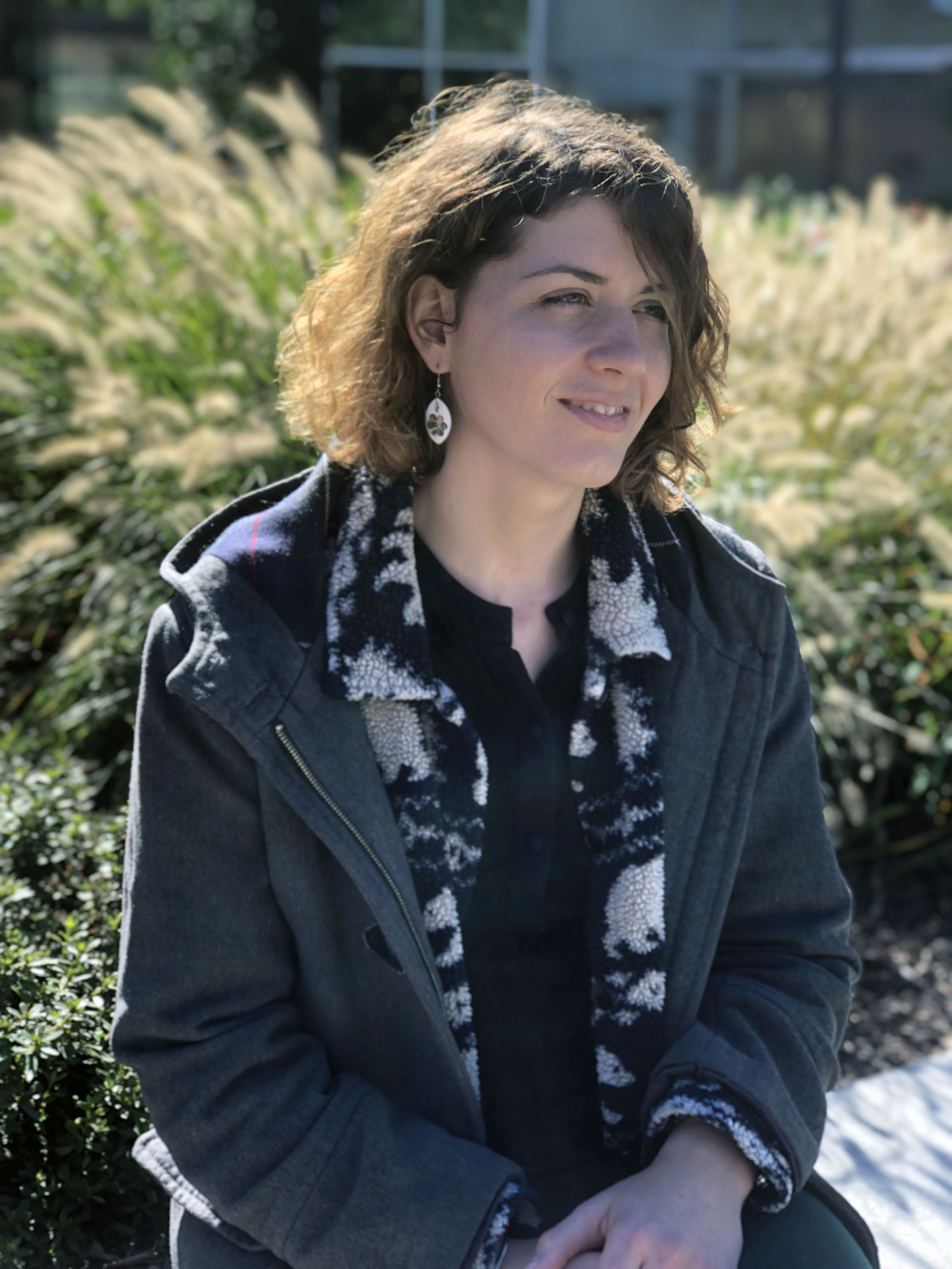 Maggie Owens is a Planner and Analyst with the Boston Parks and Recreation Department. Her passion lies in exploring the cult of data and its power to construct and disseminate narratives about the “way things are.” In particular, she is interested in how data is being used to liberate or restrict our capacity to imagine a better world. Serving at the Parks Department, Maggie works to place issues of equity and storytelling front and center through collaboration, a critical and judicious use of data, and accessible visualizations. She is committed to exploring new ways of producing community-based illustrations that strengthen civil discourse and facilitate participation in the planning of Boston's park system.