Each year, the Leventhal Map & Education Center welcomes submissions to our Cartography Challenge.
The rules are simple: we provide a Topic you should map, the Dataset(s) you should use, and a Challenge that is meant to introduce some generative constraints on your cartographic imagination. Submissions should be high-resolution maps (>=300 DPI) that respond to each of these criteria.
When applicable, the data for each Cartography Challenge can be downloaded for free from our Data Portal.
Submissions are evaluated by a combination of Leventhal Center staff and guest judges, according to that submission cycle's criteria. In addition to receiving a $250 prize and being featured in the Leventhal Center's digital exhibition, winners will have their work formally accessioned into the Center's digital collections portal under a Creative Commons license. While we can only make one monetary award per submission cycle, we are happy to display and accession Honorary Mentions into our collections.
There is no expectation that maps be made using a particular software or program, but maps must ultimately be submitted as static images. Submissions may be handmade, but must be submitted in a digital format (the Leventhal Center can't accept mailed, physical submissions). Unless otherwise stated, we do not accept interactive web maps as submissions in the Cartography Challenge.
Open challenges
Check back later! To learn when the next challenge opens, be sure to subscribe to our newsletter.
Past winners
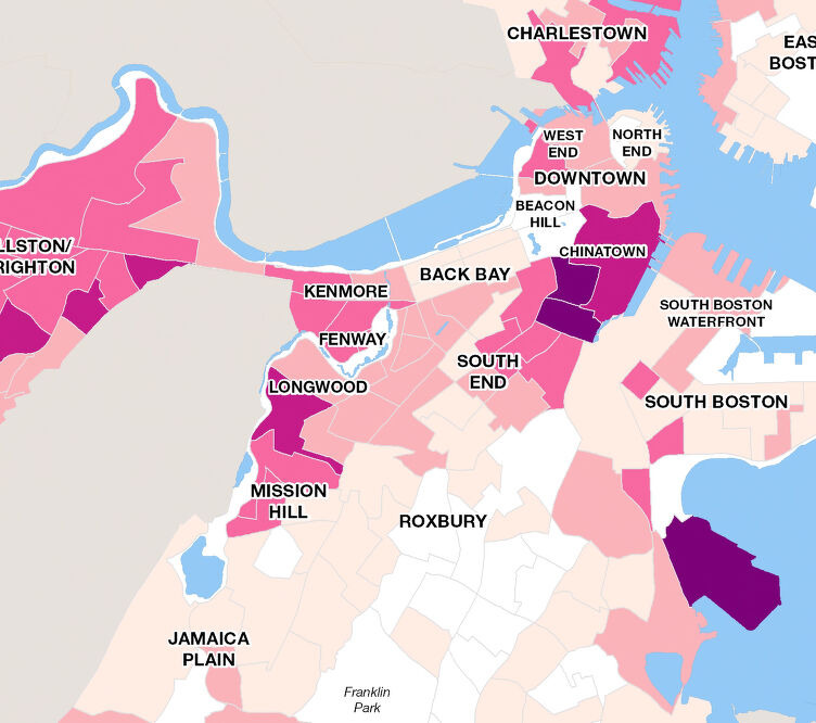
No Choropleth, No Problem
Deadline: 12/19/2022ChoroplethImmigrationBoston
Read the challenge View the winning map
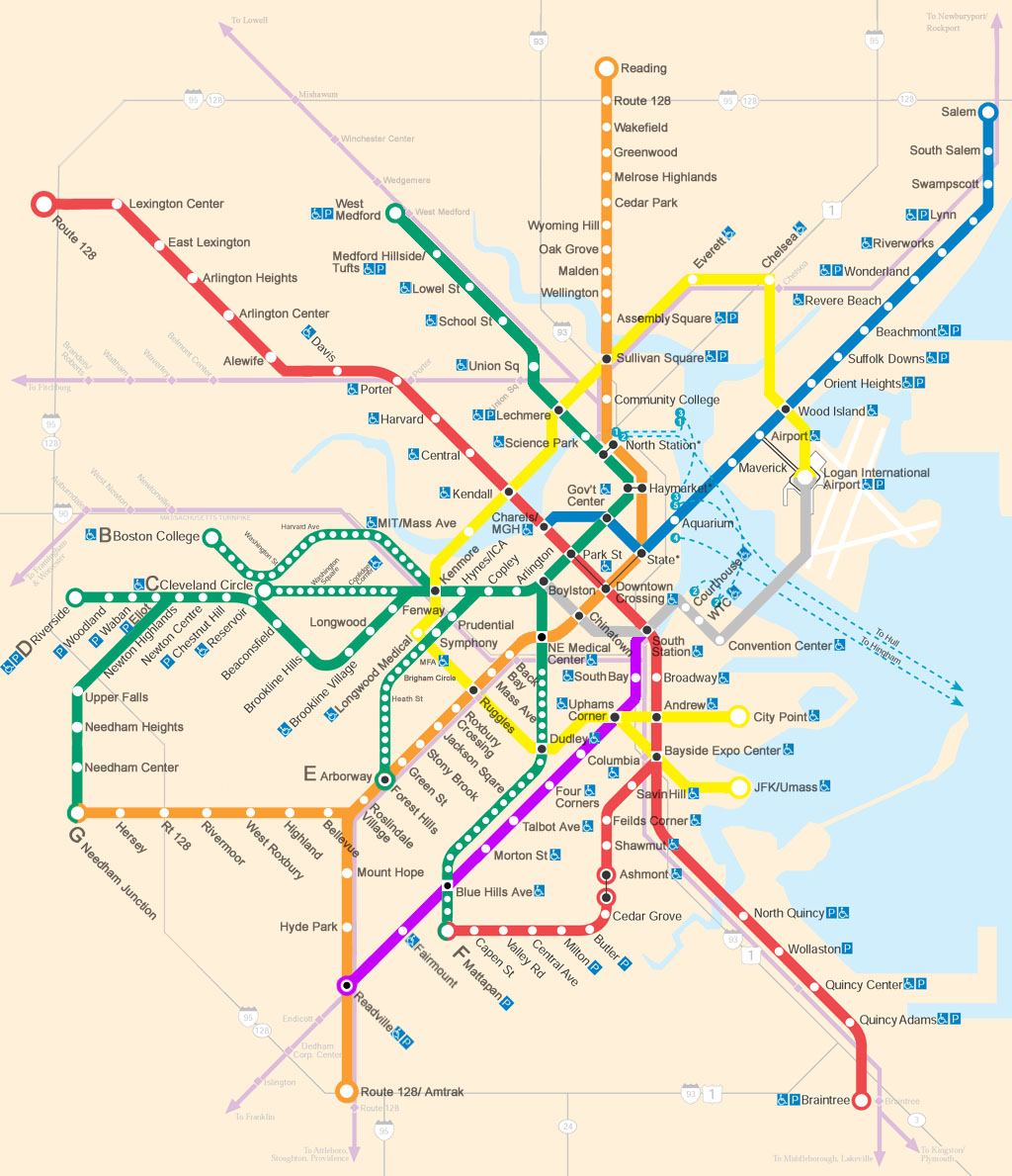
Transportation Dreams
Deadline: 12/19/2023TransportationBostonSpeculative Maps
Read the challenge View the winning map