Allmaps
Easily georeference maps from institutions across the world
Go to project Learn moregeoreferencing allmaps
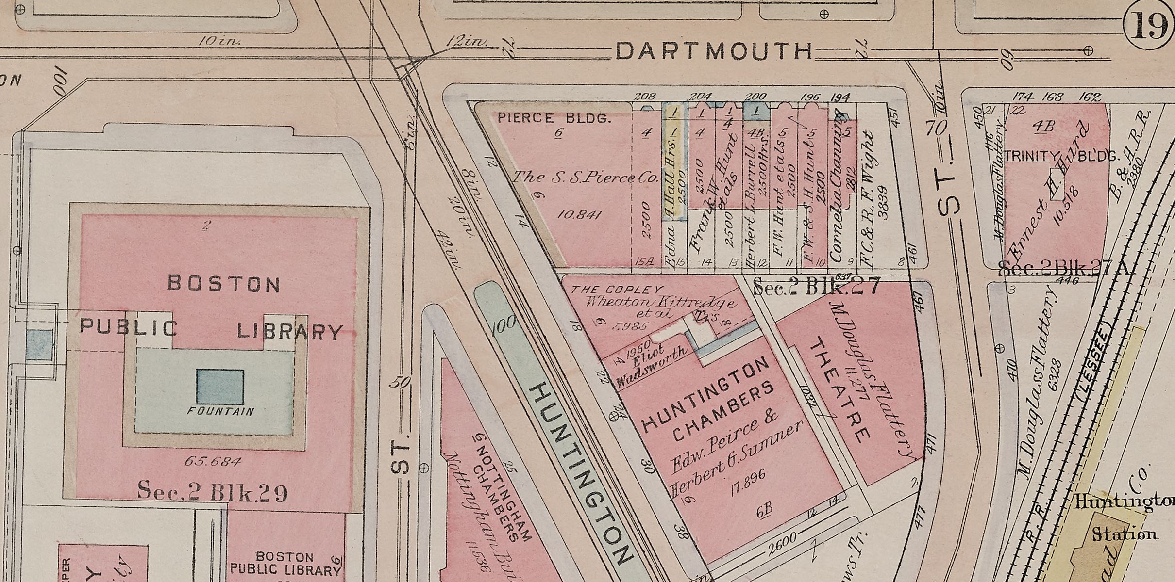
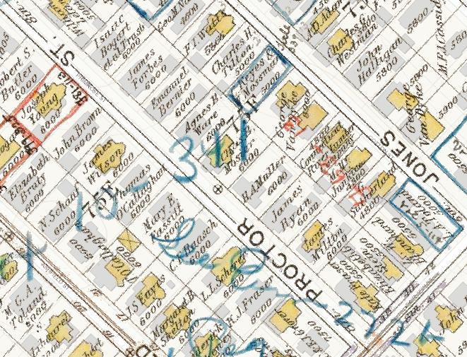
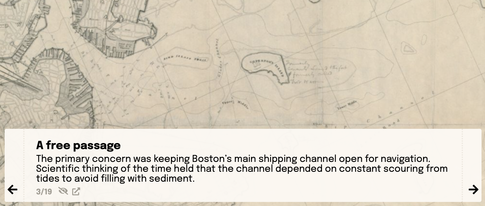
Atlascope
Discover real estate and fire insurance maps of Boston and surrounding towns with detail down to the level of buildings and owner names
Go to project Learn morecollections interactive atlascope
Data Visualizations on Glitch
Explore maps and digital data in interactive settings with remixable code
Go to project Learn moredataviz interactive GIS
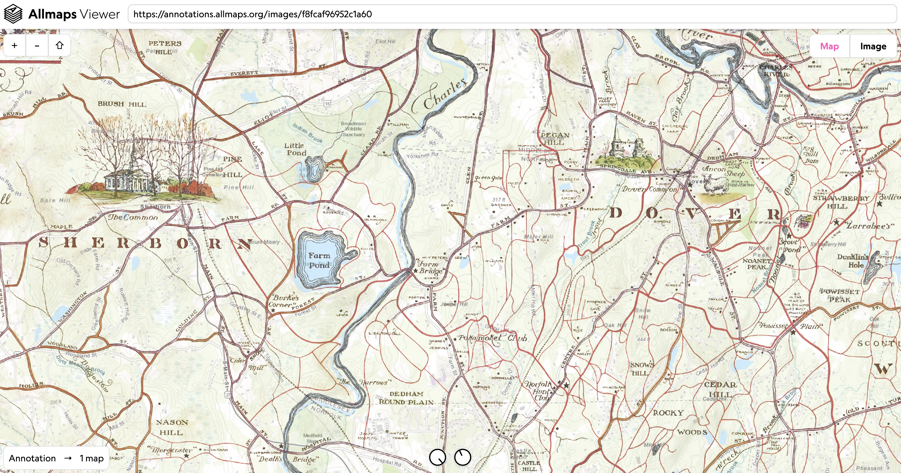
Georeferencing
Transform images of historic maps into layers that match onto modern web maps
Learn morecollections GIS interactive
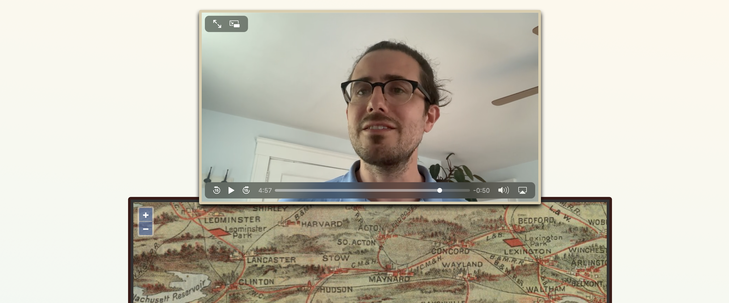
Annotated Map Stories & Panel Truck
Dive into storytelling through maps and images, and get code to produce your own interactives
Go to project Learn moreinteractive
Movie Maps
Bring video and historic collections objects together into a single immersive experience
Go to project Learn moreinteractive
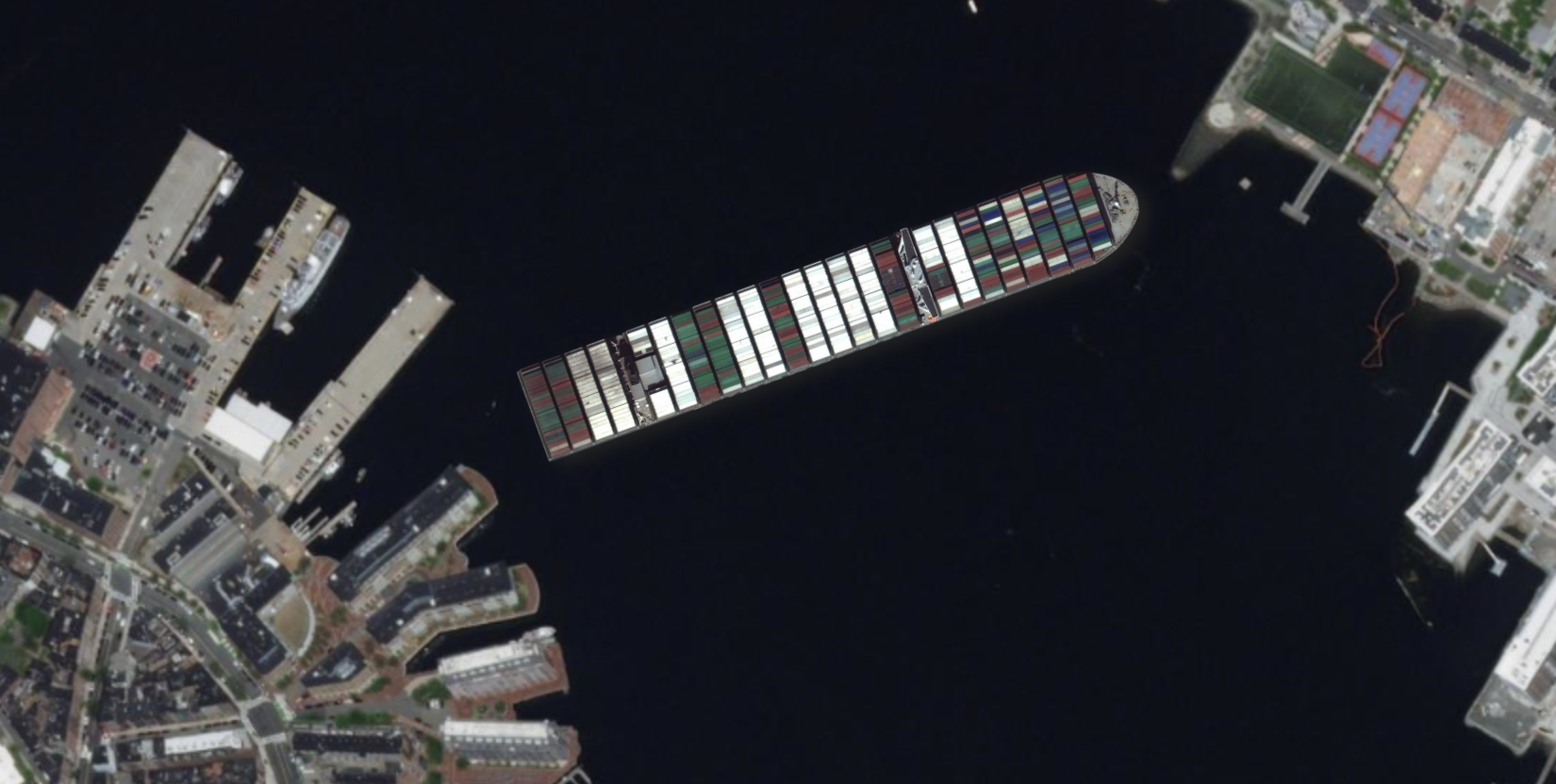
Insizeor
Make scale comparisons anywhere on a map, using reference objects like the Ever Given cargo ship, BPL building, or custom map selections
Go to project Learn moreinteractive scale
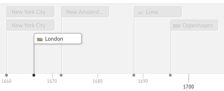
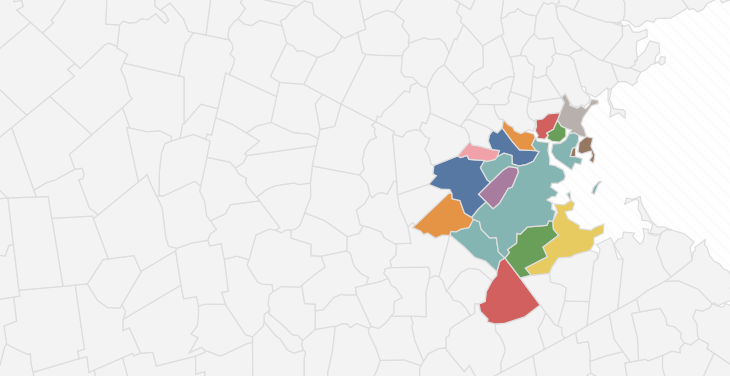
Mapping a World of Cities
A collaborative timeline of urban maps from ten important map libraries
Go to project Learn more