Data Visualizations on Glitch
Explore maps and digital data in interactive settings with remixable code
Read moreExplore maps and digital data in interactive settings with remixable code
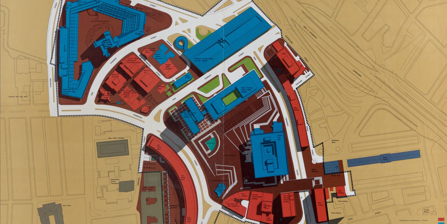
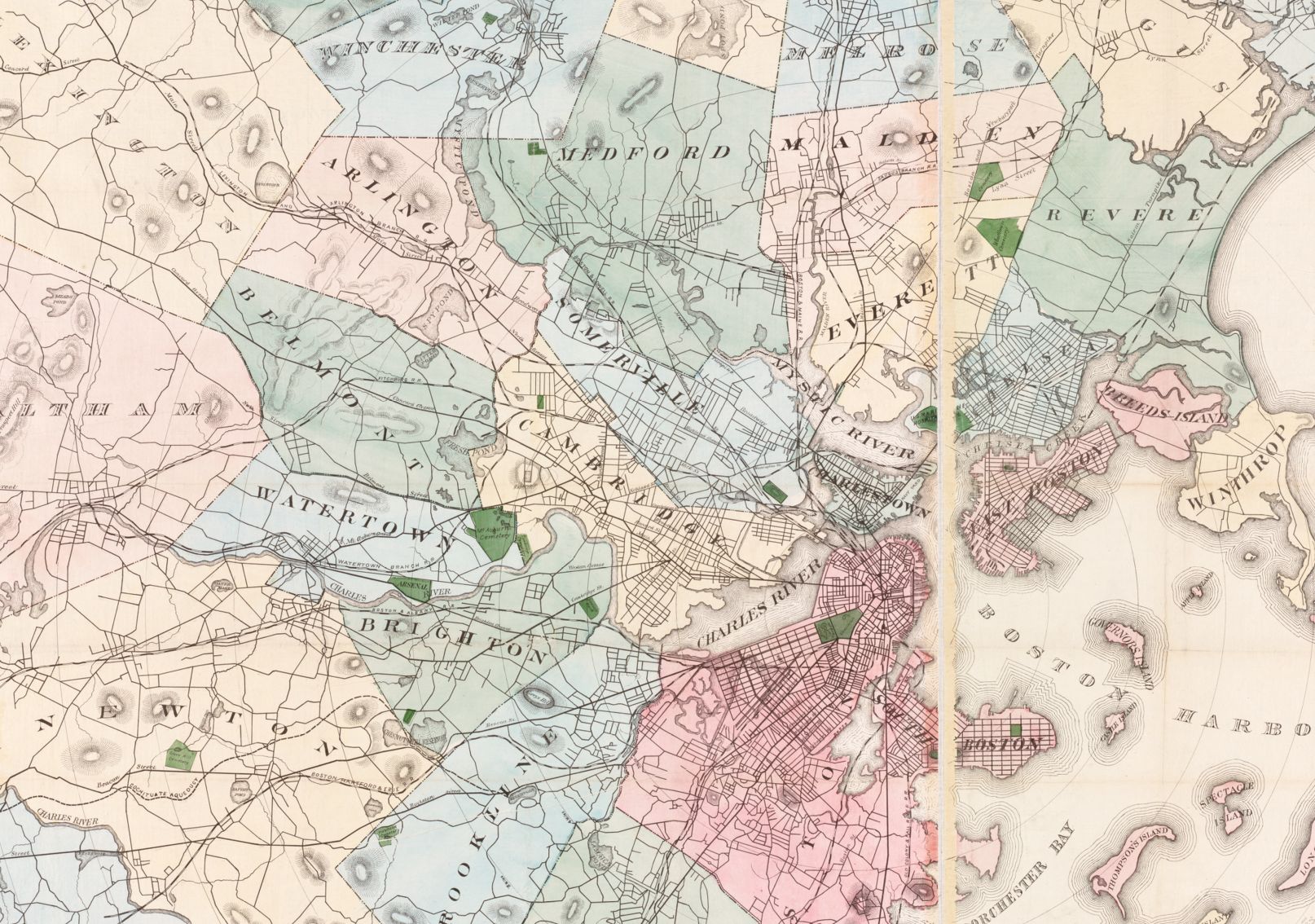
Read moreTransform images of historic maps into layers that match onto modern web maps
Read more

Meet the team of wonderful student interns who have been hard at work this semester on various LMEC projects
Read more
Meet the team of wonderful student interns who have been hard at work this semester on various LMEC projects
Read more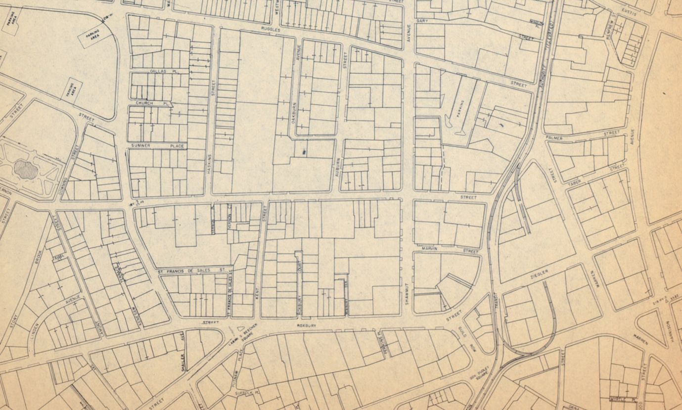
Submit your cartographic work for a chance at prize money & exhibition in the LMEC's digital collections!
Read more
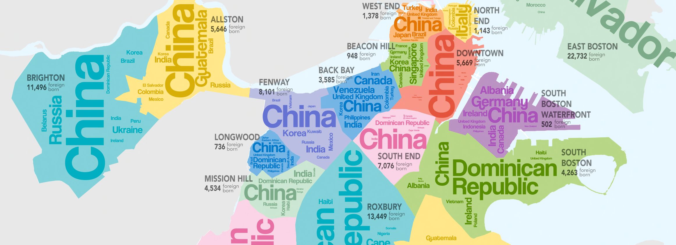
In attempts to make the admissions process more equitable, the system for exam school invitations at BPS has changed three times in as many years. How can maps help us make sense of these changes?
Read more