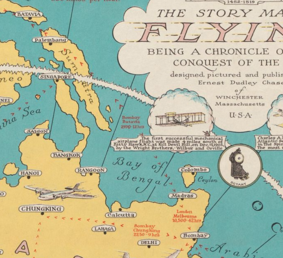
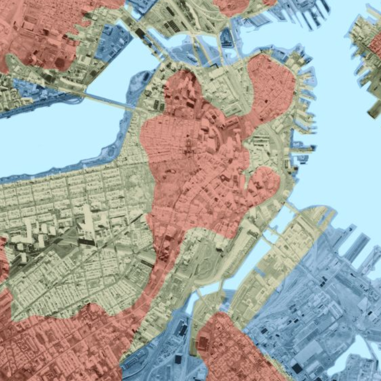
The Leventhal Map & Education Center offers a menu of pre-designed programs for field trips to our Learning Center. Using maps from our collection, students practice using cartographic tools to read maps and think about what maps can and can’t tell us about our relationships to places in the past and present.
Our program offerings will always include an option related to the current exhibition on display in our gallery at the Central Library. All programs are led by Leventhal Center staff educators.
Guided Class Visit Programs

What Can a Map Do?
Grades K–3
Early learners already encounter maps in their day to day lives. In this interactive learning experience, we will explore together what a map can do. Through close examination of maps in our collection young learners will discover how maps represent and shape their world. Students will participate in various age-appropriate activities such as a read aloud, practice map reading skills, and map creation to deepen their understanding of cartography and spatial thinking.
Boston, You’re My Home
Grades 3-5
Students will explore Boston’s dynamic history including how the city’s communities and their residents evolved over time. Elementary students will examine the role of cartographers in documenting Boston’s growth during the mid-19th century and analyze changes in the city’s landscape through a comparison of maps in our collection. How does the Boston students see on maps match the Boston they know today? By studying what has changed and what has remained constant, students will better understand their communities and how they can contribute to their future.
Terrains of Independence
Grades 5-12
How did geography shape the course of the American Revolution? This guided tour of the Terrains of Independence exhibition invites middle and high school students to consider how Boston’s landscape influenced key events and strategies during the war. Through hands-on map analysis, students will learn how features like the city’s busy harbor and roadways played a critical role in the American Revolution. This experience will help students connect the power of physical places to history and gain insight into the relationship between geography and the fight for independence.Booking a Program
- K-12 visits to the LMEC can be booked from Monday to Thursday at 9:30 am and 11 am. Each session lasts 45-60 minutes.
- Due to the size of our gallery, we can welcome groups of up to 16 students and 2 chaperones per time slot. At least one chaperone must be the lead or cooperating teacher of the school group.
- All groups are required to make reservations at least one month in advance. To ensure a smooth visit, all school groups must register using the online form below.
Preparing for Your Visit
Cost:
Please see our table of education program fees for information on costs. Please note that if you are teaching at a Boston Public School, fees are waived for your visit to the Leventhal Map and Education Center.
We strive to make our programs and resources available to all institutions without cost presenting a barrier. If your district or institution is not able to support our standard fees, please send us an email to discuss adjusted rates.
Transportation and Parking:
Unfortunately, the Central Library in Copley Square does not offer reserved off-street parking for buses or other vehicles. However, several garages are within walking distance of the Leventhal Center, and two-hour metered street parking, though often occupied, is available throughout the Back Bay.
We recommend taking the MBTA to the Leventhal Map and Education Center when convenient. Use the MBTA Trip Planner for more information on traveling by transit.
Lunch:
Please note that there is no lunch space for classes in the Boston Public Library.
Accessibility:
Our physical spaces are ADA-accessible via a lift from the main level of the BPL’s McKim Building. Most, though not all, spaces in the Central Library in Copley Square are accessible. For more information, see the BPL’s Resources and Services for Users with Disabilities here.
If you have any questions about accessibility to the Leventhal Map and Education Center, please email education@leventhalmap.org ahead of your visit. We strive to make sure all students can participate in our programming.
Booking other BPL Programs:
Please note that a reservation for a guided class visit to the Leventhal Center does not automatically include access to other tours or services offered by the Boston Public Library. School groups are required to stay within the designated areas of the Leventhal Center during their visit.
To combine your visit with sessions in Teen Central (grades 6-12) or activities with the Children’s Library services (grades K-5), please schedule these additional tours or activities in advance.
Curricular Connections
The K-12 programs align with or supports the following standards.
- Massachusetts History and Social Studies Standards
- Kindergarten-Grade Two: Standards K.4, 1.4, 2.4
- Grade Three-Five: Standards 3.2, 4.2, 5.2
- National Council for Social Studies
- Standard 2: Time, Continuity, and Change
- Standard 3: People, Places, and Environment
- Standard 8: Science, Technology, and Society
- The College, Career & Civic Life (C3) Framework for Social Studies
- Standard D2.Geo.3-5.1
- Standard D3.1.3-5
- Standard D 4.2.3-5