Maptivists
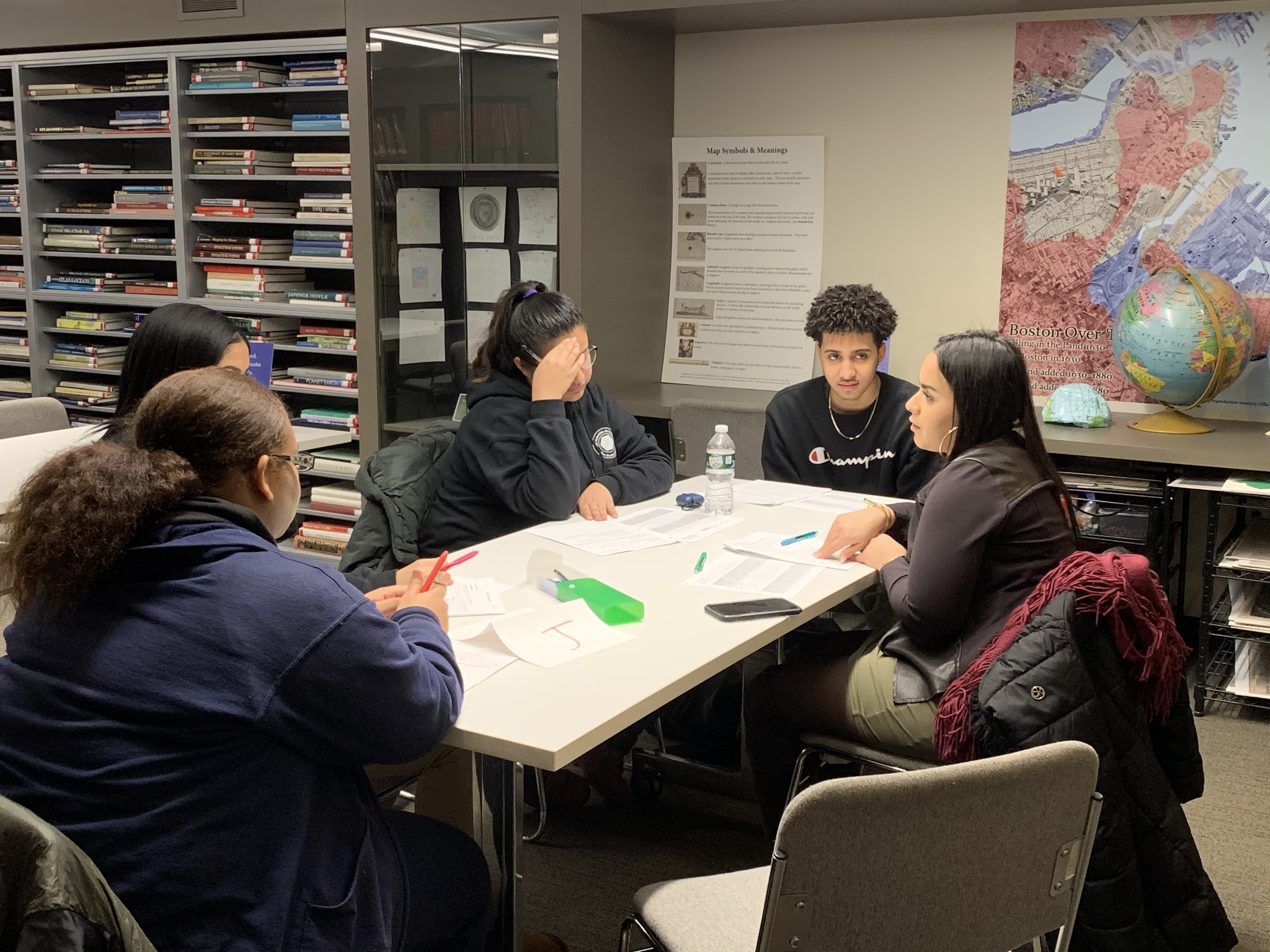
Students working on research questions with community leader at the Leventhal Center
The Maptivists initiative at the Leventhal Map & Education Center is rooted in the belief that maps and mapping are empowering and can help students be civically engaged.
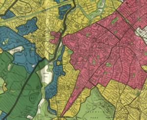
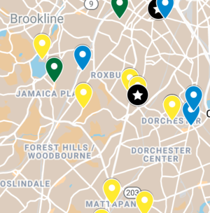
In Maptivist classrooms, students work with a variety of historical and modern map resources to better understand the past and present of Boston and advocate for change. Students connect with community resources, from individuals working for social justice to City of Boston data sets that enable them to analyze everything from gentrification in their neighborhoods, to health care access by race across the city, to climate resilience’s relationship to income inequality.
Students also learn the basics of geospatial data and how they can use maps to better understand trends in their city and propose possible solutions.
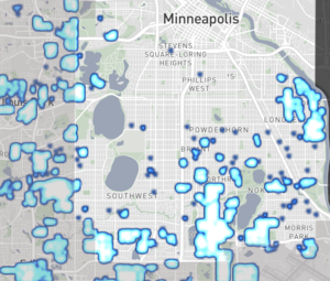
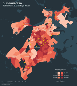
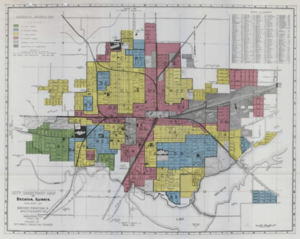
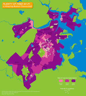
Here you’ll find information about our elective pilot and a list of resources, from websites on redlining to lessons about how to be a critical map reader using Boston Wi-Fi data as a subject.
Elective
The K-12 Leventhal Map & Education team piloted a semester-long elective at the Jeremiah Burke High School in Dorchester in the spring of the 2020-2021 school year. The overall idea behind the class was to use maps as a lens through which to explore neighborhood and city-wide issues, hoping to leave students with map analysis and basic GIS skills, and a sense of empowerment in looking into the conditions they experience in the city.
Our framing question for the class was How do racial ideas become spatial practice? Using Boston as the focus, students explored their own and other Boston neighborhoods, in the past and present, and investigated the role of race in housing and real estate policy and practice, development, gentrification, police violence and resistance, public art and a number of other topics using maps and digital mapping. However, this course could be adjusted to address MANY different kinds of questions: for example, What does environmental justice and injustice look like in Boston? What is food justice and what does that look like in Boston? What kinds of housing exists in Boston and where, and who has access to different kinds of housing under what circumstances? What is the relationship between income and education in Boston?
Explore Lessons and Resources
Same Data, Different Stories
Boston Data Mapping and GIS General Map and Geography Social Issues MaptivistSee Resource
Mapping Our Boston
Boston General Map and Geography Data Mapping and GIS Social Issues MaptivistSee Resource