This digital publication was supported by the Leventhal Map & Education Center's Small Grants for Early Career Digital Publications program.
Everyday life and business in Black Boston
Picture a barber on Tremont Street lifting his shop’s striped pole each morning, greeting regular customers and newcomers alike as the hum of conversation drifts onto the busy sidewalk.
"Papa Jack's barber shop, Tremont St." (ca. 1940-1950), from Northeastern University Library's Archives & Special Collections
Such everyday scenes, like the one depicted in the photo here, don't always appear in the historical record. In fact, in the late nineteenth and early twentieth centuries, maps and mapmakers often ignored the vibrant commercial life of Black Bostonians. The famous HOLC maps that drew red lines around Boston's Black neighborhoods are one example.
Archives can help reconstruct the everyday rhythms of these businesses. Much of what survives today exists in scattered directories, advertisements, church programs, and community publications. One such source, Elmira Williams’s Directory and Valuable Information of the Negro Business and Professional Men and Women of Boston and Vicinity (1914), documented Black enterprises in the city and challenged the belief that Black Americans could not be economically self supporting. Williams acknowledged that even her effort captured only a portion of the activity that existed, noting that the directory included “a fair sample of the leading places of business and professions” operating in Boston at the time.
Businesses clustered along corridors like Tremont Street, Shawmut Avenue, and surrounding neighborhoods where Black residents built networks of services that sustained community life. The records reveal a wide range of occupations including physicians, attorneys, dressmakers, beauty culturists, musicians, caterers, printers, and real estate brokers. These establishments were not isolated enterprises, but part of a larger social infrastructure supported by churches, cultural organizations, and civic institutions that anchored Black Boston—and the landscape represented here was typical of wider patterns of Black urban life in the early twentieth century.
The archival record also reveals how Black economic life extended beyond commerce alone. Souvenir programs and community publications show an active world of concerts, educational programs, and fundraising events organized through churches and civic clubs. Performances, community meetings, and charitable efforts brought together residents, entrepreneurs, and artists, illustrating how economic activity was closely connected to cultural and social life. (Brenda Zhang's Atlascope tour about Duke Ellington in Boston and the Leventhal Center's collaboration with the Boston Athenaeum on Allan Rohan Crite's Boston provide two recent examples to explore these geographies through digital mapping.) Later on, travel guides such as the Negro Motorist Green Book (1936-1966) would reflect a networked geography of safety and opportunity. For Black travelers navigating a segregated nation, Black-friendly businesses—including hotels, restaurants, beauty parlors, and other establishments—formed a dispersed infrastructure of welcome and security.
Mapping the archival record
The map below provides a window into the Black Wall Street of Roxbury from the late nineteenth to early twentieth centuries. It reconstructs the spatial distribution of Black enterprise in Roxbury by extracting, standardizing, and geocoding business addresses from historical directories and community publications. Scroll through the map to explore different spatial data layers and stories about everyday life and business in Black Boston.
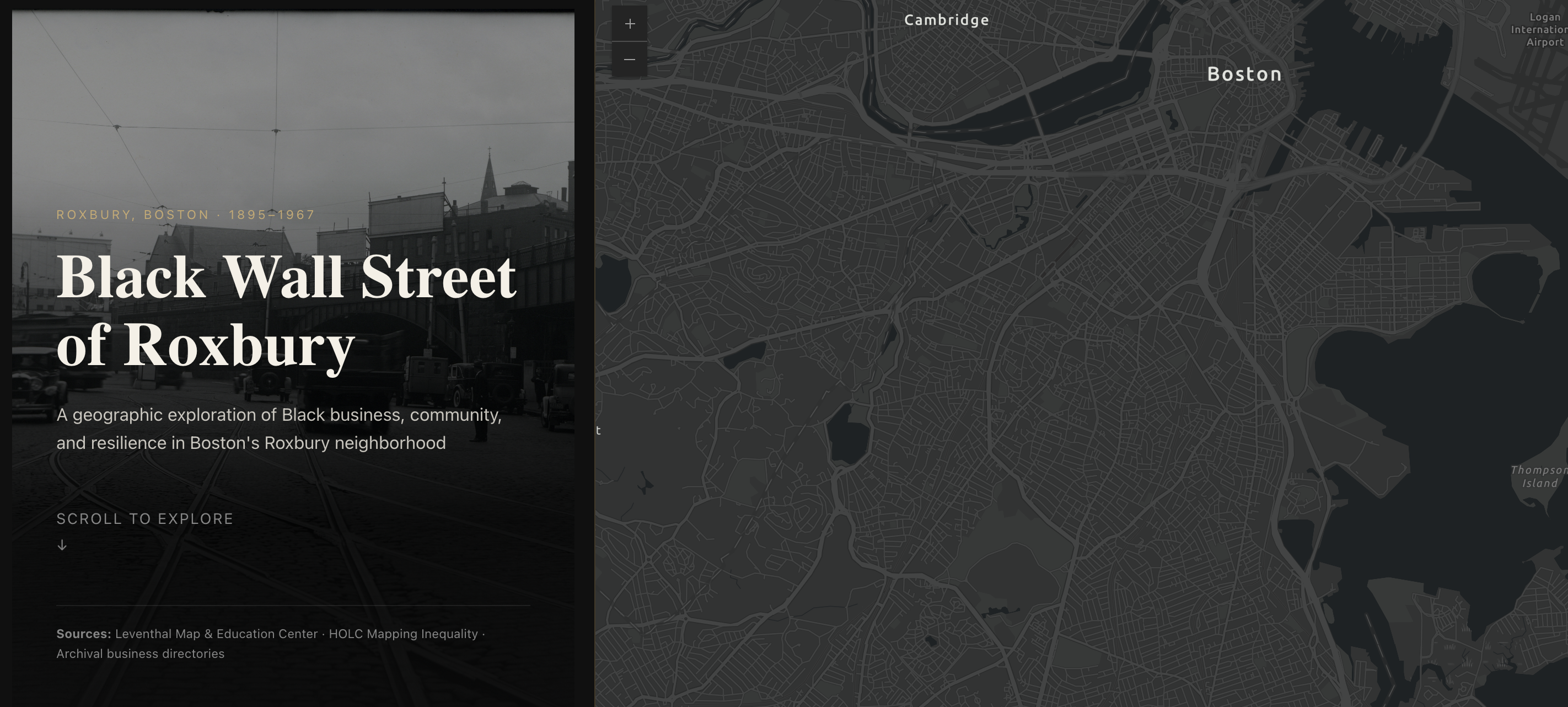
Innocentia Ashai's narrative map of Roxbury's Black Wall Street
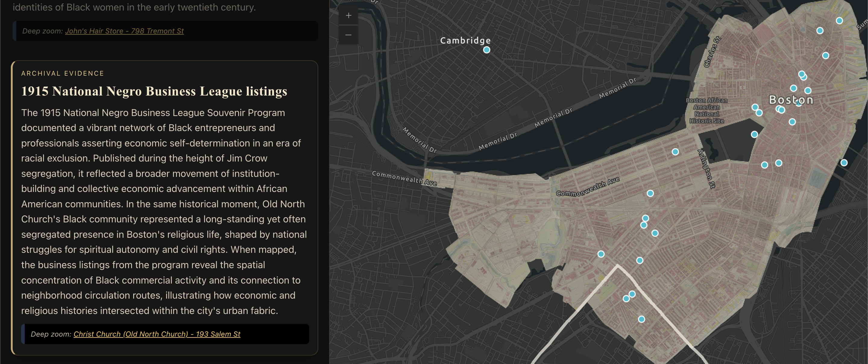
Innocentia Ashai's narrative map of Roxbury's Black Wall Street
Ultimately, this map represents more than a collection of businesses. It reveals a landscape shaped by entrepreneurship, community organization, and cultural life. By bringing together addresses scattered across directories, advertisements, and programs, the project reconstructs a geography that once existed in everyday experience but rarely appeared on maps. The result is a spatial record of Black Boston that illustrates the networks of labor, mobility, and community that sustained the city’s economy.
What echoes of these footsteps remain along today’s Tremont Street and Shawmut Avenue? Walking these routes invites us to reconsider the vibrant commercial worlds that once flourished there. By visualizing the paths of daily life, this project reconnects contemporary landscapes with the histories that continue to shape them.
Innocentia Botor Ashai is a Ghanaian graduate student currently pursuing a Master’s Degree in International Affairs at Northeastern University, with a concentration in Sustainability and Climate Change Policy. Her academic interests include spatial justice, environmental sustainability, and the history of Black entrepreneurship explored through digital mapping and geographic information systems (GIS). She is currently developing historical GIS projects that reconstruct Black commercial landscapes in American cities.
Our articles are always free
You’ll never hit a paywall or be asked to subscribe to read our free articles. No matter who you are, our articles are free to read—in class, at home, on the train, or wherever you like. In fact, you can even reuse them under a Creative Commons CC BY-ND 2.0 license.