- August 24, 2023
- Nathan Braccio
John Winthrop's "City on a Hill," Mapped
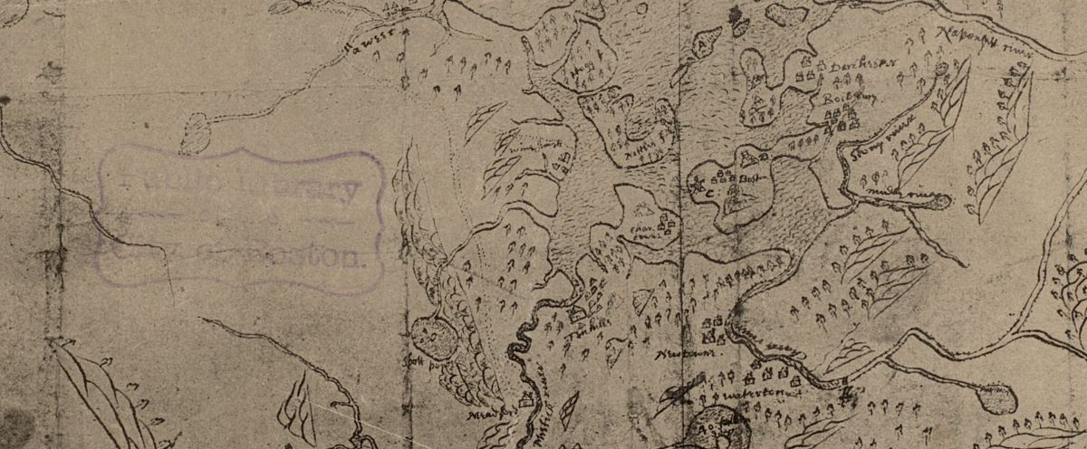
Providing a glimpse into how Winthrop’s "City on a Hill" interfaced with everyday life of Indigenous peoples in colonial New England
Read more Providing a glimpse into how Winthrop’s "City on a Hill" interfaced with everyday life of Indigenous peoples in colonial New England
Read more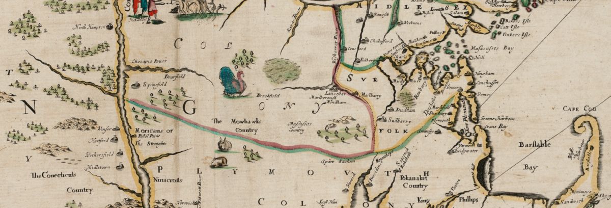
Seventeenth-century maps and conflicts in colonial New England
Read more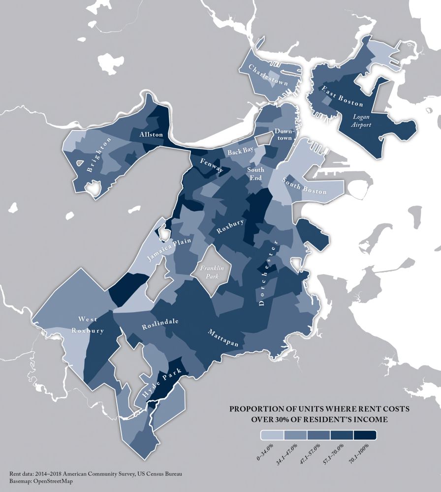
The Leventhal Map & Education Center is breaking new ground in bringing geospatial data empowerment to the public, supported by a grant from the Northeast Big Data Innovation Hub
Read more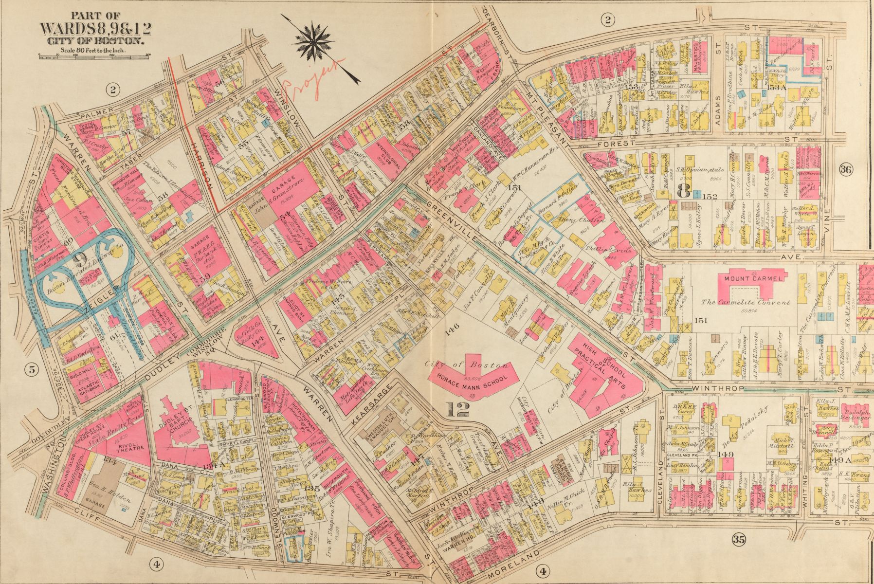
The Leventhal Center has been awarded a Library of Congress Teaching with Primary Sources (TPS) Regional Grant to support a 2023 urban atlas exhibition.
Read more
Reflecting on the shared lineage of cartography and anatomy
Read more
The creation of new land and the development of power infrastructure have a shared history along Boston's waterfront—one that still impacts our environment today
Read more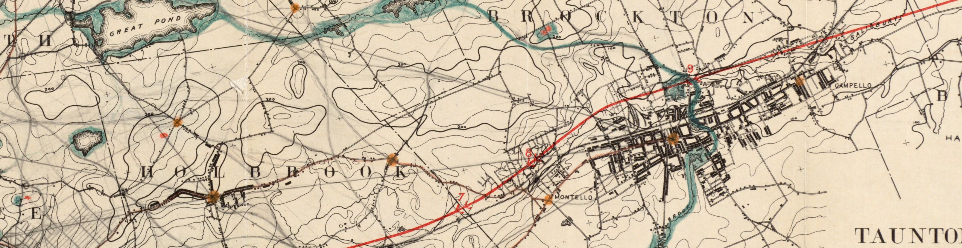
Keep an eye out for updates on these exciting research projects!
Read more
What card games can tell us about the geographical imagination
Read more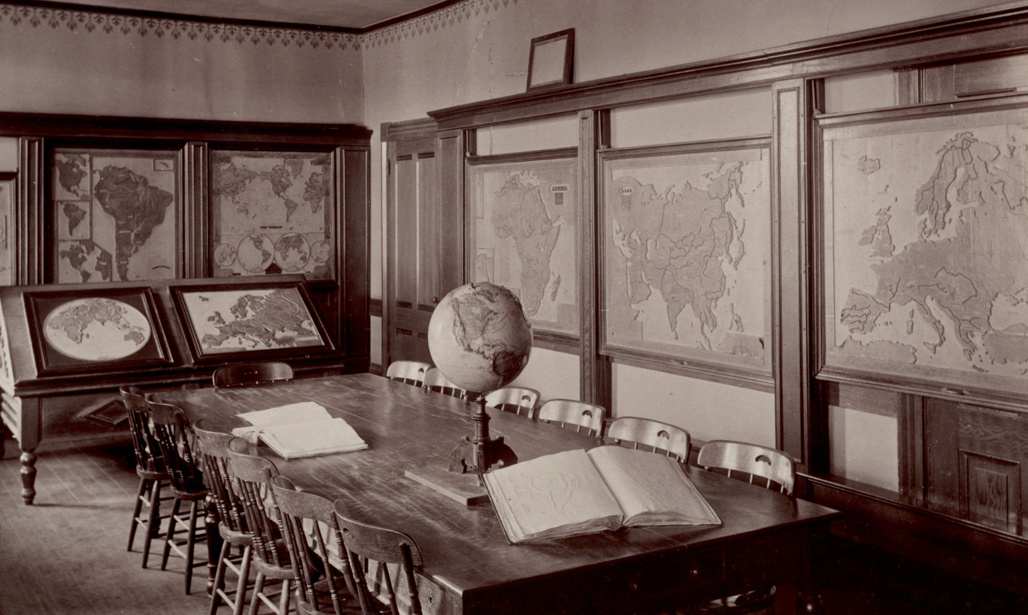
A new grant-funded project in collaboration with faculty and students at MIT will support the development of tools to teach critical geospatial data at the pK-12 level
Read more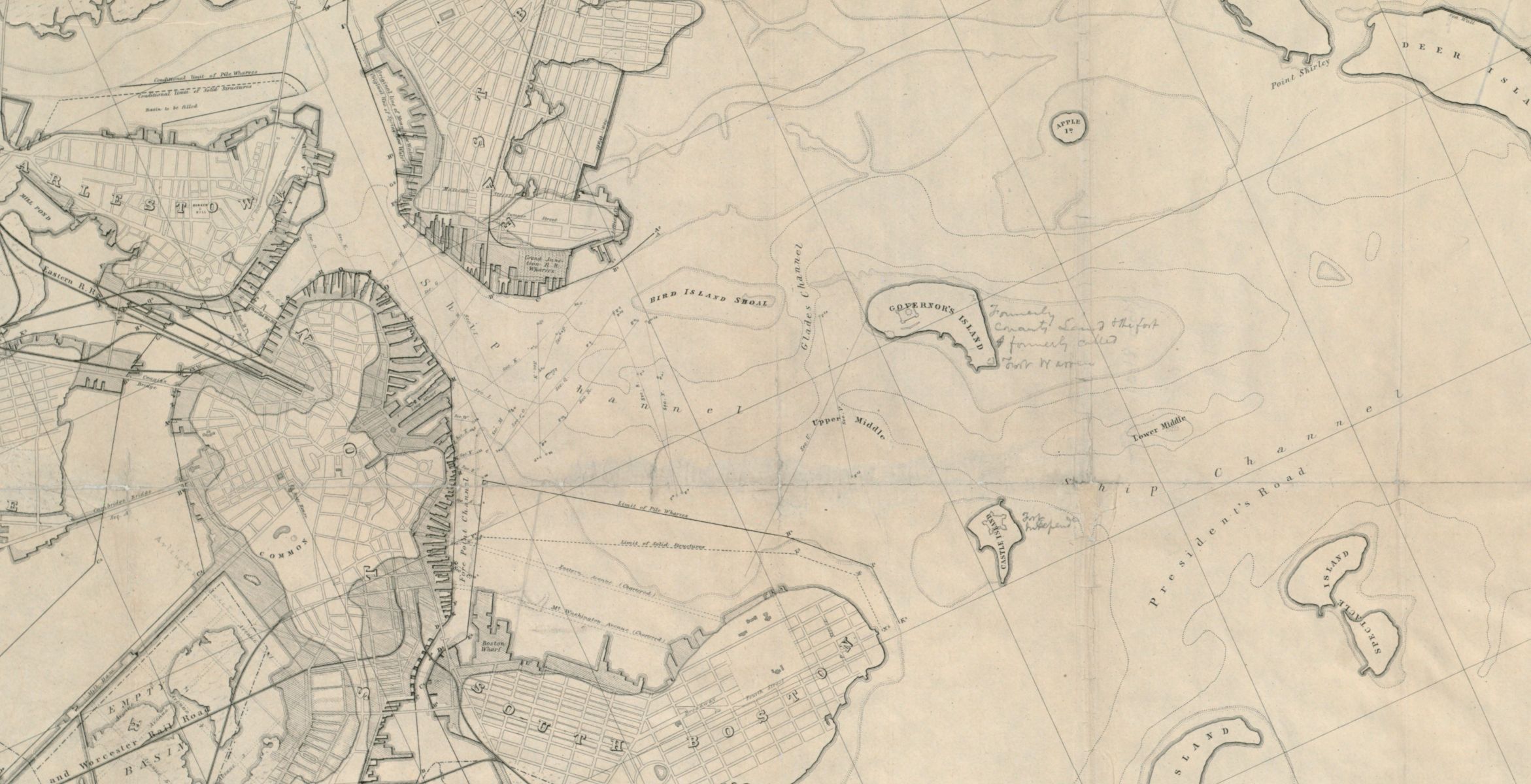
An interactive tour of one of the most important maps in the history of Boston Harbor's environmental management
Read more