- March 19, 2021
- Belle Lipton
Get to Know Your Data: A Conversation with MassDOT
We spoke with Massachusetts Department of Transportation’s lead developer to discuss what it means to oversee public data
Read more
- June 15, 2021
- Eric Robsky Huntley, Garrett Dash Nelson, and Michelle LeBlanc
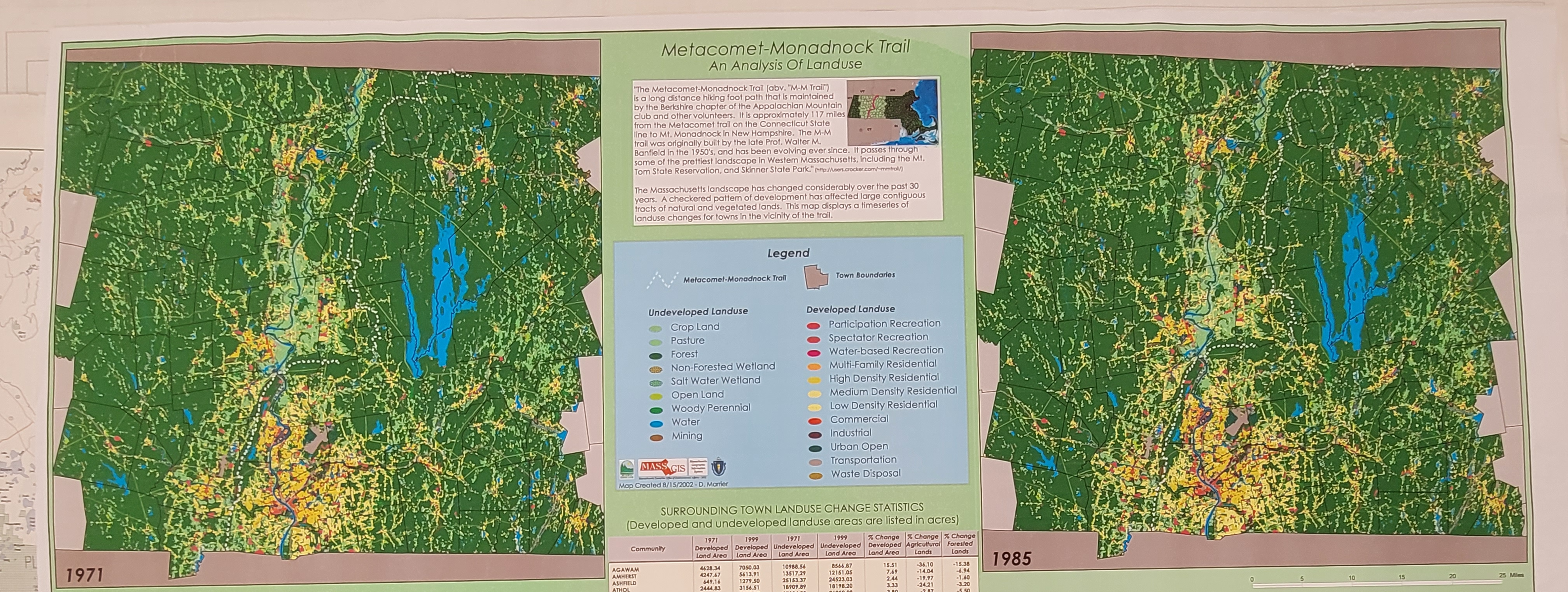
Maps with Young Learners in Mind
A new grant-funded project in collaboration with faculty and students at MIT will support the development of tools to teach critical geospatial data at the pK-12 level
Read more
- June 22, 2022
- Ian Spangler
Growing our collections in the history of computer cartography
At the Leventhal Center, exciting donations have motivated a new collections interest
Read more
- October 20, 2022
- Ian Spangler
Now accepting submissions to LMEC’s Cartography Challenges
Submit your cartographic work for a chance at prize money & exhibition in the LMEC's digital collections!
Read more
- September 12, 2022
- Kyler Hoogendoorn-Ecker
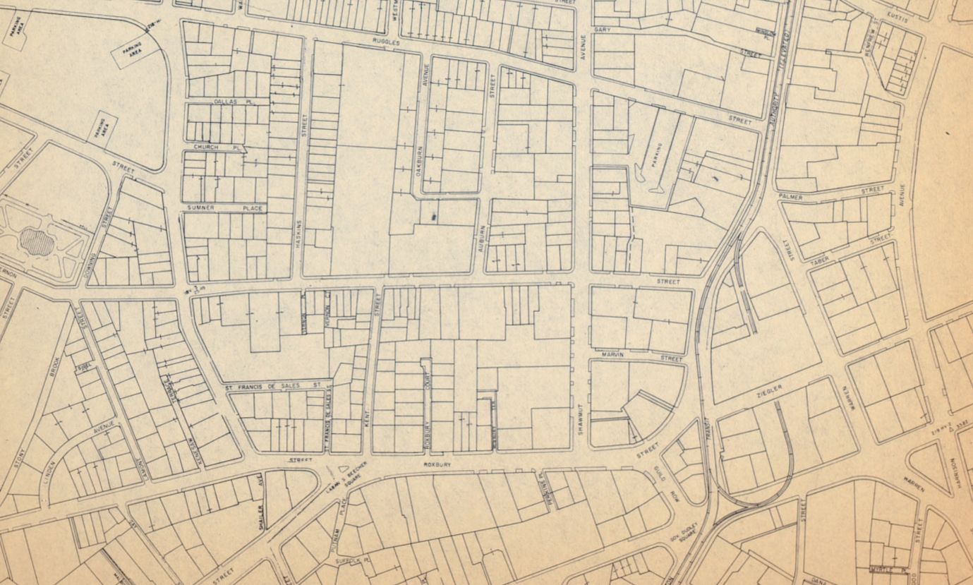
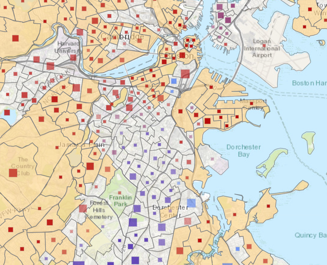
Inviting to all: The geography of the Boston Public Schools exam invitation system
In attempts to make the admissions process more equitable, the system for exam school invitations at BPS has changed three times in as many years. How can maps help us make sense of these changes?
Read more
- October 26, 2021
- Michelle LeBlanc
Beyond the Map: Engaging Audiences with GIS at the Leventhal Map & Education Center
Leventhal Center staff recently published an article in the Journal of Map & Geography Libraries that highlights the Center’s geospatial data work, including use of our public data portal and our Maptivists initiative with Boston high schools.
Read more
- June 17, 2022
- Ian Spangler
All the maps, all the time: an interview with Bert Spaan
Digitized maps—especially georeferenced ones—can be tough to find, hard to access, and difficult to bring to life. With his Allmaps project, Bert Spaan is trying to change that.
Read more