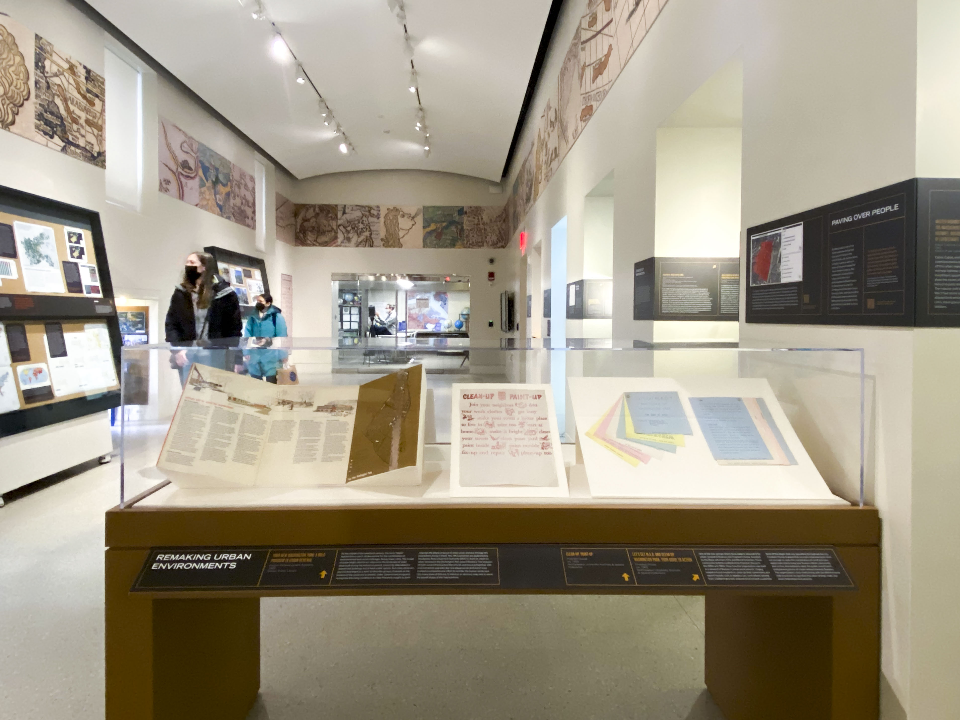
Building Blocks
Introduction
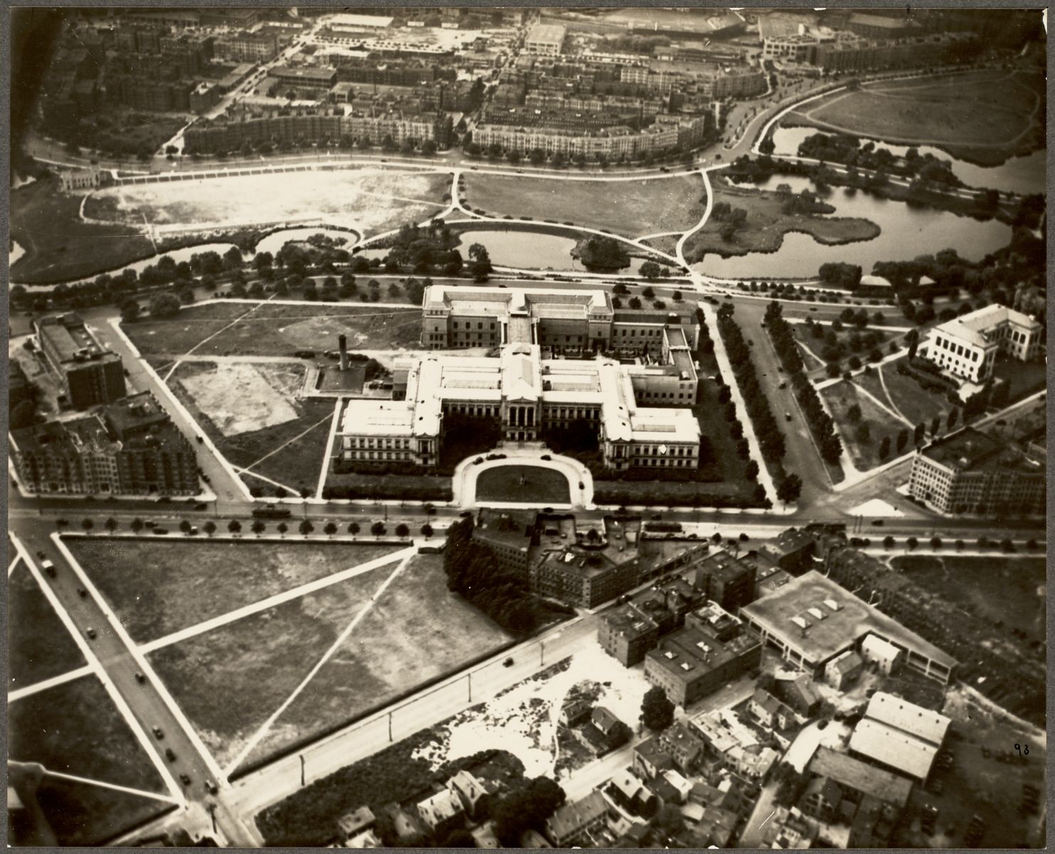
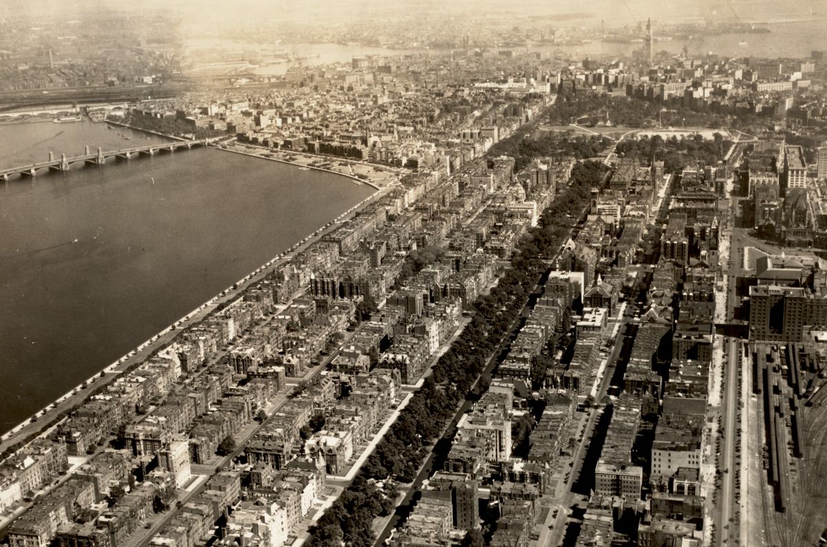
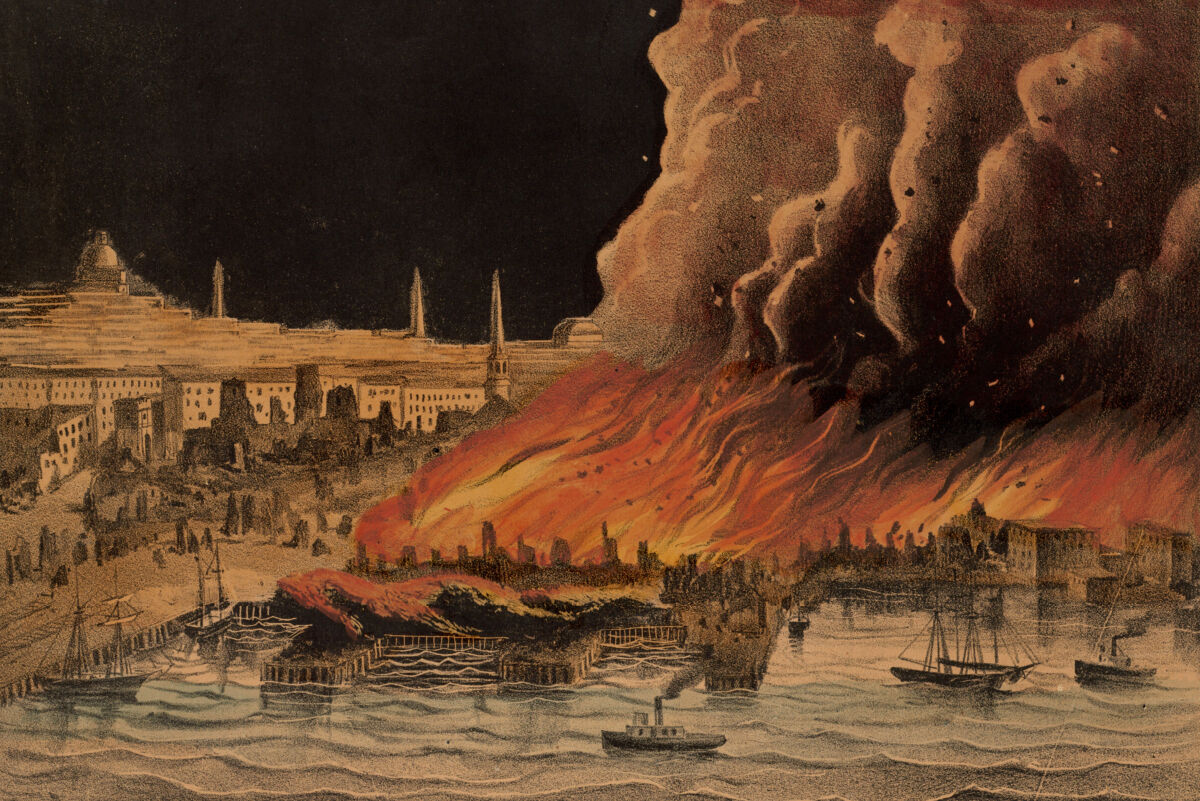
In the period spanning the Civil War to World War II, Boston’s urban fabric experienced profound changes. The city filled in new neighborhoods, annexed suburbs serviced by streetcars, and ventured on ambitious infrastructure to stake its claim as a metropolis worthy of the name. With each development, opportunities for new types of social interactions emerged in tandem. As communities and individuals responded to a shifting urban landscape, countless stories unfurled and brought life into the folds of a complex city. Building Blocks explores this extraordinary moment of transformation through the lens of the Leventhal Map & Education Center’s urban atlases.
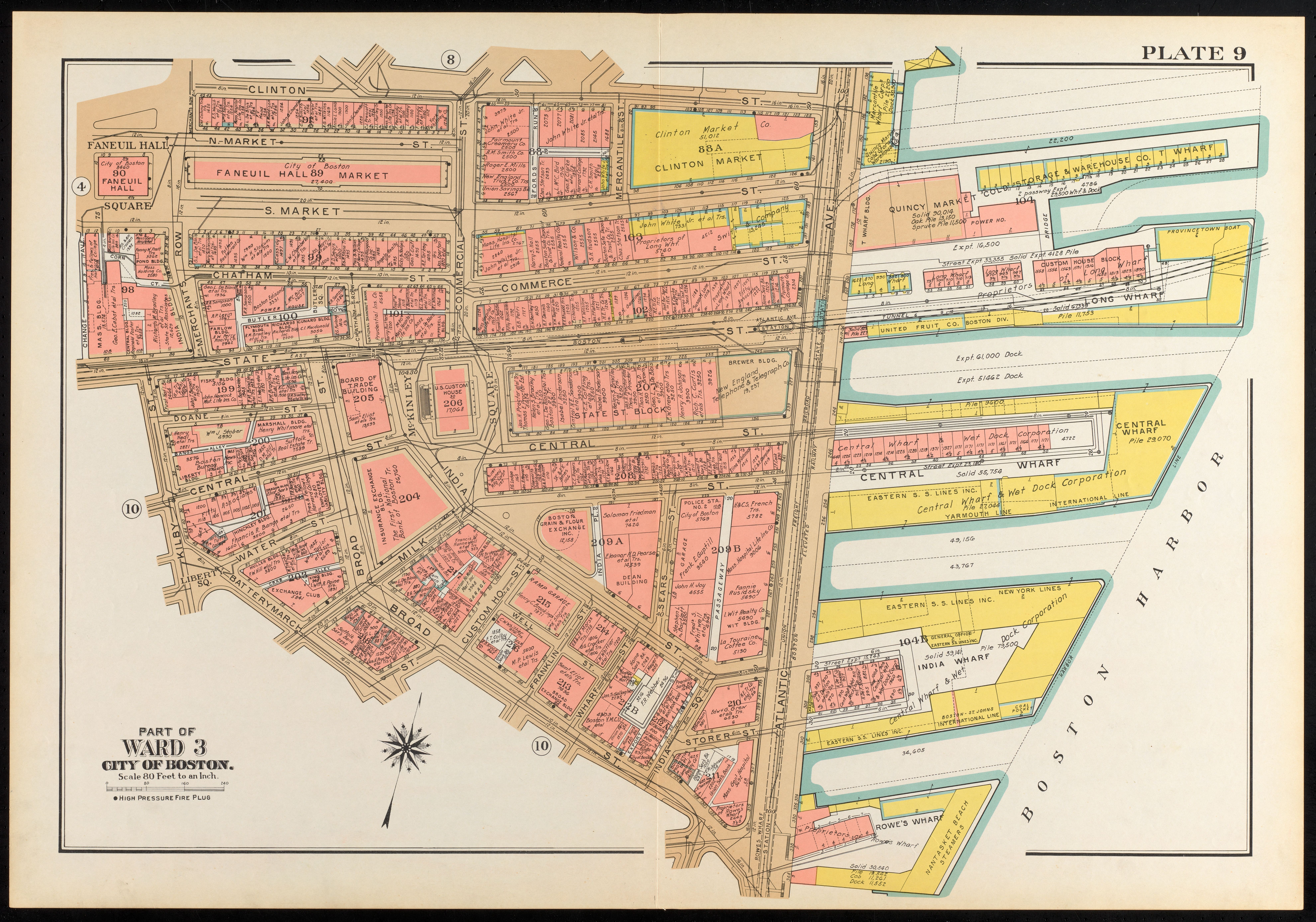
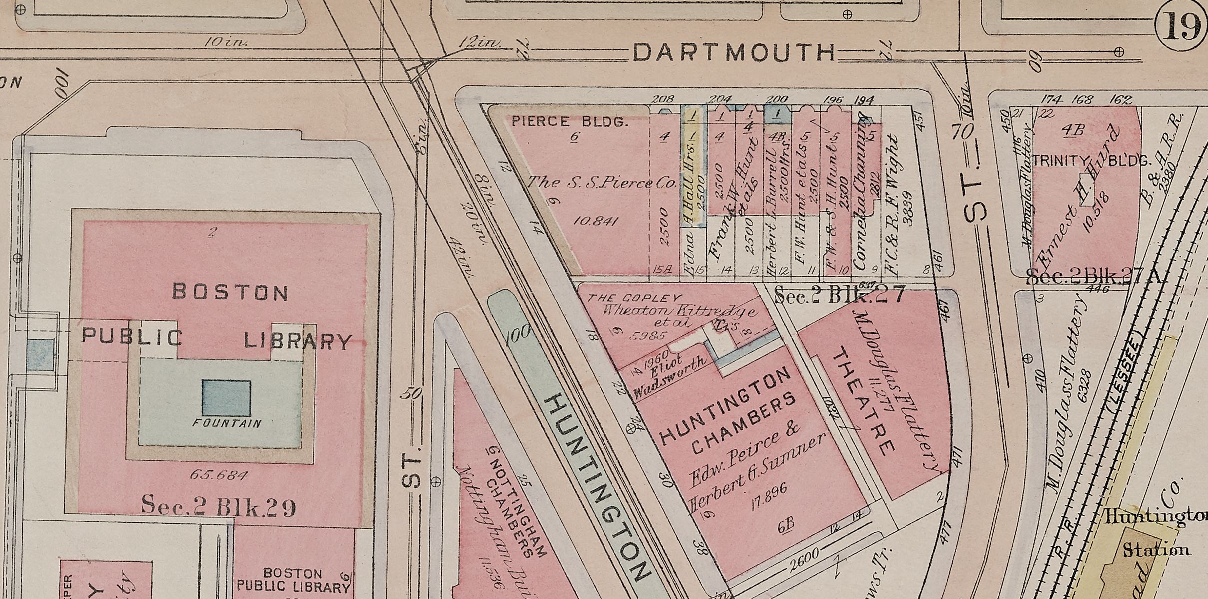
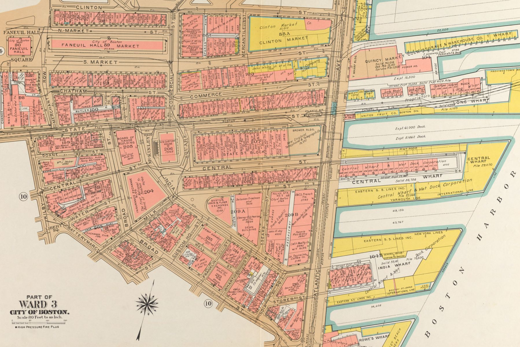
Urban atlases are a collection of maps that are especially well-suited for discovering change by tracking small-scale interventions in the built environment. These atlases display property, street, utility, and building information—details which reflect their original purpose as maps for the fire insurance and real estate industries. The scale of these atlas plates (typically one inch on the map equals fifty feet in reality) brings viewers close to the scenes of blocks, streets, and buildings, and thus closer to the people whose stories made these spaces into vibrant neighborhoods. Building Blocks travels to different areas of metropolitan Boston over several decades to get an episodic view, illuminating the many stories that are preserved in the atlases. Beyond the stories narrated in this exhibition, the rich details of the atlases hint at thousands, or even millions, of others. From the perspective of these pages, perhaps it’s not so difficult to imagine one’s own story in a rapidly developing city during a moment steeped in change.
Constructing a City
Taking Care
Creating Communities
Having Fun
Growing Up
Making and Trading