- July 5, 2022
- Lynn Brown
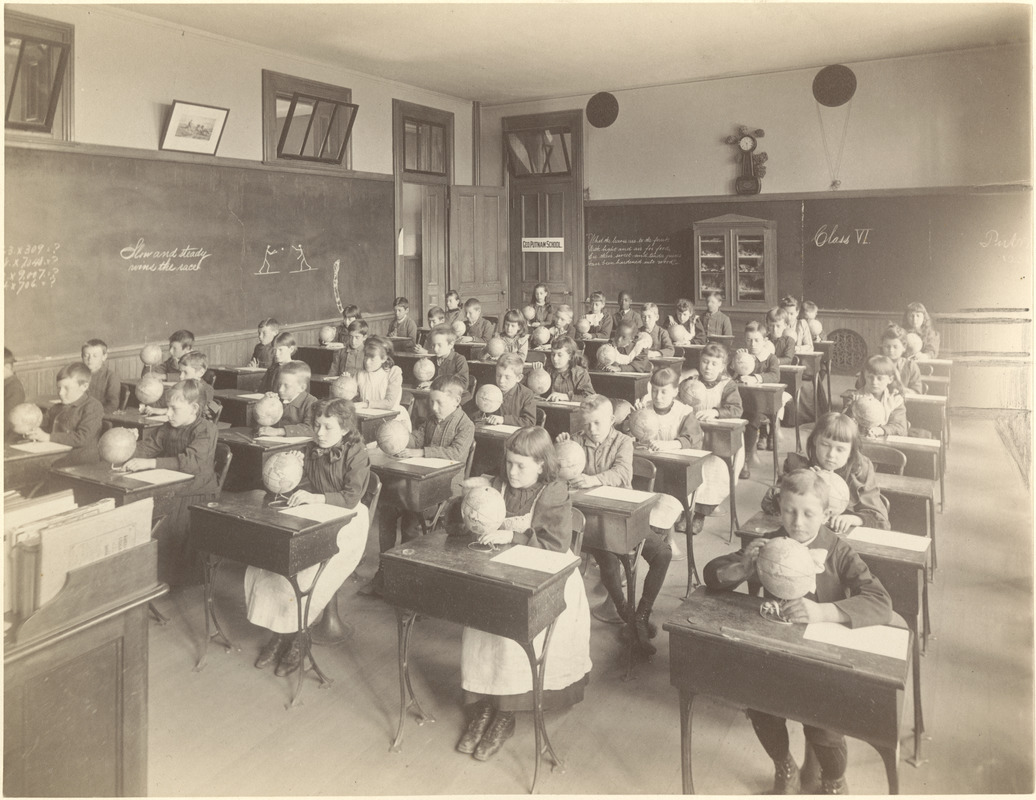
School’s Out: Student Projects from the 2021-2022 Academic Year
The 2021-2022 school year has come to a close. Our K-12 Education Team, partner schools, educators, and students sure were busy!
Read more The 2021-2022 school year has come to a close. Our K-12 Education Team, partner schools, educators, and students sure were busy!
Read more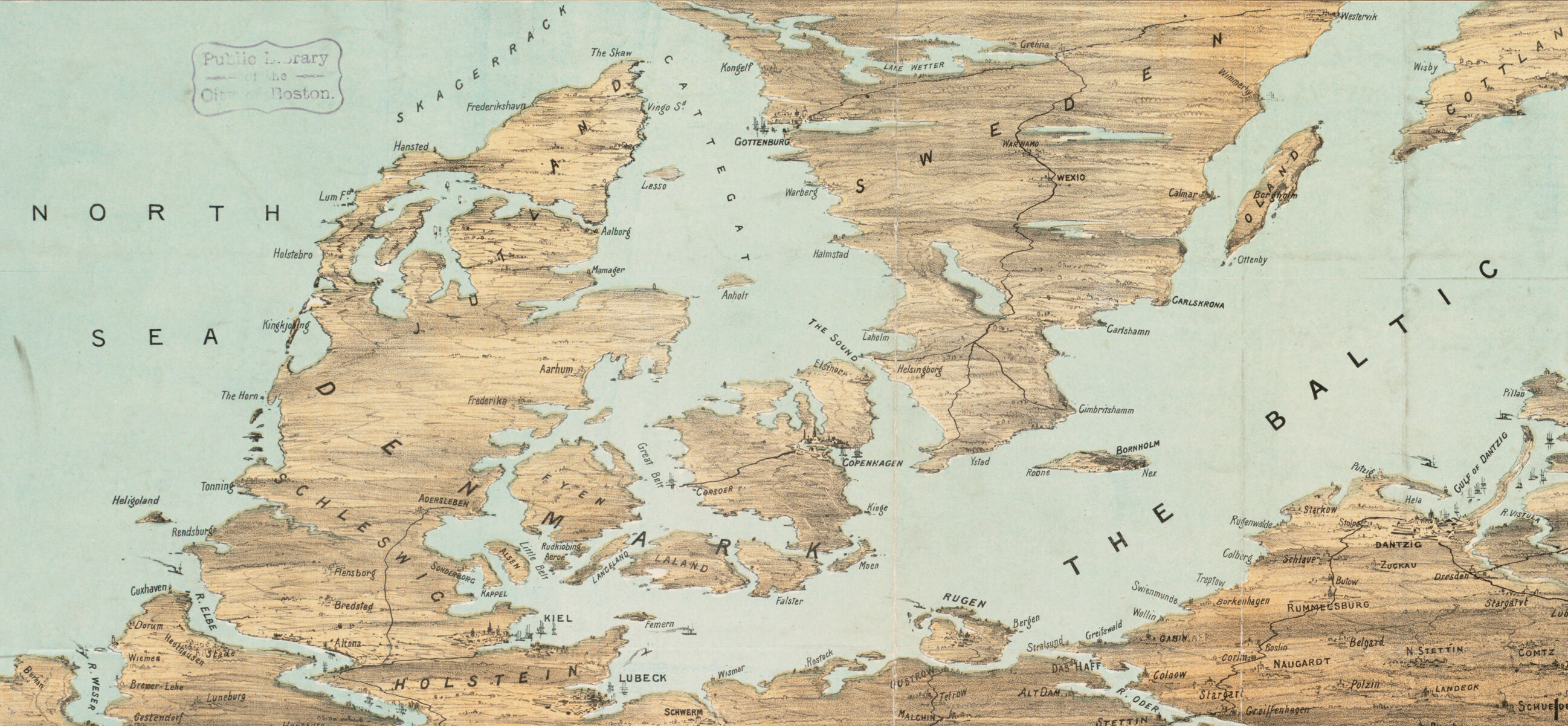
In celebration of Alan Leventhal’s appointment as US Ambassador to Denmark, we take a look at some Danish connections in our collections
Read more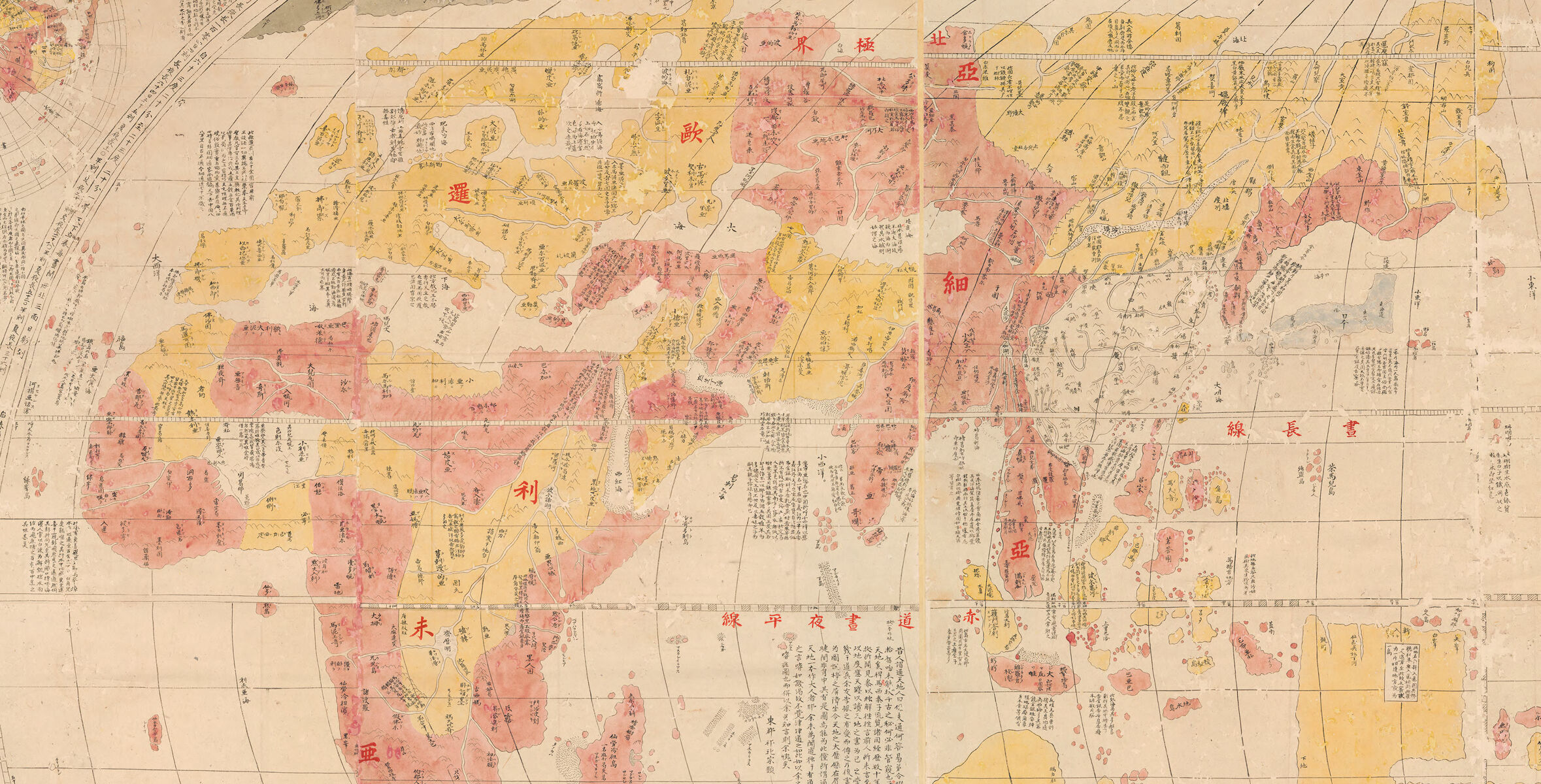
In this interactive Map Chat from the MacLean Collection, learn more about how Japanese mapmakers saw the world in late 18th and early 19th centuries
Read more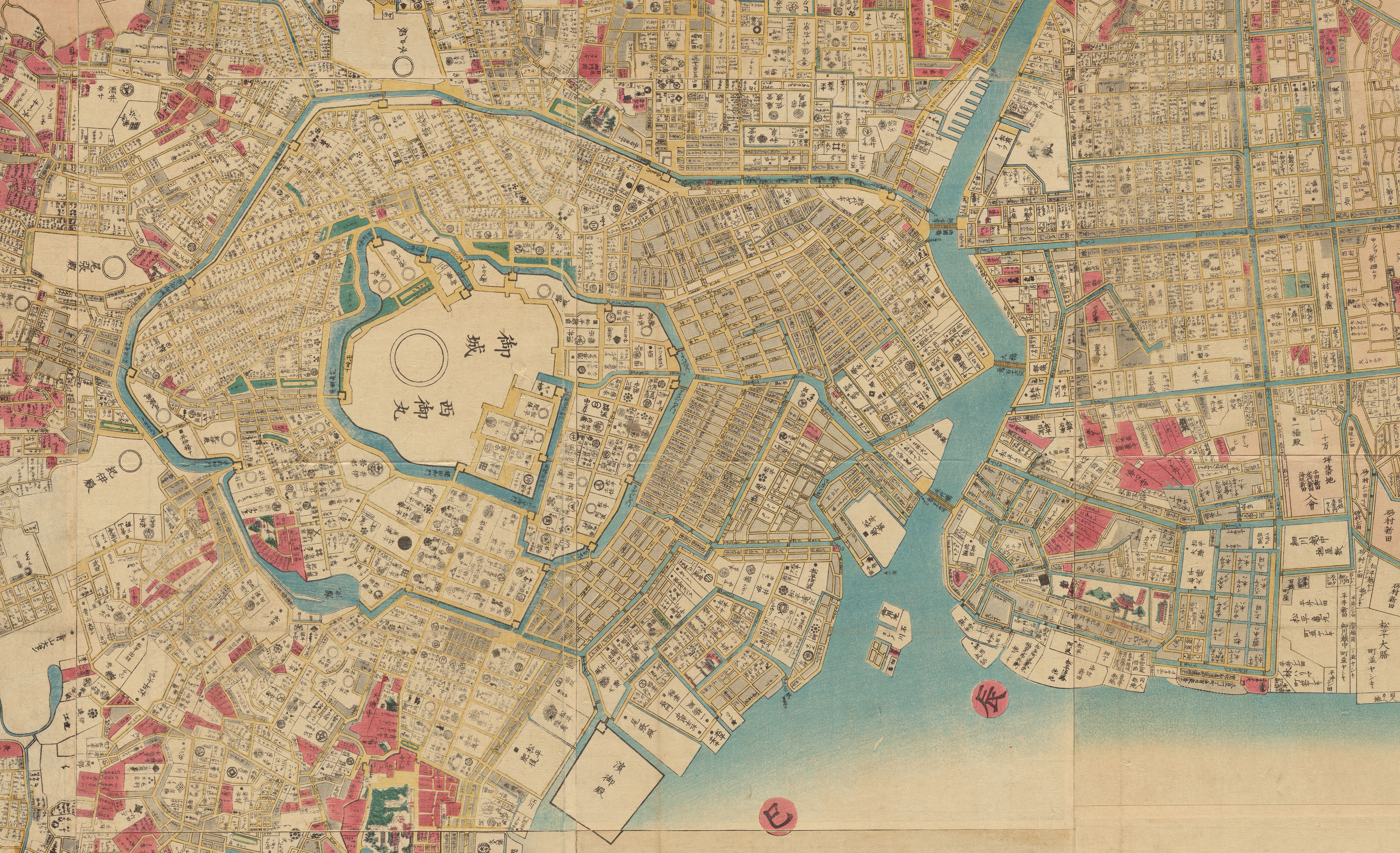
Welcome to our new summer intern and Seevak Fellow!
Read more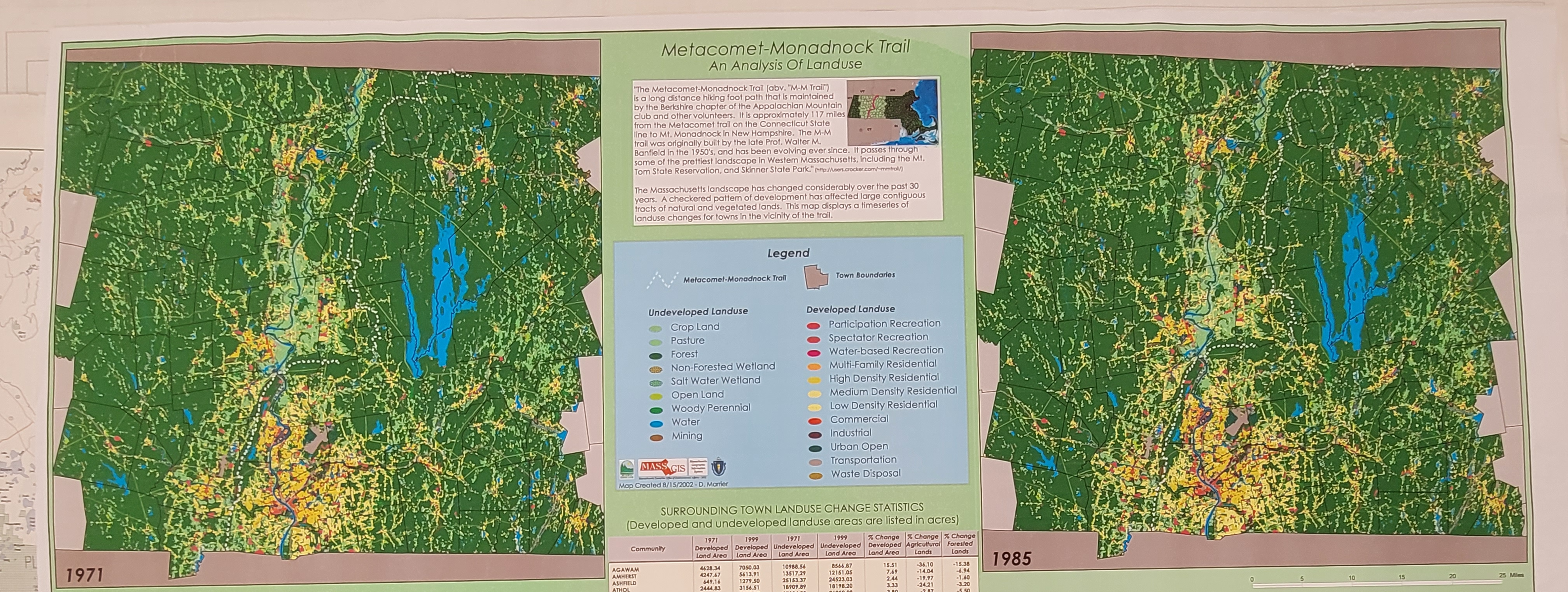
At the Leventhal Center, exciting donations have motivated a new collections interest
Read more
Digitized maps—especially georeferenced ones—can be tough to find, hard to access, and difficult to bring to life. With his Allmaps project, Bert Spaan is trying to change that.
Read more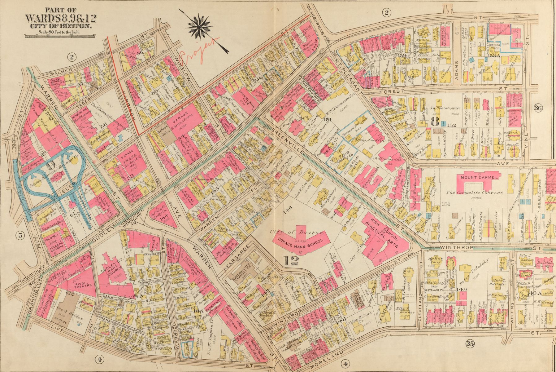
The Leventhal Center has been awarded a Library of Congress Teaching with Primary Sources (TPS) Regional Grant to support a 2023 urban atlas exhibition.
Read more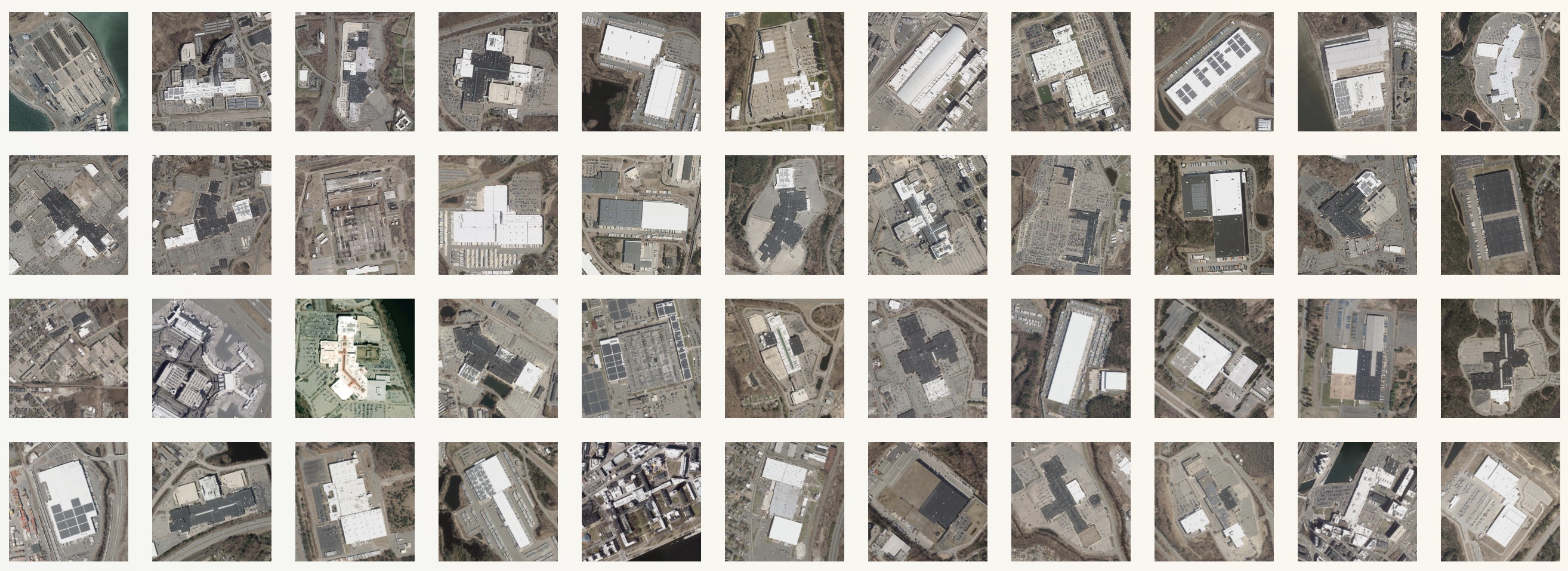
A new map visualization invites you to look at patterns in the landscape as seen from above
Read more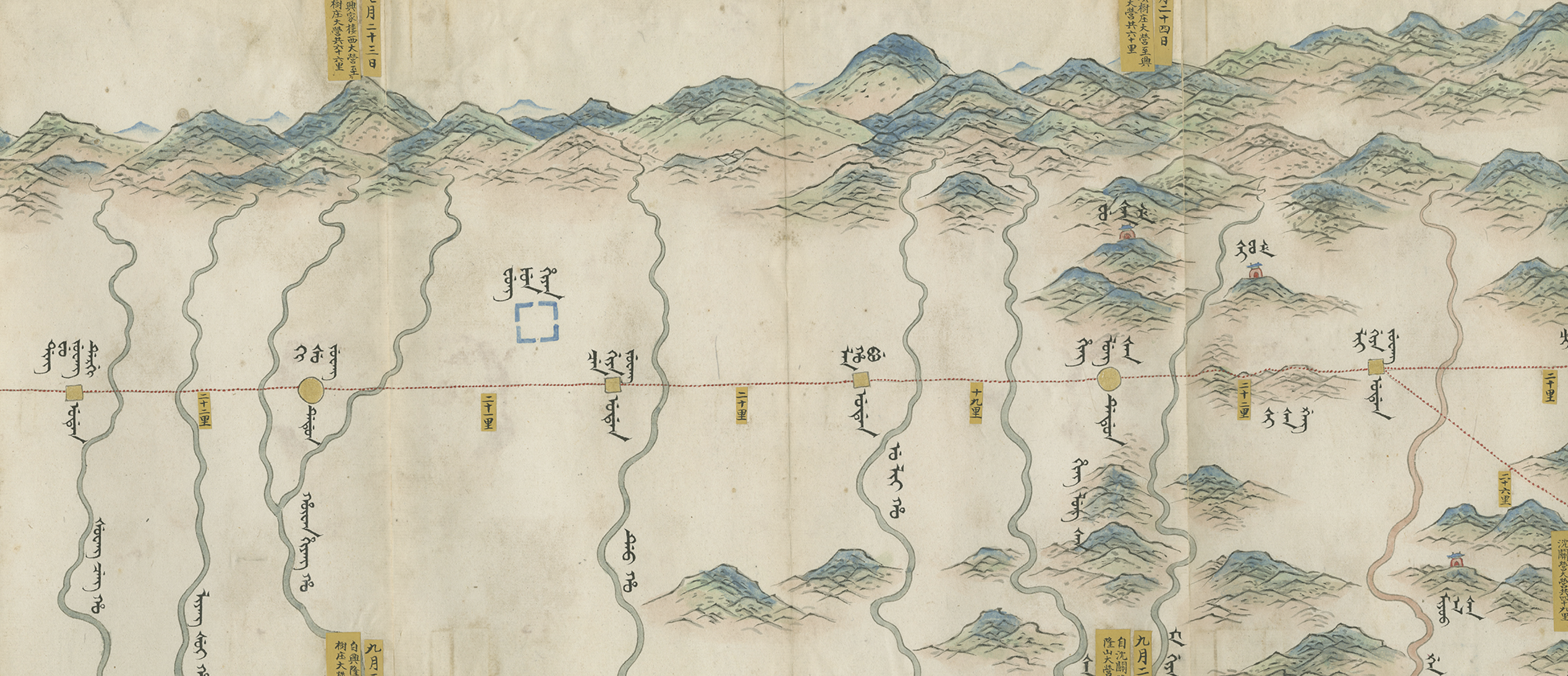
Travel alongside the Qianlong Emperor in this interactive tour of a map nearly twenty feet long
Read more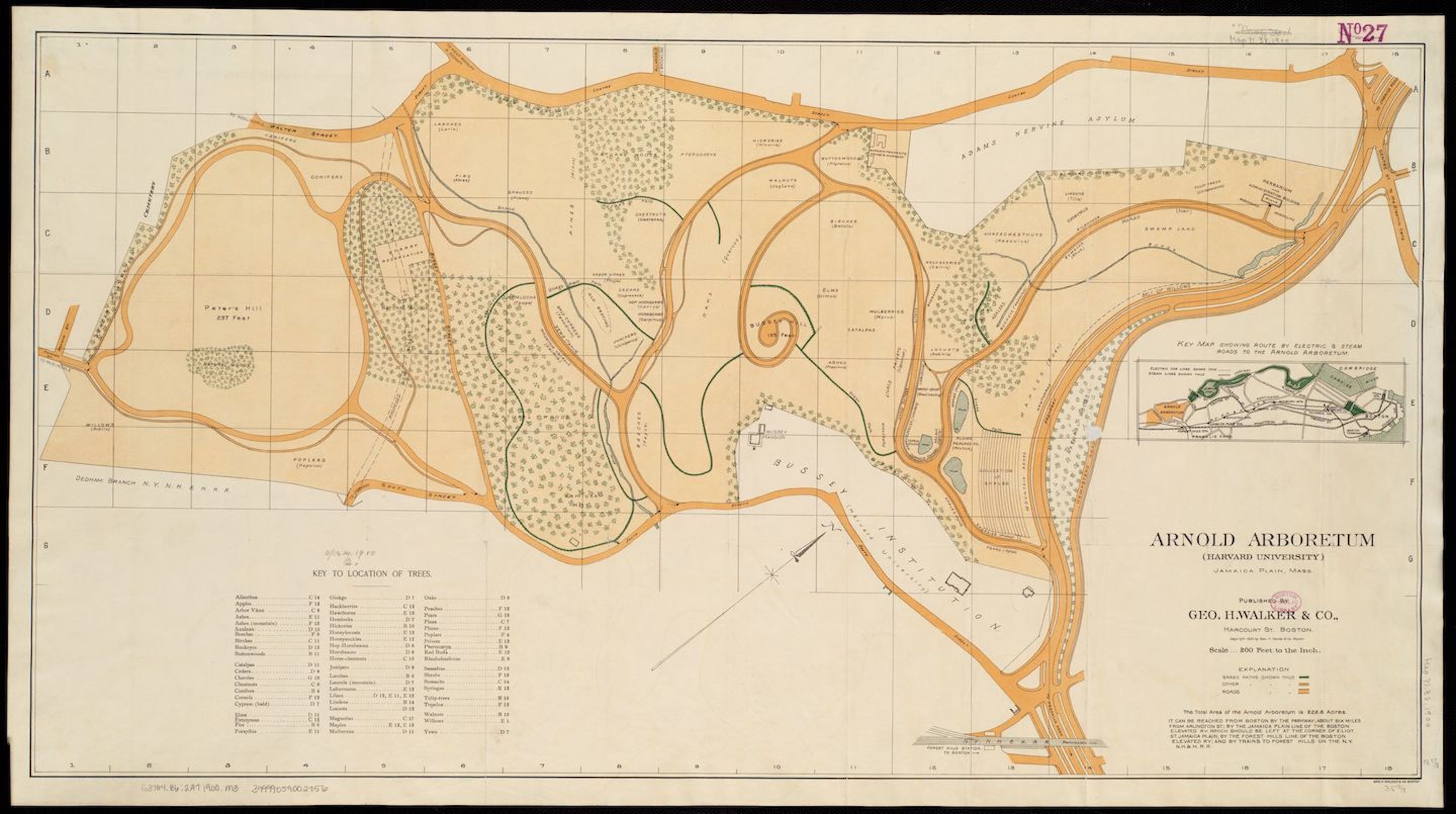
Today—April 26th, 2022—marks the 200th anniversary of the birth of Frederick Law Olmsted. Join us in celebrating his legacy and contributions to landscapes across the country!
Read more