- February 3, 2023
- LMEC Staff
Spotlighting the work of our teen curators
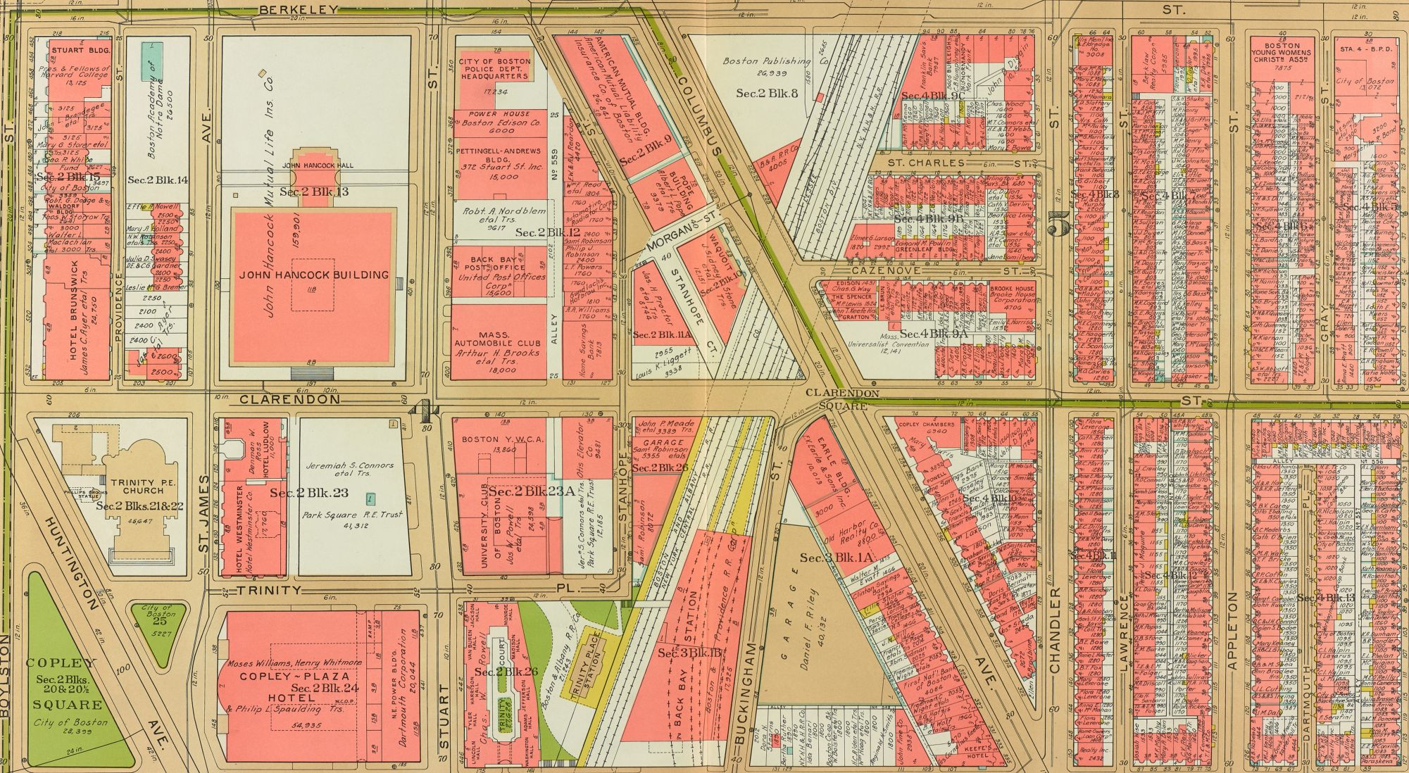
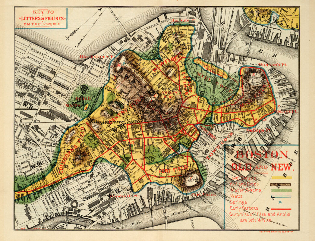
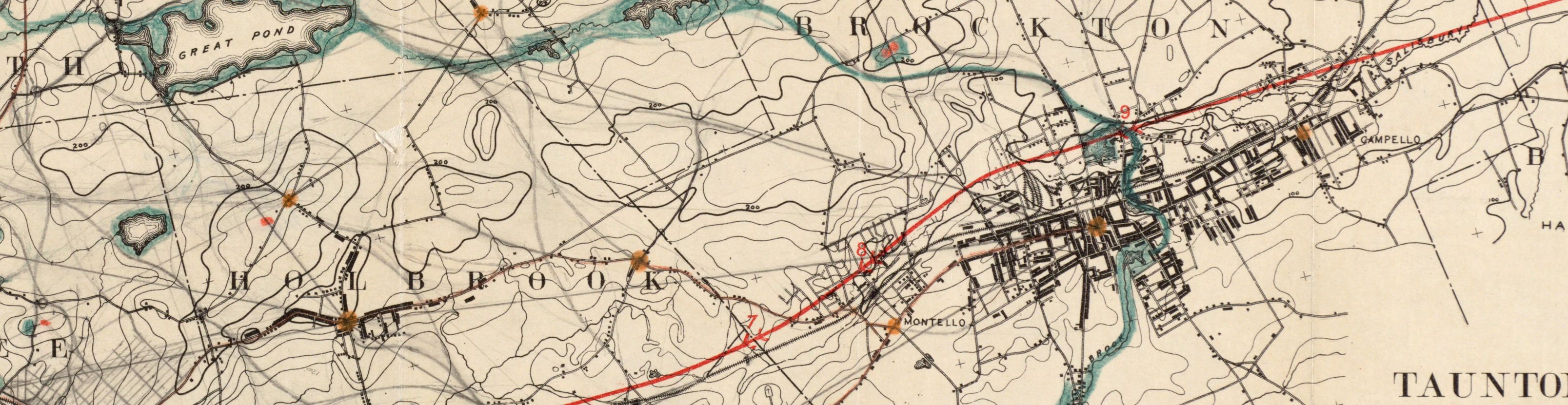
For our new rotating exhibition, Building Blocks: Boston Stories from Urban Atlases, the Leventhal Center hired and worked with three high school students from Boston Public Schools as teen curators.
Read more