- May 20, 2025
- Mario Cams
Copying Maps in Early Modern East Asia
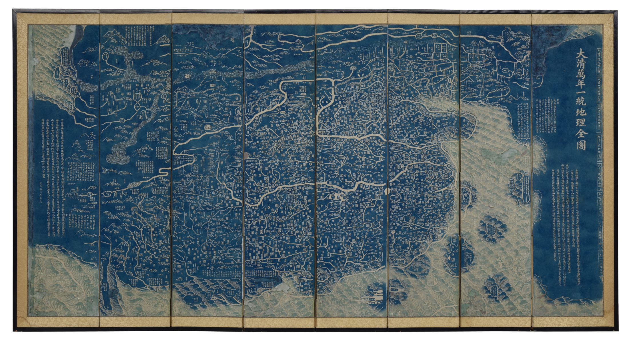
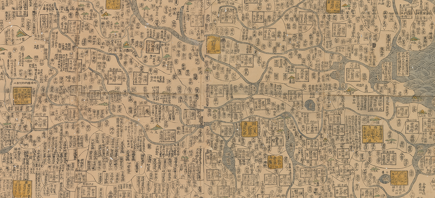
Studying one particular copy of an eighteenth-century map of the Ming Empire opens up a genealogy of printed maps
Read more
Studying one particular copy of an eighteenth-century map of the Ming Empire opens up a genealogy of printed maps
Read more
Explore the cosmos and the world-spaces of the Jain religion
Read more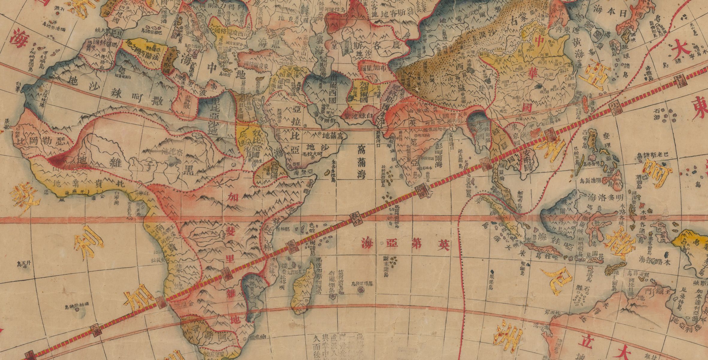
See how the Qing Empire's mapping of world geography changed during and after the imposition of European power in the Opium Wars
Read more
When a French captain sailed past Japan in the late eighteenth century, a guess about toponyms set off a century of cartographic confusions
Read more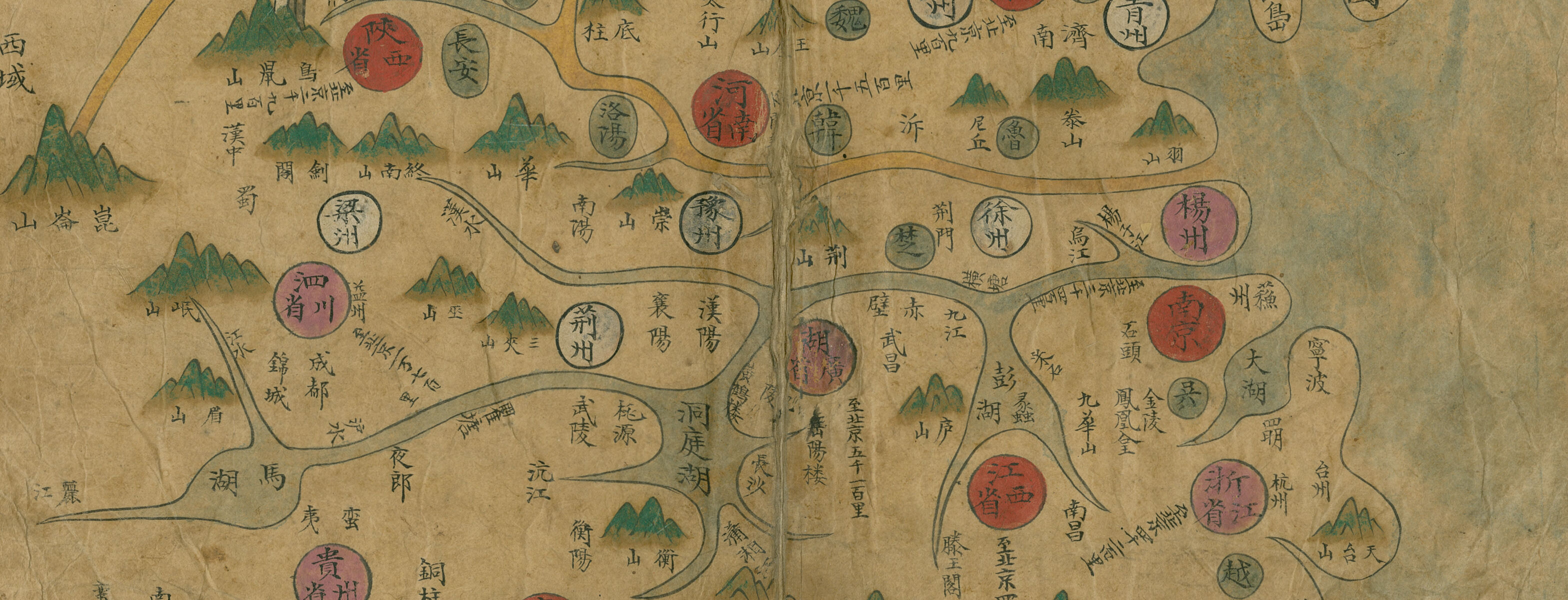
How did Korean cartography evolve in the Joseon period? Explore this interactive Map Chat from the MacLean Collection to learn more about a fascinating collection of atlases.
Read more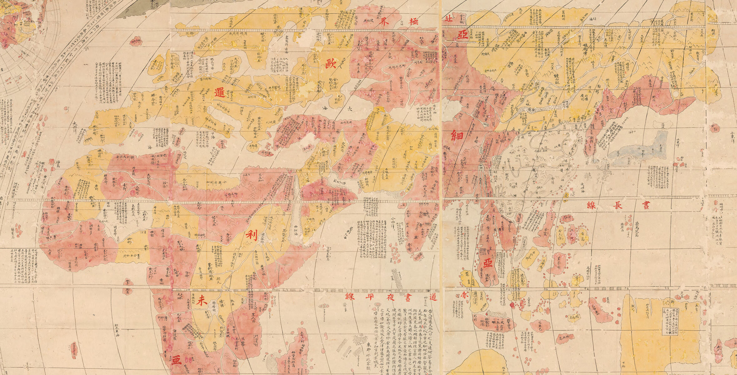
In this interactive Map Chat from the MacLean Collection, learn more about how Japanese mapmakers saw the world in late 18th and early 19th centuries
Read more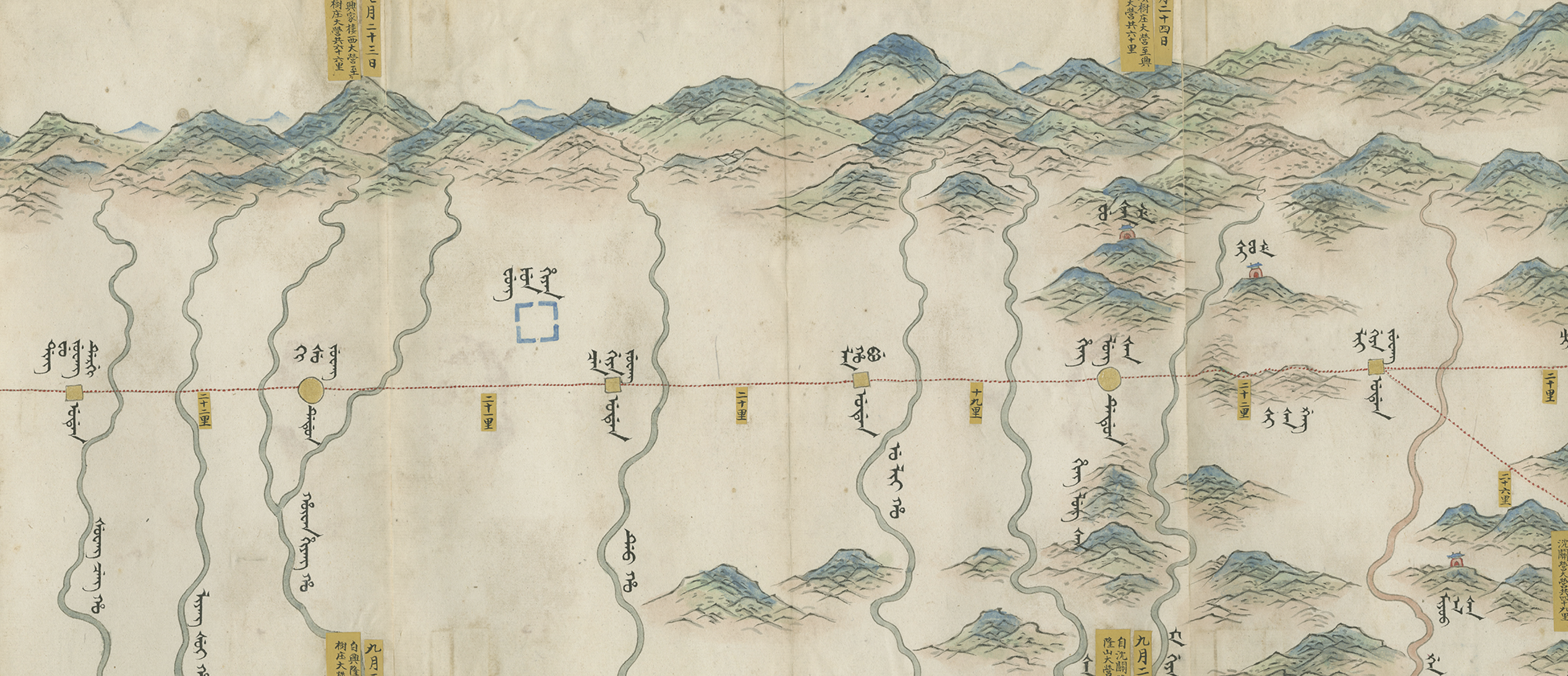
Travel alongside the Qianlong Emperor in this interactive tour of a map nearly twenty feet long
Read more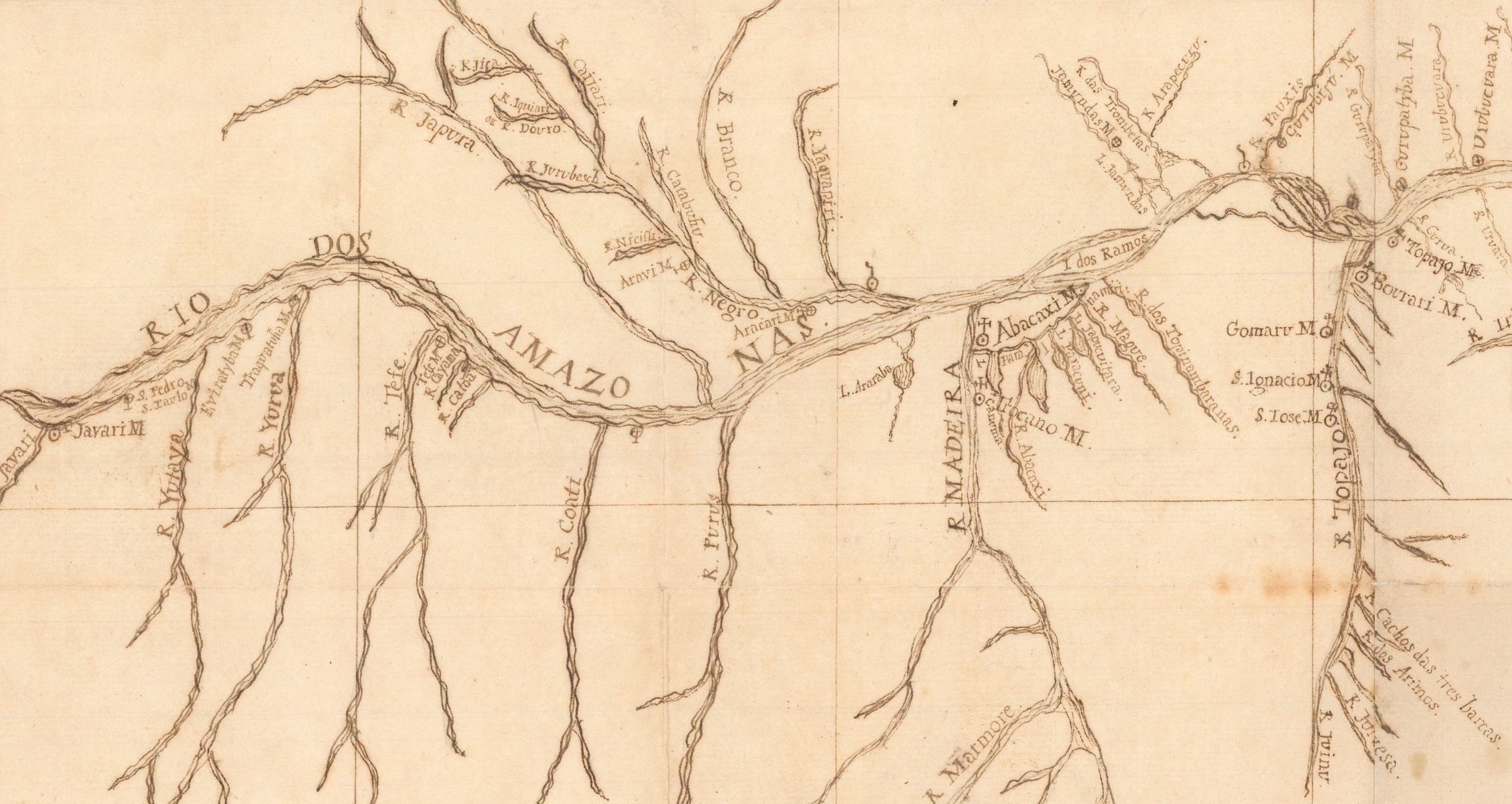
A 1755 map created by a German Jesuit missionary for the Portuguese Empire casts new light on early European efforts to map the Amazon River valley
Read more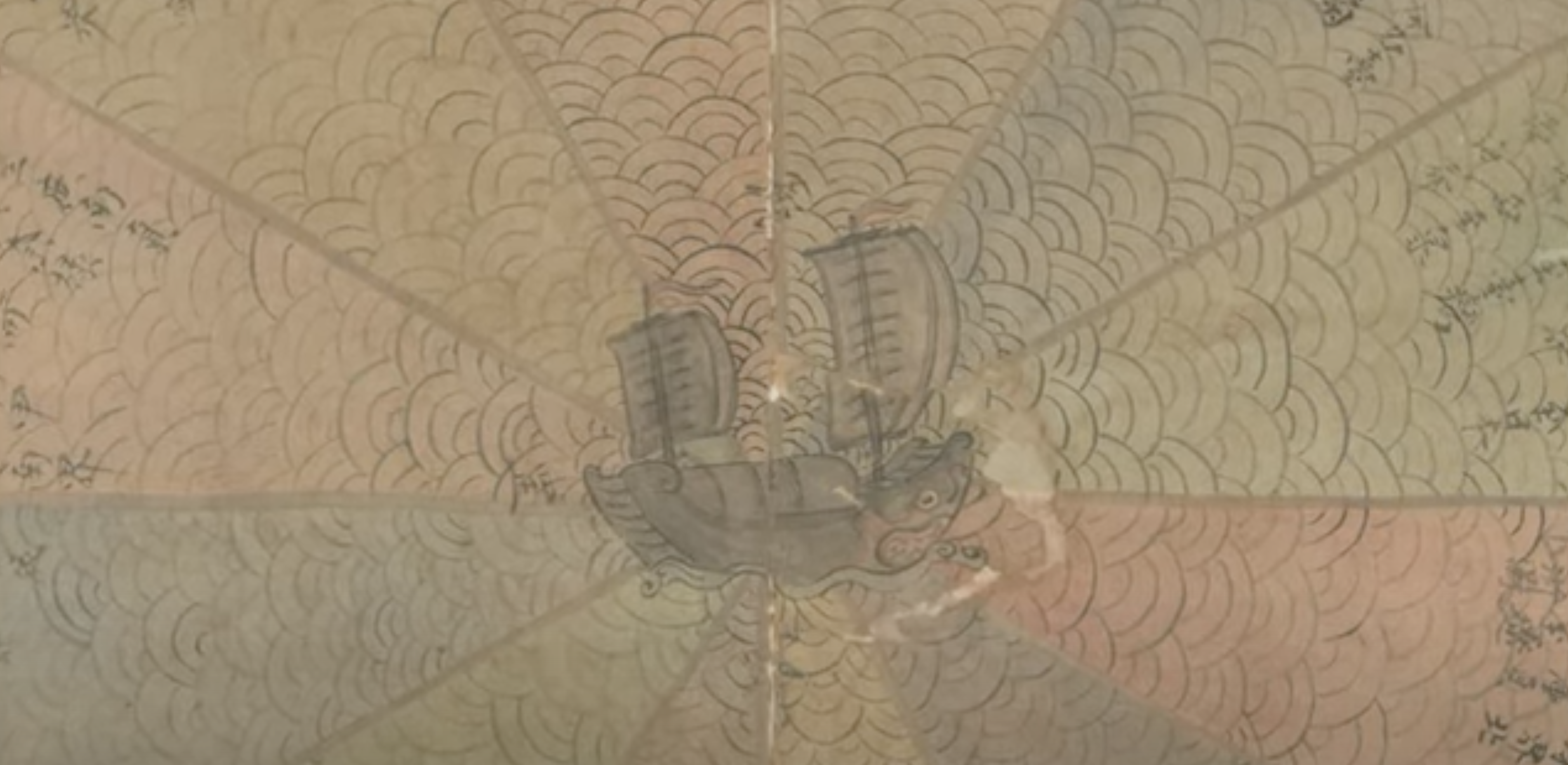
A video tour through an intriguing "pie chart" maritime diagram for a ship in the South China Sea
Read more