Location
Leventhal Map & Education Center — Learning Center
Date
Friday, May 30, 2025
Time
6:00 PM EDT
Cost
Free
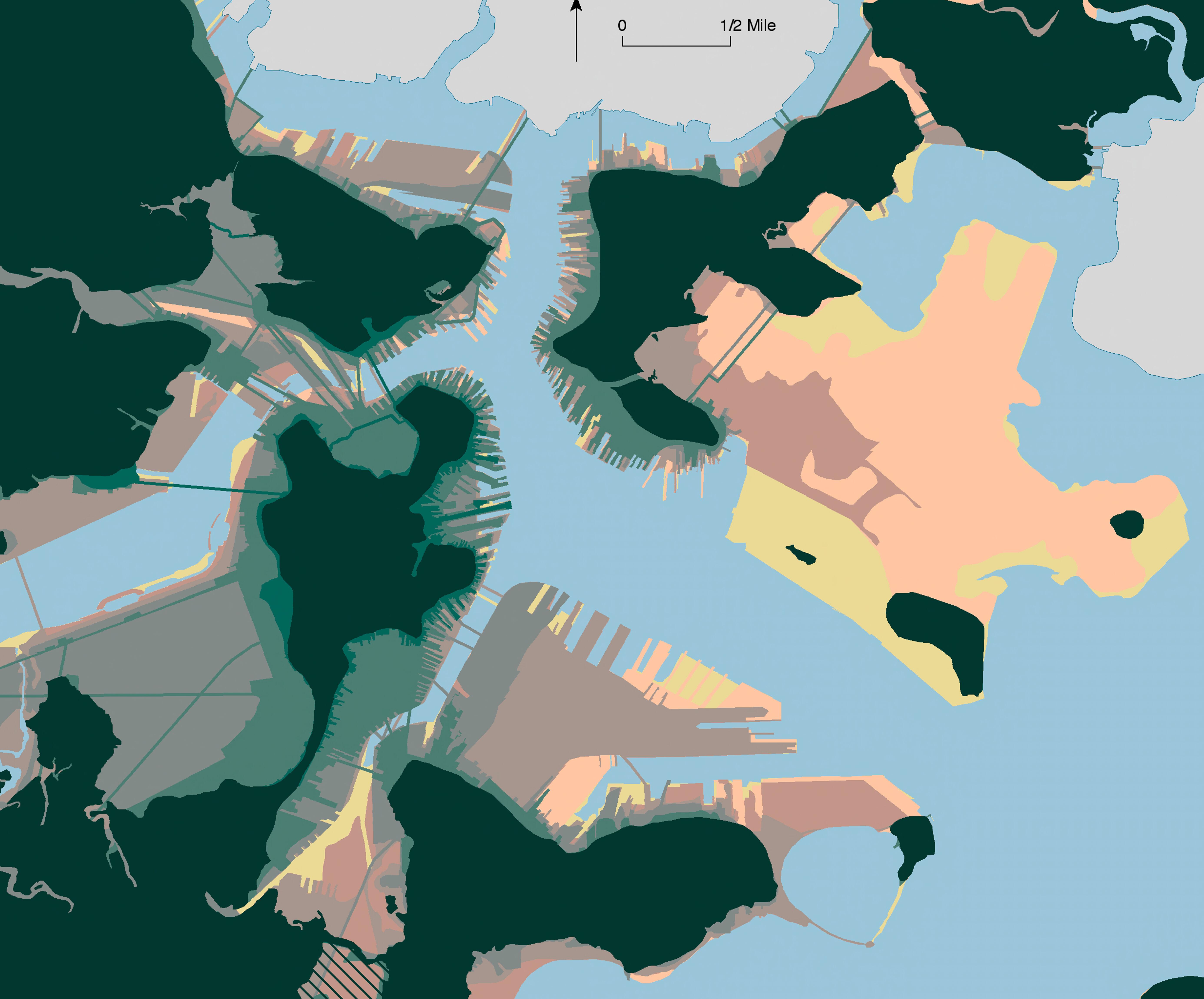
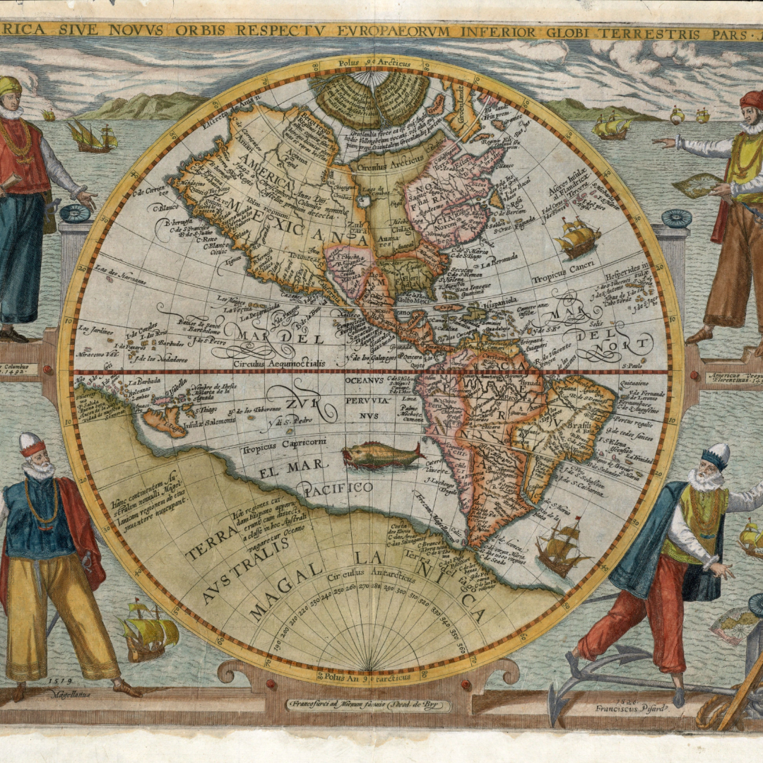
Originally drawn in 1722, the map commonly referred to as the “Bonner map” was the first printed map of Boston.
Titled “The town of Boston in New England,” the map details the locations of streets, churches, and town buildings in pre-Revolutionary Boston. Its incredible level of detail made it a popular reference map for future mapmakers in the eighteenth and nineteenth centuries.
In this From The Vault, we will explore the Bonner map’s evolution over a half-century and its enduring cartographic influence into the twentieth century.
This free showing will be hosted Friday, May 30 in the Leventhal Map & Education Center with a staff member available to answer questions.
Drop in any time between 2:00PM - 4:00PM. No reservation is required.
From The Vault
The Leventhal Map and Education Center cares for more than a quarter million cartographic and geographic objects, including maps, atlases, charts, globes, gazetteers, ephemera, research texts, and data sets. With such an extensive collection, it is likely that many of these objects will never be included in exhibitions for public viewing.
Our latest series, From The Vault, attempts to remedy that limitation. From The Vault is a biweekly, casual collections showing of objects selected by Leventhal Center staff. These drop-in sessions do not include a formal presentation, though Leventhal Center staff will be available to interpret objects, chat, and answer questions.