Location
Leventhal Map & Education Center
Date
Friday, Aug 14, 2026
Time
2:00 PM EDT
Cost
Free
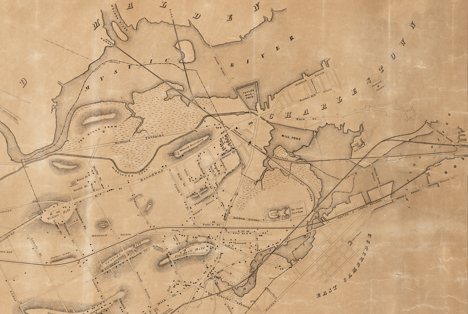
If you’ve ever been to the beach, you know that shorelines fluctuate between land and sea with the ebb and flow of the tide. But how do you map something that is always in motion? Throughout history, people expected maps to reliably distinguish dry property from navigable water. As a port city with a long history of human-made land, Boston’s maps projected clarity onto ambiguous coastlines.
In this From The Vault collections showing, explore maps of Boston to learn how cartographers depicted fluctuating and ambiguous coastlines since the 1600s.
This free showing will be hosted on Friday, August 14, 2026 in the Learning Center with a staff member from the Leventhal Center available to answer questions.
Registration not required. Drop by our Learning Center any time between 2:00 pm and 4:00 pm.