
- October 30, 2020
- Belle Lipton
MBTA Data Activity
New follow-along tutorials to turn free data into a colorful subway map
Read more
- March 19, 2021
- Belle Lipton
Get to Know Your Data: A Conversation with MassDOT
We spoke with Massachusetts Department of Transportation’s lead developer to discuss what it means to oversee public data
Read more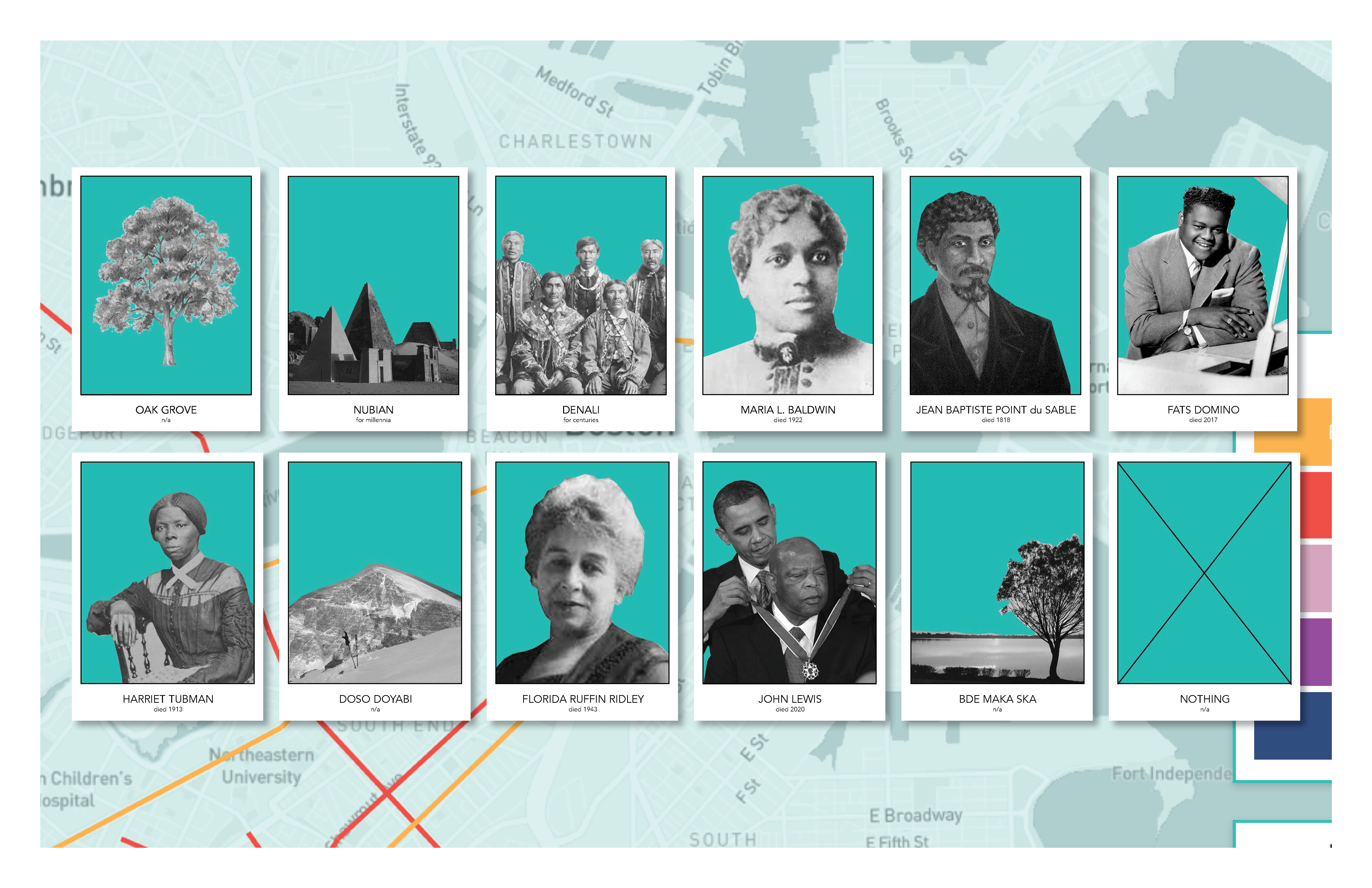
- March 4, 2021
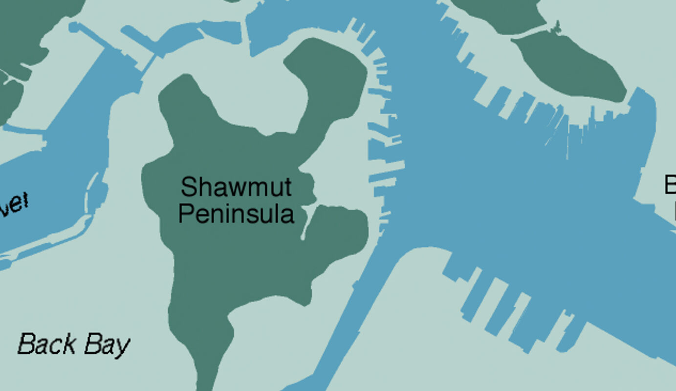
- Garrett Dash Nelson
Making water into gold
How much of Boston’s present-day property value would have been underwater in 1630?
Read more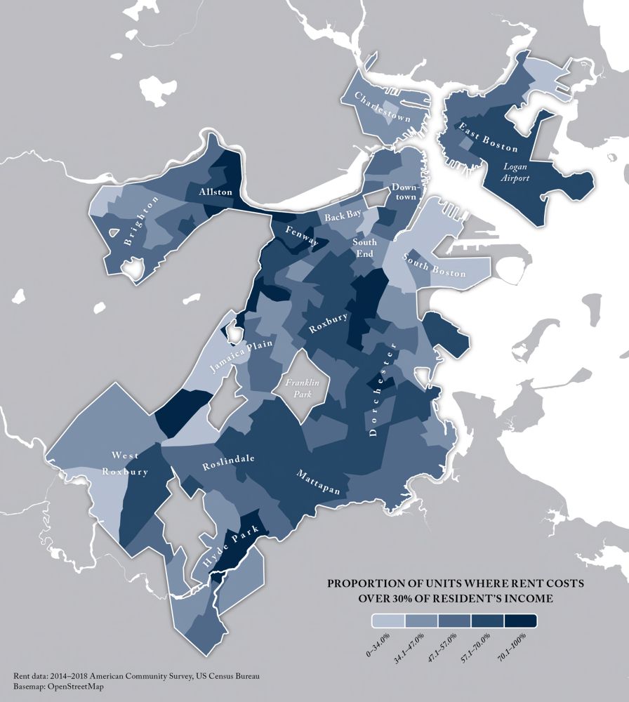
- December 21, 2020
- Garrett Dash Nelson and Belle Lipton
Introducing our Public Data project
The Leventhal Map & Education Center is breaking new ground in bringing geospatial data empowerment to the public, supported by a grant from the Northeast Big Data Innovation Hub
Read more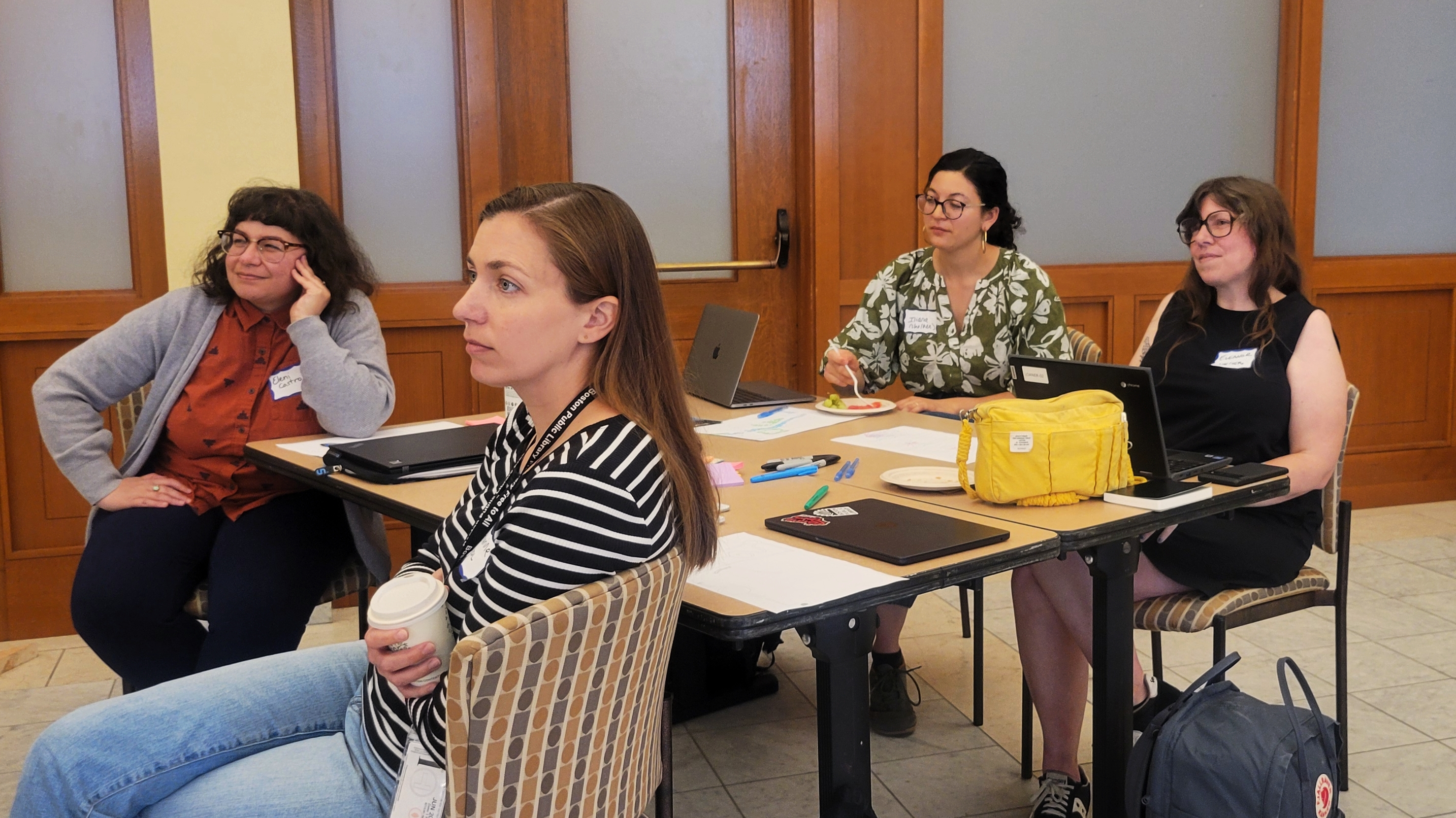
- July 17, 2024
- Ian Spangler
Civic Data Partnership with Civic Switchboard
A workshop on civic data, hosted by Civic Switchboard & LMEC
Read more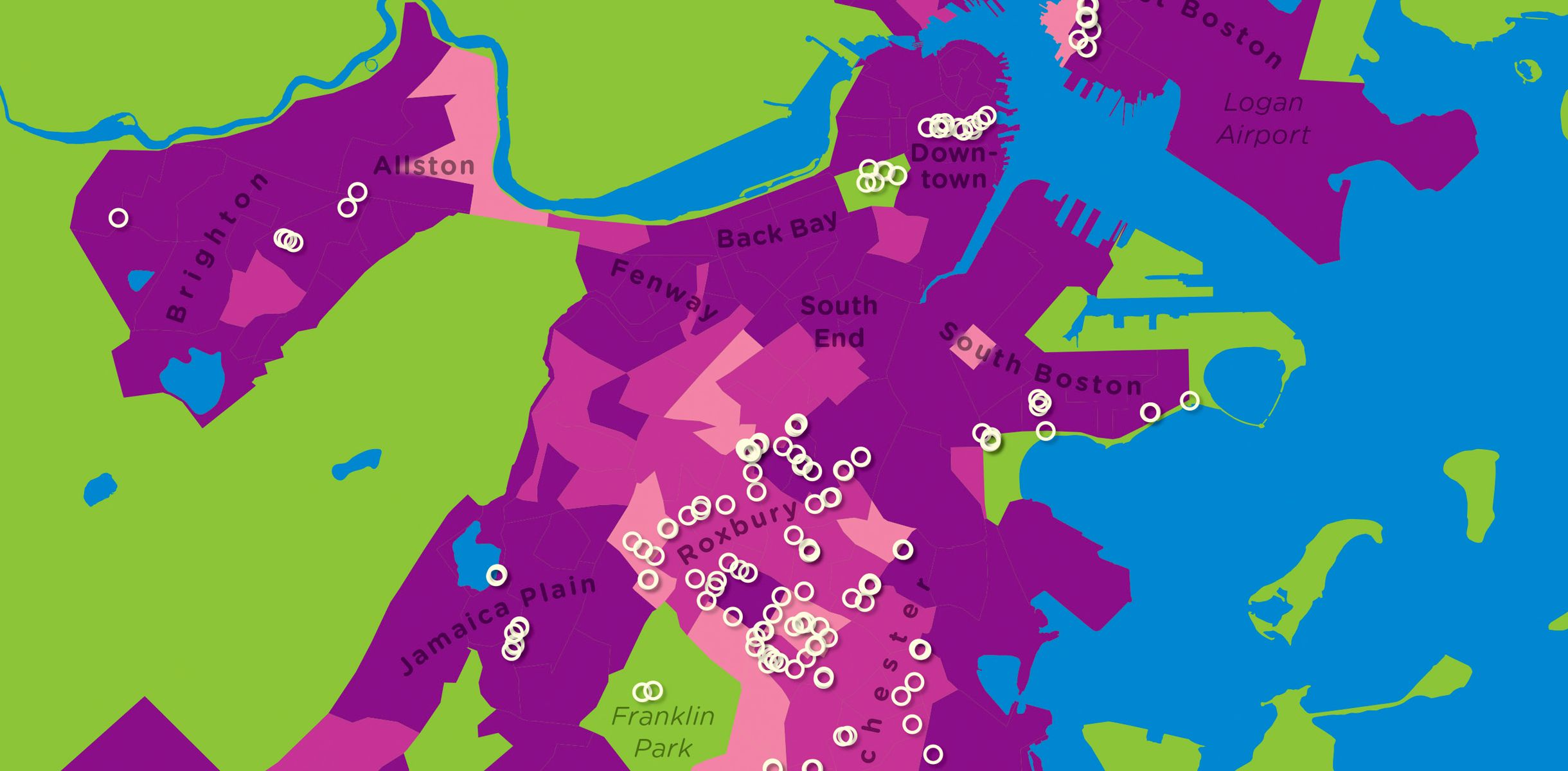
- October 26, 2021
- Michelle LeBlanc
Beyond the Map: Engaging Audiences with GIS at the Leventhal Map & Education Center
Leventhal Center staff recently published an article in the Journal of Map & Geography Libraries that highlights the Center’s geospatial data work, including use of our public data portal and our Maptivists initiative with Boston high schools.
Read more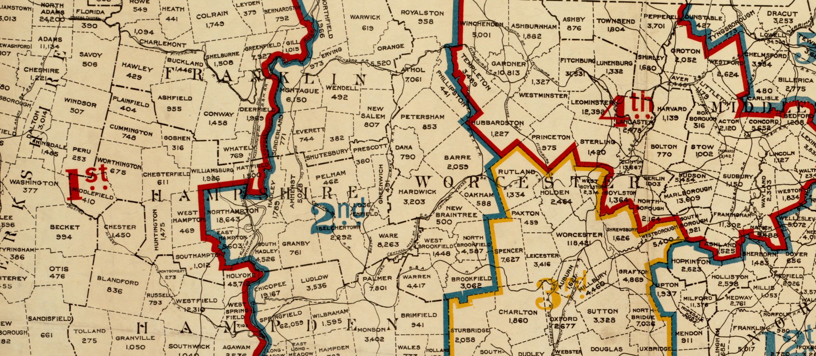
- August 6, 2021
- Garrett Dash Nelson
A map-less map of political geography in the US
Looking at red and blue America in a chart can sometimes be more helpful than seeing it on a conventional geographic map
Read more