- October 1, 2021
- Rachel Sharer
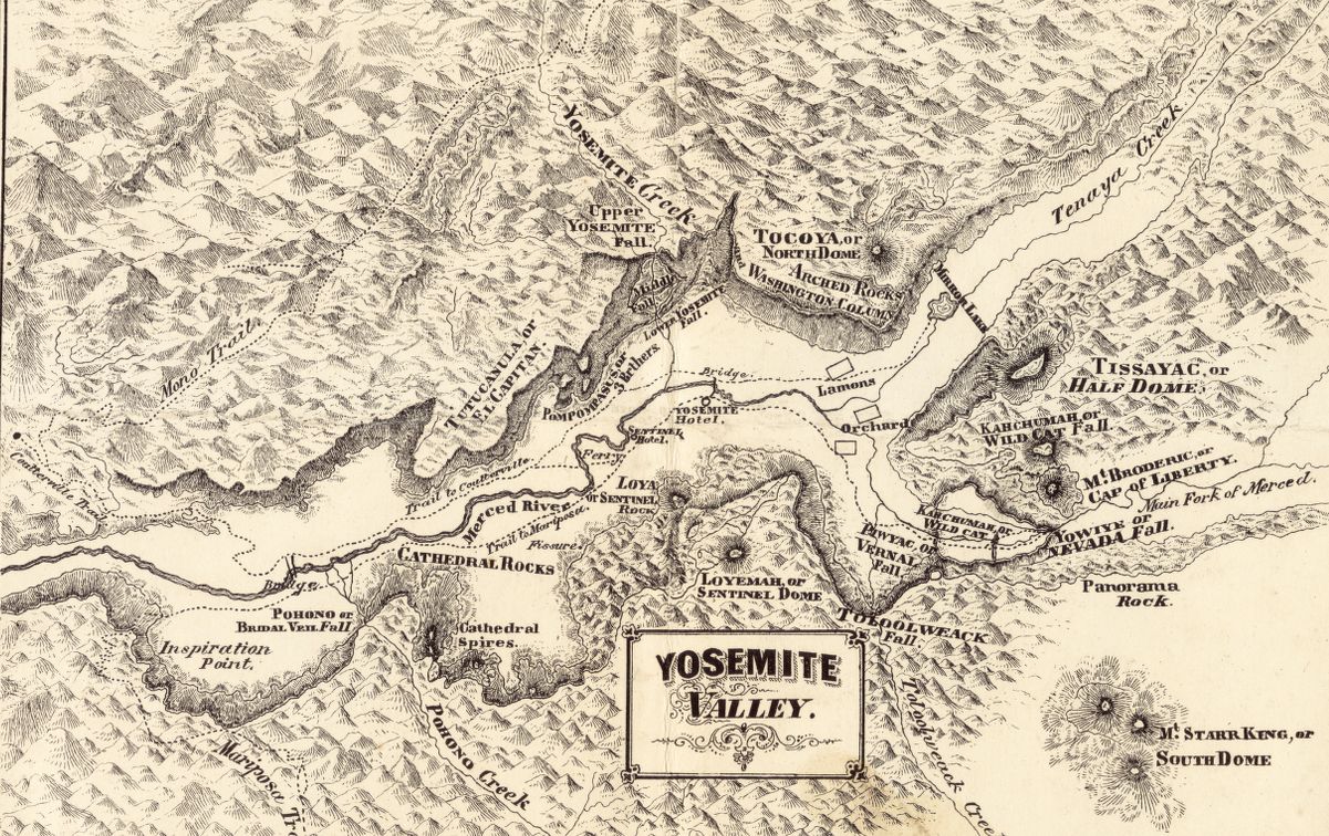
A Refuge from the Roar: Yosemite National Park
Examining the history and future of America's third national park on the anniversary of its founding
Read more Examining the history and future of America's third national park on the anniversary of its founding
Read more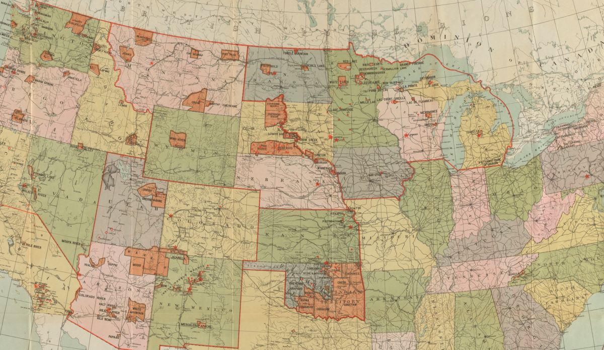
November is Indigenous People’s Heritage Month, a chance to unlearn entrenched narratives and relearn the complex history and modern presence of Native people across North America
Read more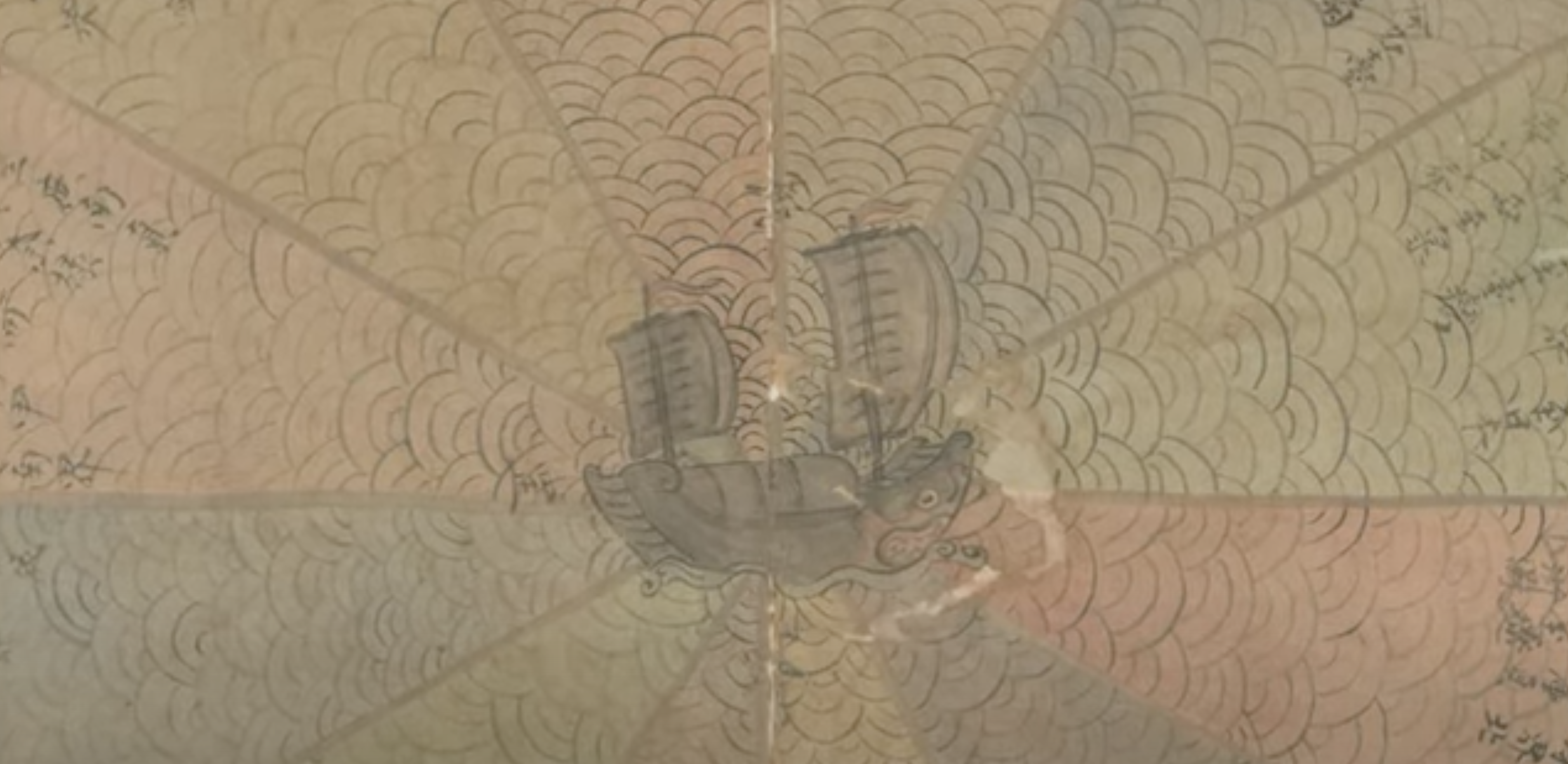
A video tour through an intriguing “pie chart” maritime diagram for a ship in the South China Sea
Read more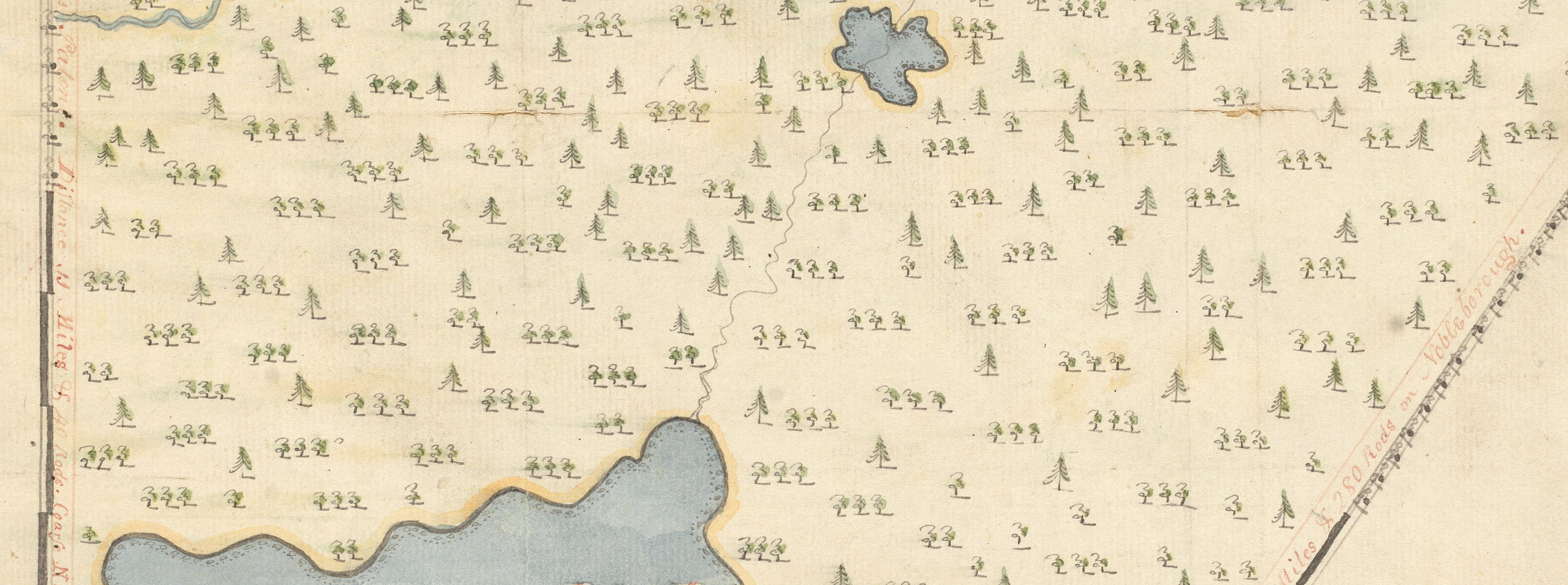
Two digital collections from the Massachusetts Archives capture the micro-scaled geographies of Massachusetts towns in the Early Republic period
Read more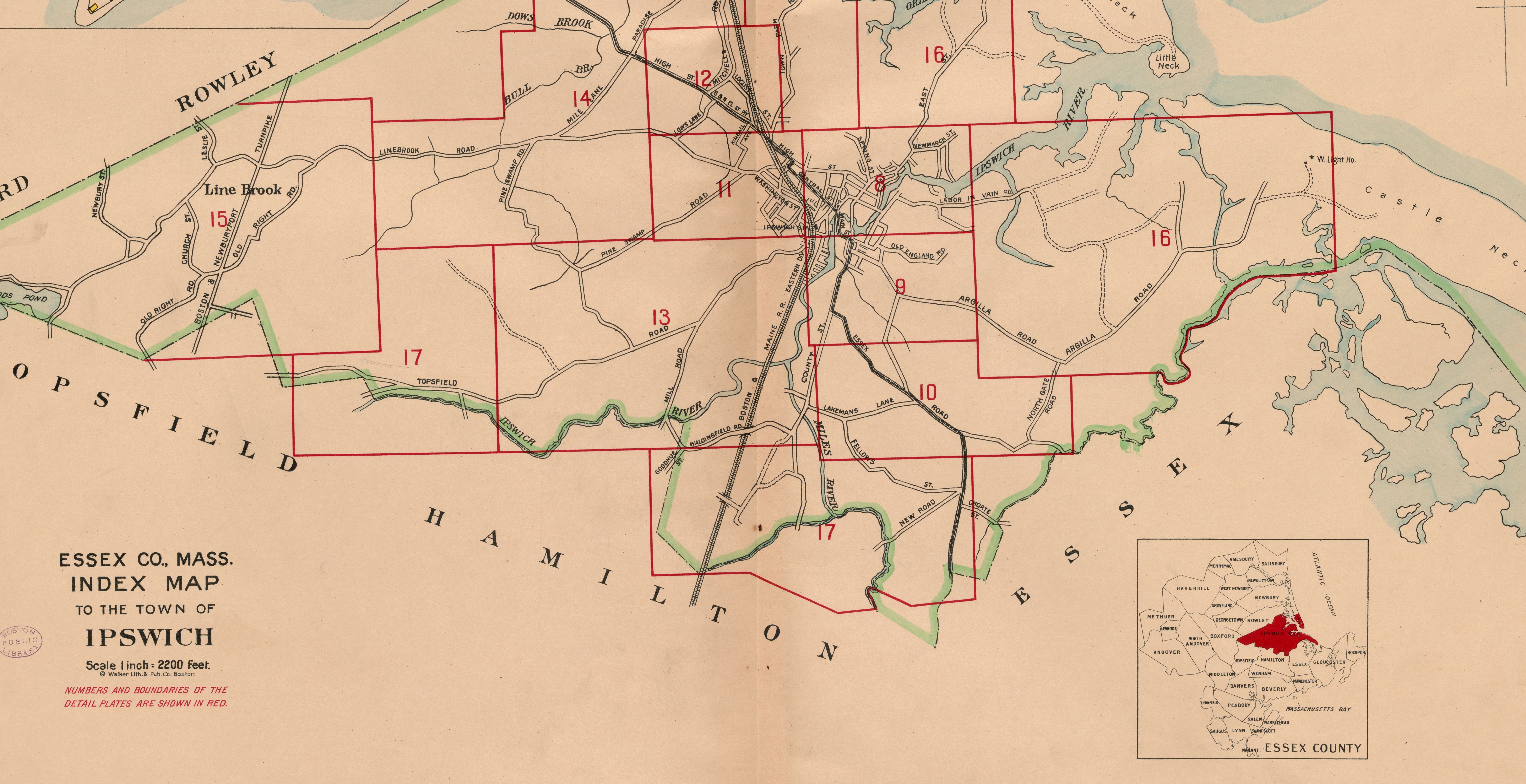
A behind the scenes look at the process of georeferencing
Read more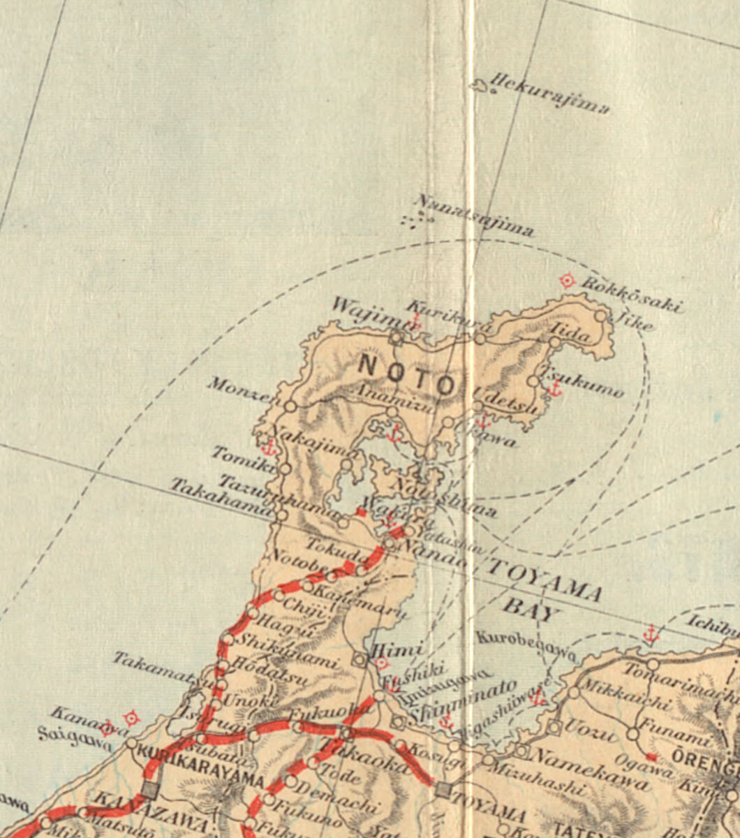
When a French captain sailed past Japan in the late eighteenth century, a guess about toponyms set off a century of cartographic confusions
Read more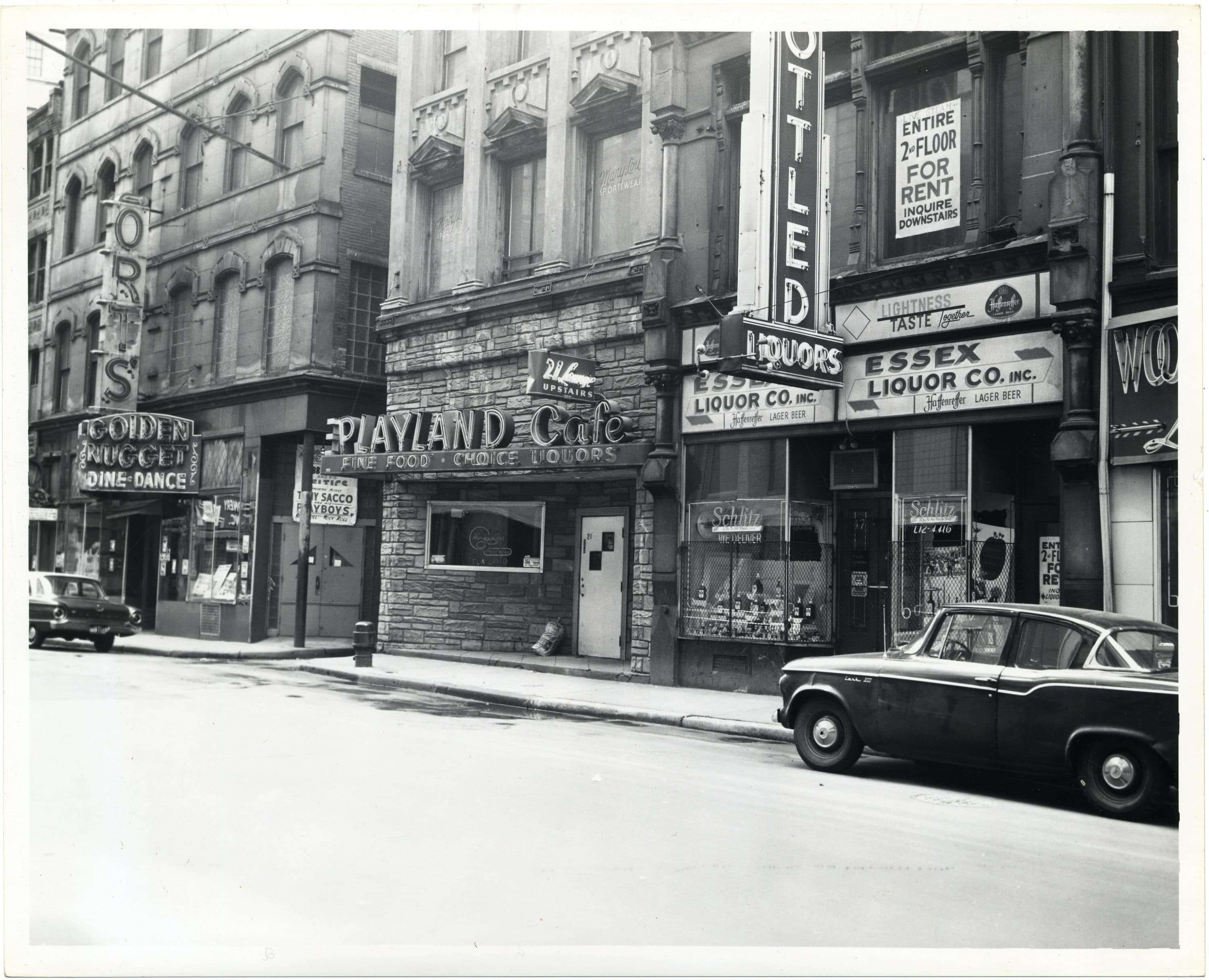
Through a network of safe spaces, the LGBTQ+ community of twentieth-century Boston forged connections and navigated adversity together. Exploring the timeline of these places and spaces reveals how a true sense of community can facilitate progress against all odds.
Read more
Check out these highlights from last week’s From The Vault: Hispanic Heritage Month
Read more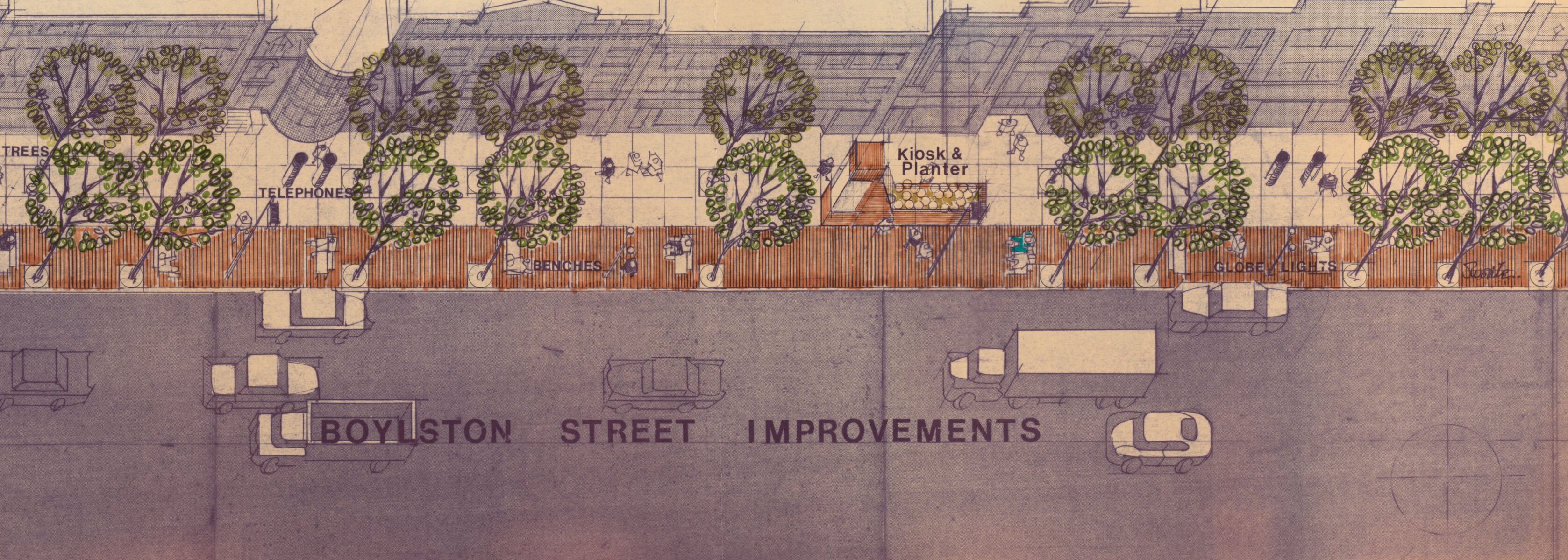
Discover how Boylston Street has changed over time with this selection of documents shown at our October 27 “From the Vault”
Read more
Check out these highlights from February’s From The Vault: African American History
Read more