Maps in the Field is a public history initiative that brings site-specific stories and geographic collections to the Greater Boston area. We offer free, flexible signs to businesses, institutions, and organizations. By featuring historic maps, the customized signs interpret the place-based histories of the locations in which they are installed. The signs connect everyday pedestrians, passersby, and patrons to the history of their neighborhoods and favorite places. Businesses and institutions that host signs give visitors a chance to engage with their location's past through an attractive and eye-catching display—and become part of a unique cultural project unfolding across the city.
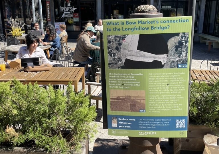
Bow Market
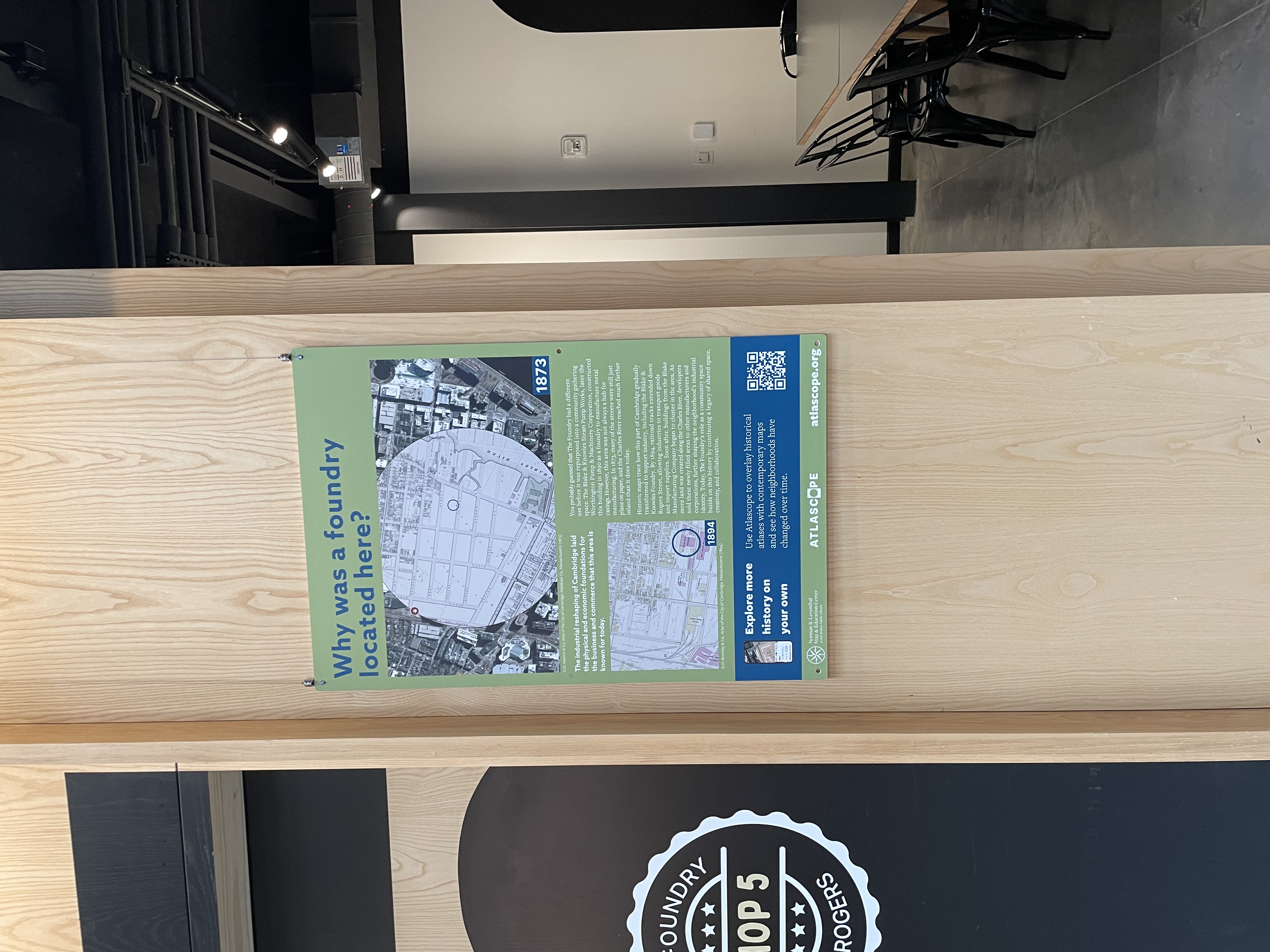
The Foundry in Cambridge
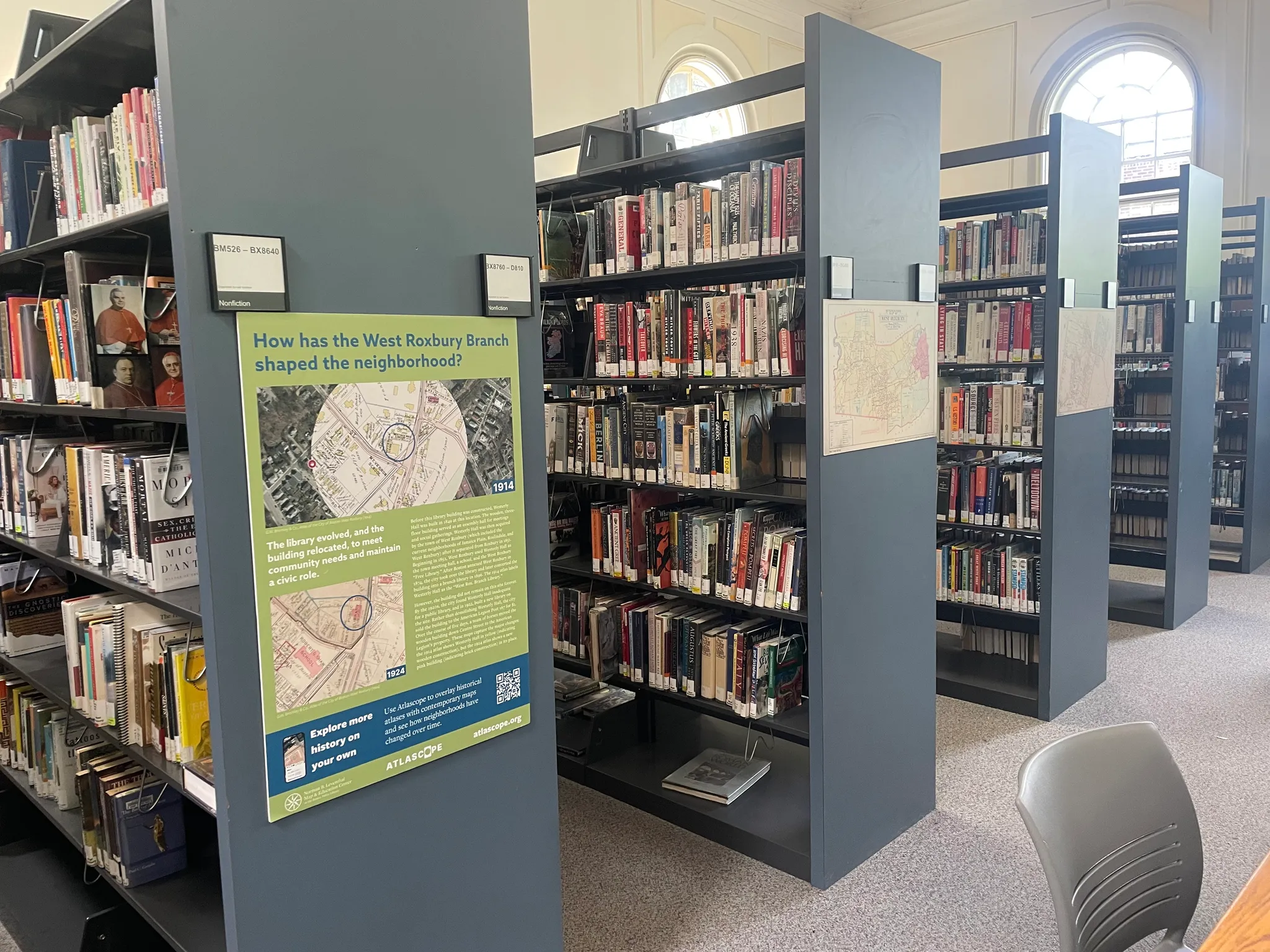
West Roxbury Branch of the Boston Public Library
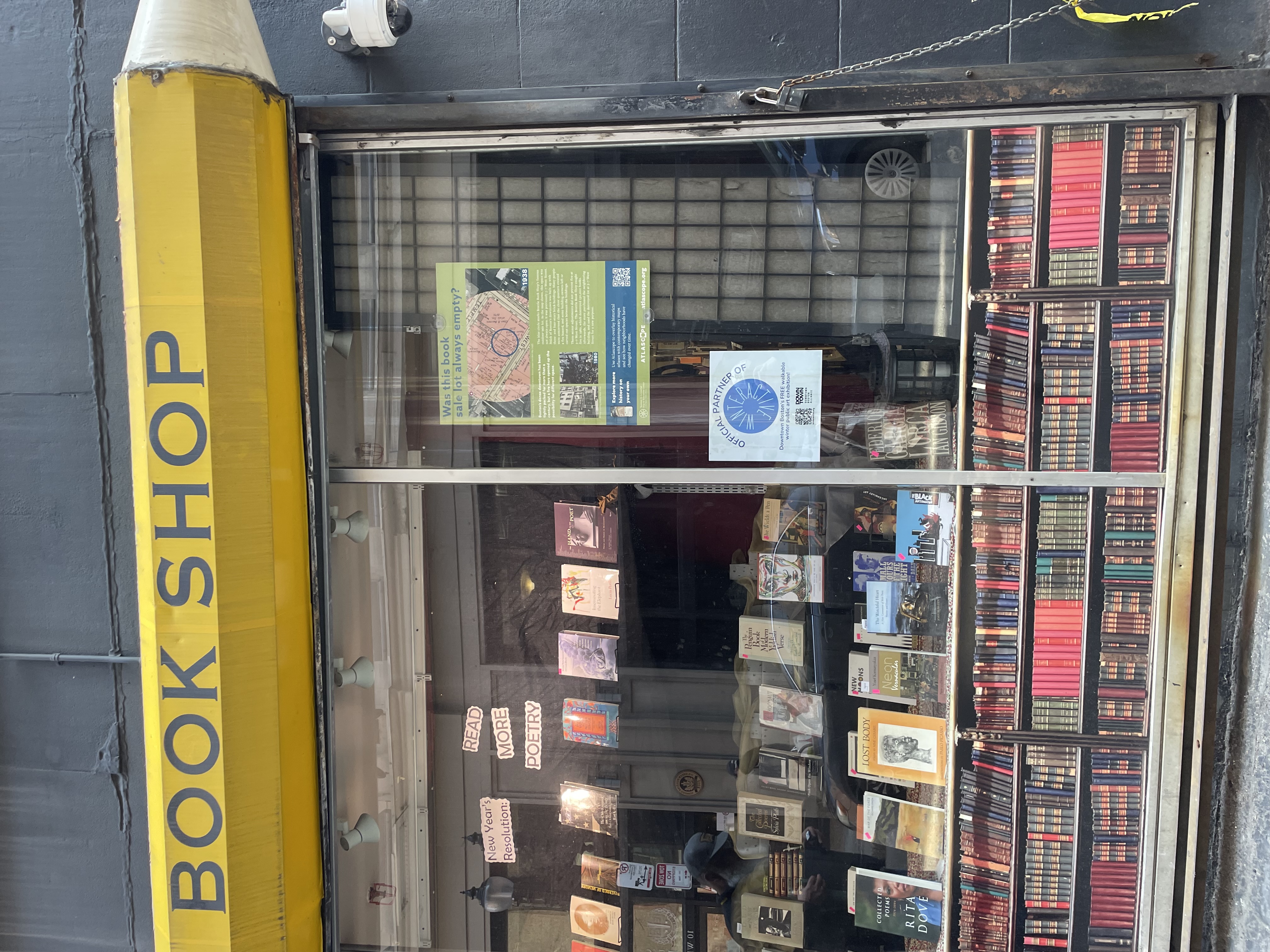
Brattle Book Shop
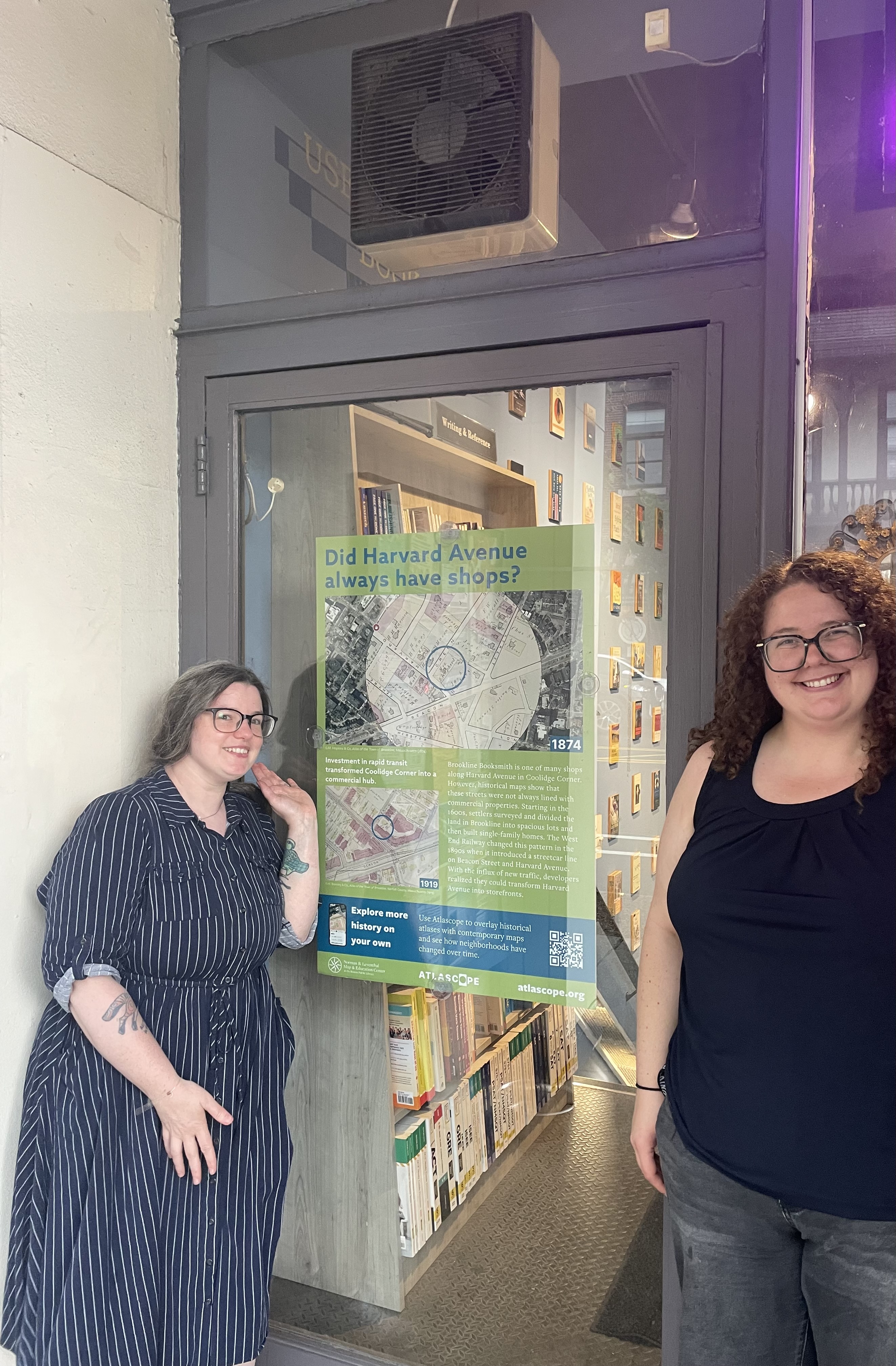
Brookline Booksmith
Every Maps in the Field sign includes a view of the location in Atlascope, a story about the site's past development and present geography, and a QR code that invites further exploration. Each sign is low-impact and designed to fit within the space available at each host location, and can be displayed temporarily or semi-permanently.
We're proud to announce that the following institutions now host Maps in the Field signs. You can find them on the map, and we encourage you to visit each site in person!
Host a Maps in the Field sign
Interested in becoming a Maps in the Field site? We'll visit your business or institution in person, determine the best size and format for the sign, research and interpret your site's history, compose the sign text, and print and deliver the finished sign — all at no cost to you.