Location
Lower Mills Branch Library
Date
Monday, Apr 10, 2023
Time
6:00 PM EDT
Cost
Free
<div style="position: relative; width: 100%; height: 0; padding-top: 56.2500%; padding-bottom: 0; box-shadow: 0 2px 8px 0 rgba(63,69,81,0.16); margin-top: 1.6em; margin-bottom: 0.9em; overflow: hidden; border-radius: 8px; will-change: transform;"> <iframe loading="lazy" style="position: absolute; width: 100%; height: 100%; top: 0; left: 0; border: none; padding: 0;margin: 0;" src="https://www.canva.com/design/DAFfDmSd7-8/view?embed" allowfullscreen="allowfullscreen" allow="fullscreen"> </iframe></div><a href="https://www.canva.com/design/DAFfDmSd7-8/view?utm_content=DAFfDmSd7-8&utm_campaign=designshare&utm_medium=embeds&utm_source=link" target="_blank" rel="noopener">Lower Mills By Map</a> by Emily Bowe
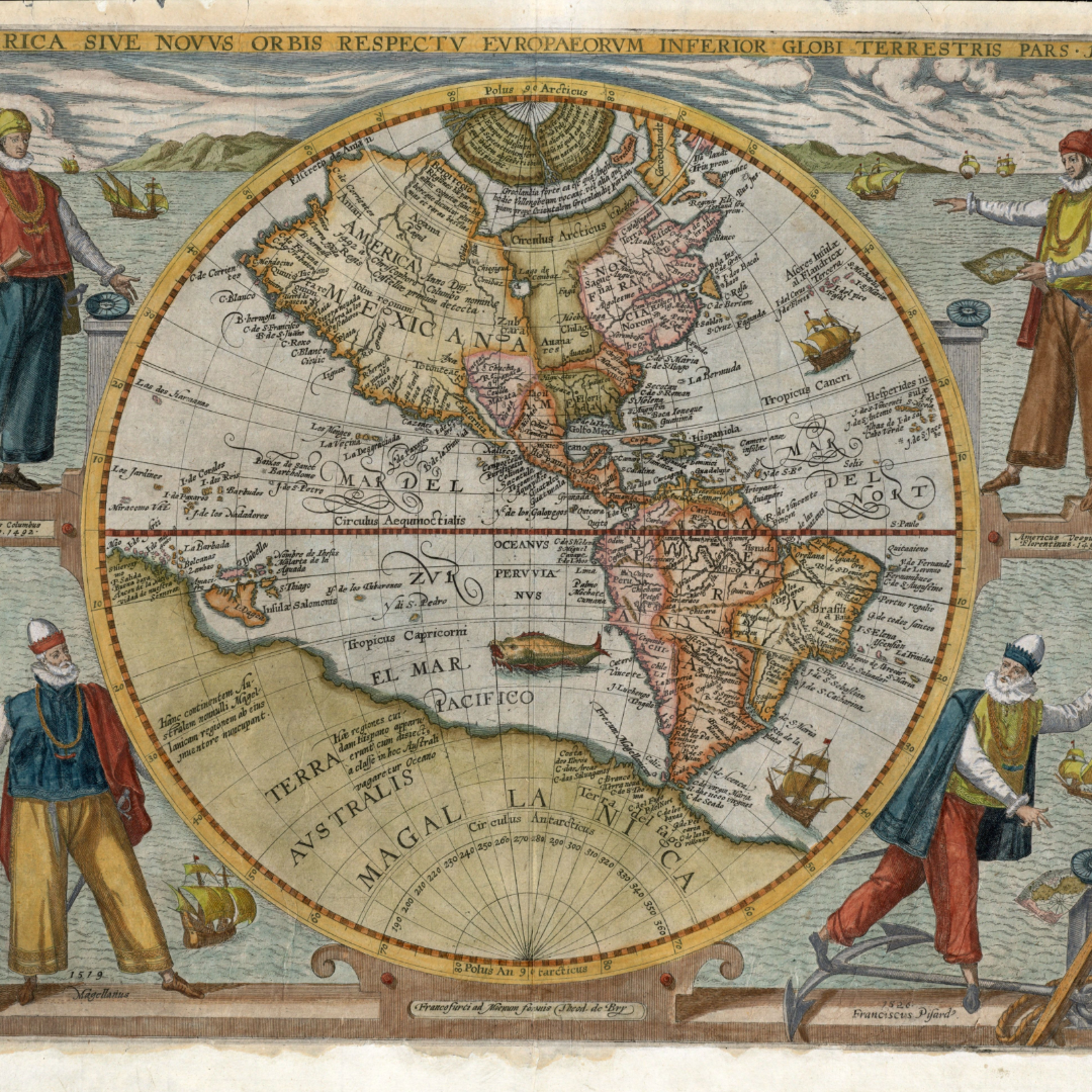
About this event
What was Lower Mills like in the 19th and 20th centuries? What schools and churches were around? Were any industries based in the area? Join the Leventhal Map & Education Center at the Lower Mills Branch Library for a deep dive into the historical geography of the area. Come learn about how the community has changed over time, and discover how to research the history of your own house and neighborhood.
Registration is not required. If you would like to receive event reminders, please register here on Eventbrite.