- January 28, 2021
- Garrett Dash Nelson and Lauren Chen
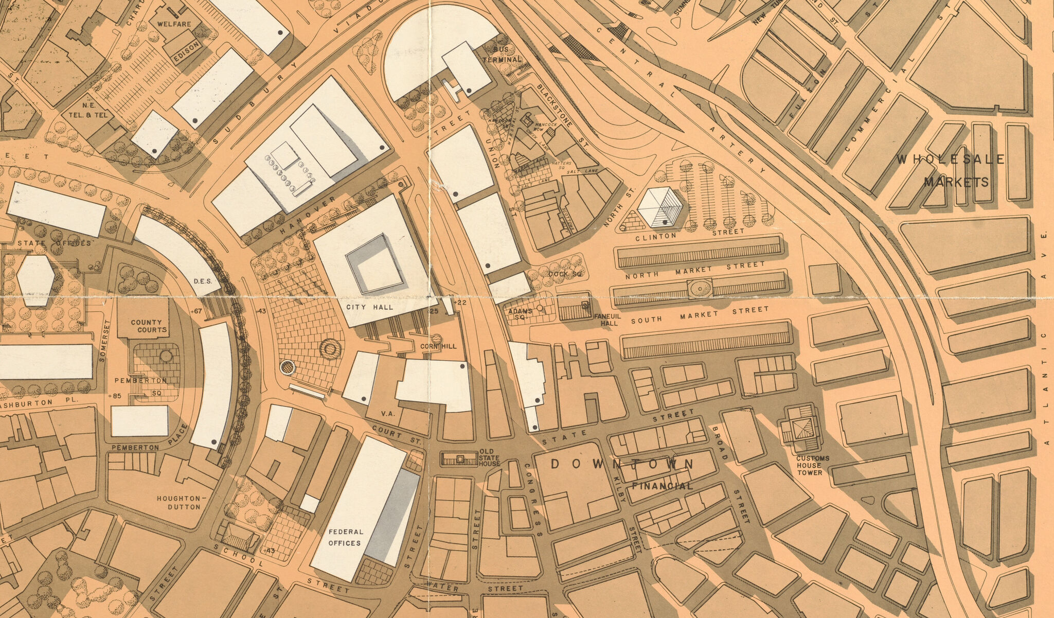
A new view into urban renewal in Boston
Announcing 124 newly-digitized objects from the Boston Redevelopment Authority Collection
Read more Announcing 124 newly-digitized objects from the Boston Redevelopment Authority Collection
Read more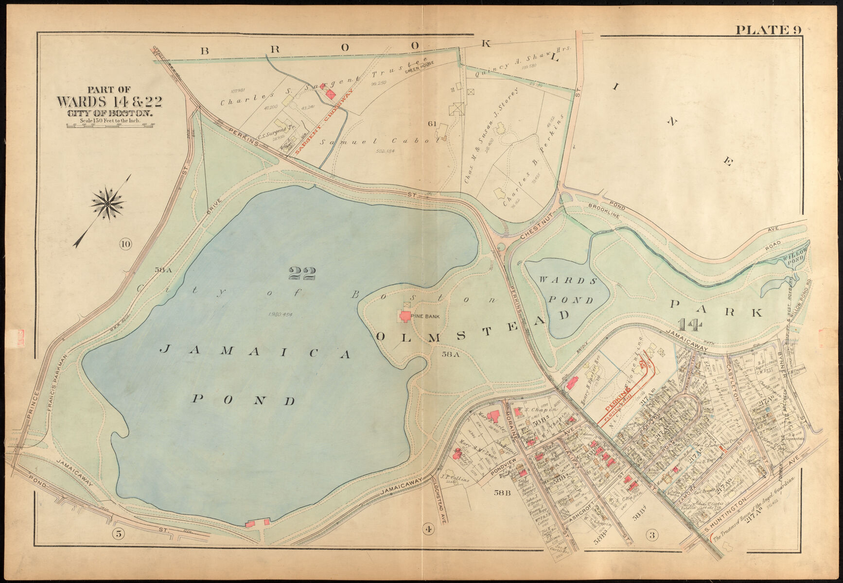
Revisit some of the places we visited in our Atlascope tour of Jamaica Plain
Read more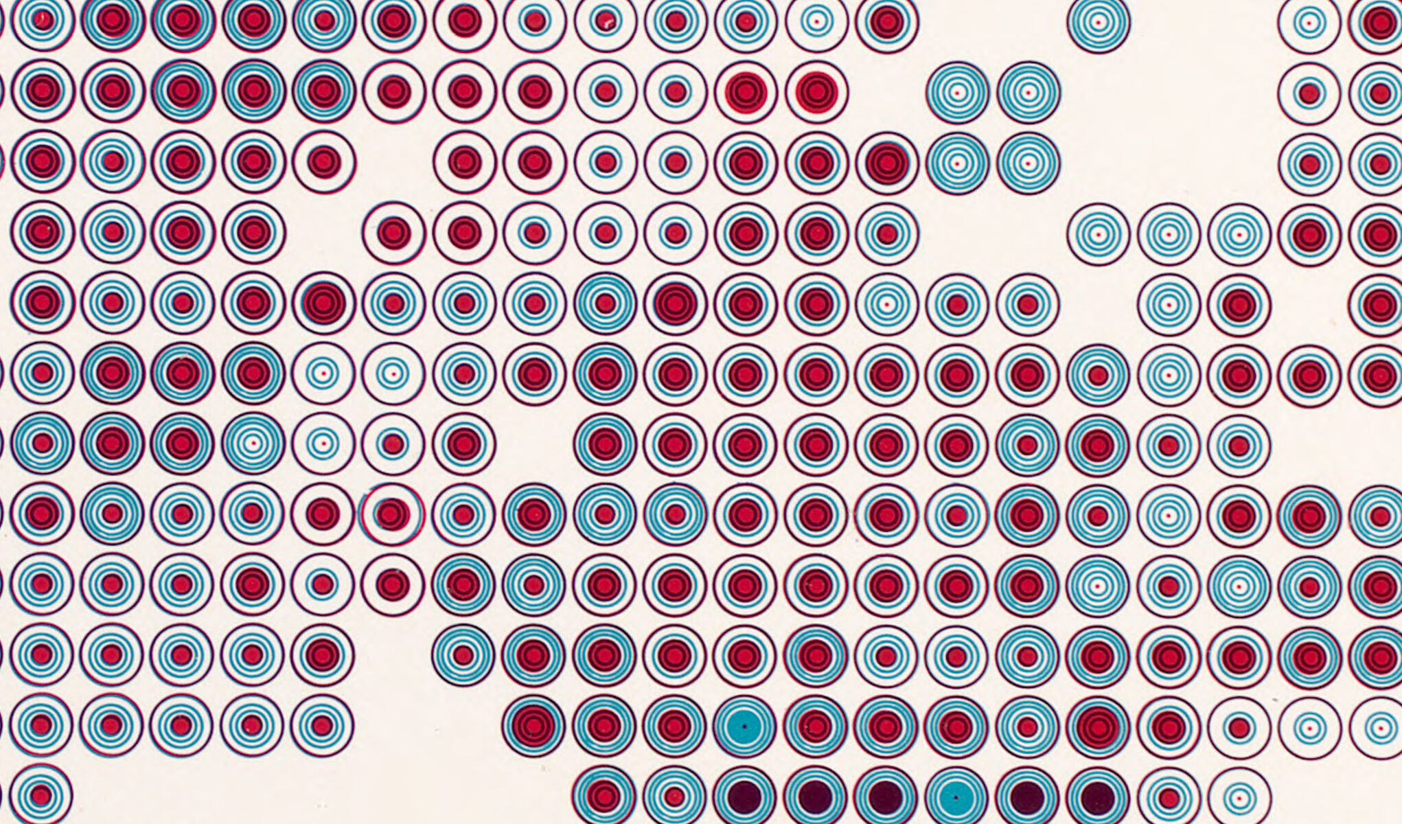
Our new exhibition is featured in the Cartographic Collections section of the NACIS journal
Read more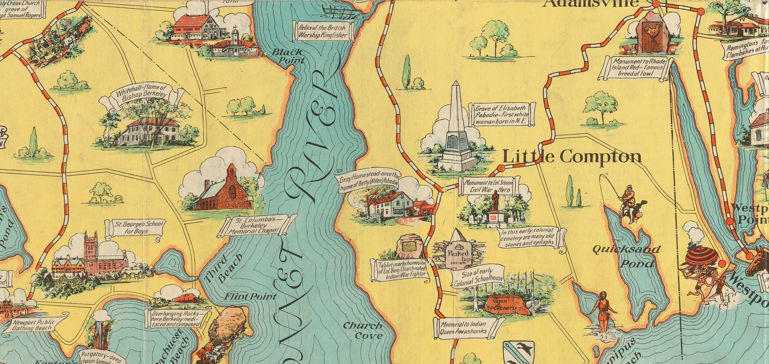
A Twitter bot trawling through our digital collections brings up questions
Read more
These maps from our collections, one for each 20s decade starting in 1520, helped us count down to New Years 2021
Read more
A Newsmap from December 1945 shows how cartographic projection promoted the U.S. view of itself as a global power
Read more
Over the past year, sometimes the news invited us into the past
Read more
The Leventhal Map & Education Center is breaking new ground in bringing geospatial data empowerment to the public, supported by a grant from the Northeast Big Data Innovation Hub
Read more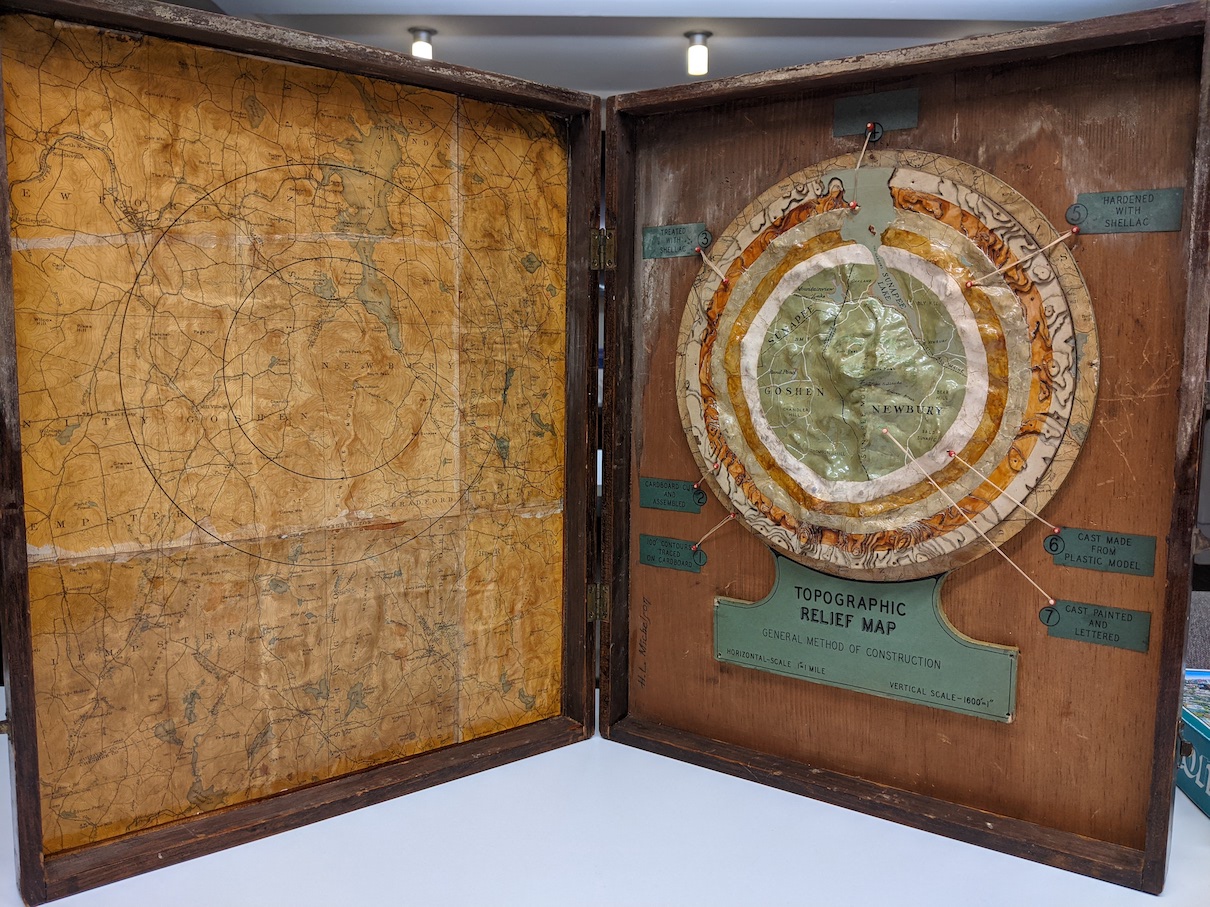
How to make a relief map in the era before 3D printing
Read more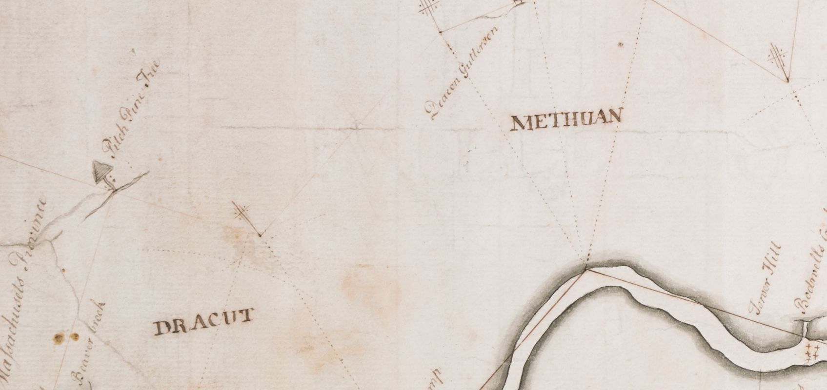
Why the line between Massachusetts and New Hampshire pivots around a pine tree
Read more