Old maps, new methods
With help from the BPL Digital Repository Services, we’re rolling out new features in our digital collections portal for viewing and georeferencing scanned maps.
Our digital collections portal boasts over 11,000 scanned maps dating from 1482 to the present. The vast majority of these are not georeferenced, which means they do not yet contain the necessary spatial data that makes it possible to overlay scanned maps on real-world geographies.
 homepage.](https://allmaps.org/allmaps-open-graph.jpg)
The Allmaps homepage
Maybe you want to locate the modern address of a building from the 18th century, or maybe you’re analyzing Boston’s changing shoreline. Thanks to Allmaps—a free, open-source georeferencing software that lets users create and share georeferenced maps entirely in a web browser—you can now answer important research questions and breathe new life into these historic maps more easily than ever. Together with the American Geographical Soceity Library, we’re helping to build out Allmaps with the support of the National Endowment for the Humanities.
In addition to offering an easy-to-learn interface for creating and viewing georeferenced maps, Allmaps provides exciting features, like removing the background on georeferenced maps, that can provide novel insights into how places have changed over time.
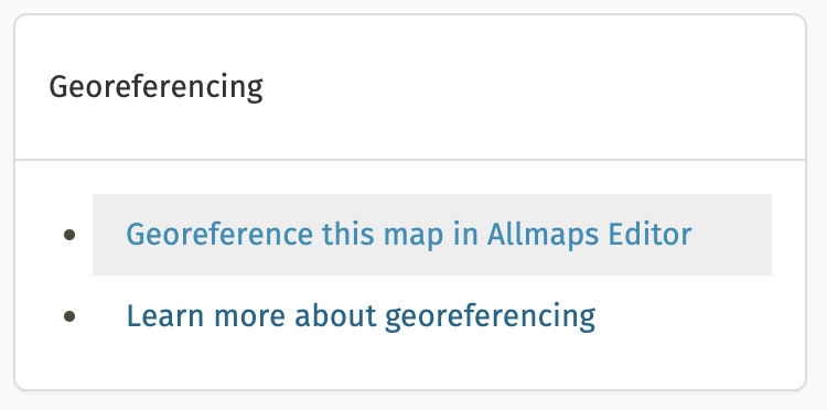
Do you have ideas for new ways to use old maps? Are you ready to dive into georeferencing in LMEC collections? We’ve incorporated Allmaps directly into our digital collections portal, so to get started, simply pick a map and look for the button to “Georeference this map in Allmaps Editor”:
The panel that dispalys georeferencing tools
We’ve written a quick introduction to getting started with georeferencing, but don’t hesitate to reach out to us if you have questions. Happy georeferencing!
Want to learn more about Allmaps, and even implement it within your institution’s digital map collections? Reach out to Ian Spangler.
Our articles are always free
You’ll never hit a paywall or be asked to subscribe to read our free articles. No matter who you are, our articles are free to read—in class, at home, on the train, or wherever you like. In fact, you can even reuse them under a Creative Commons CC BY-ND 2.0 license.