- June 29, 2021
- Rachel Mead
The geography of an incomplete freedom
July 4th is a day we celebrate “freedom” in the US. Whose freedom are we celebrating? How has that changed over more than two centuries?
Read moreJuly 4th is a day we celebrate “freedom” in the US. Whose freedom are we celebrating? How has that changed over more than two centuries?
Read more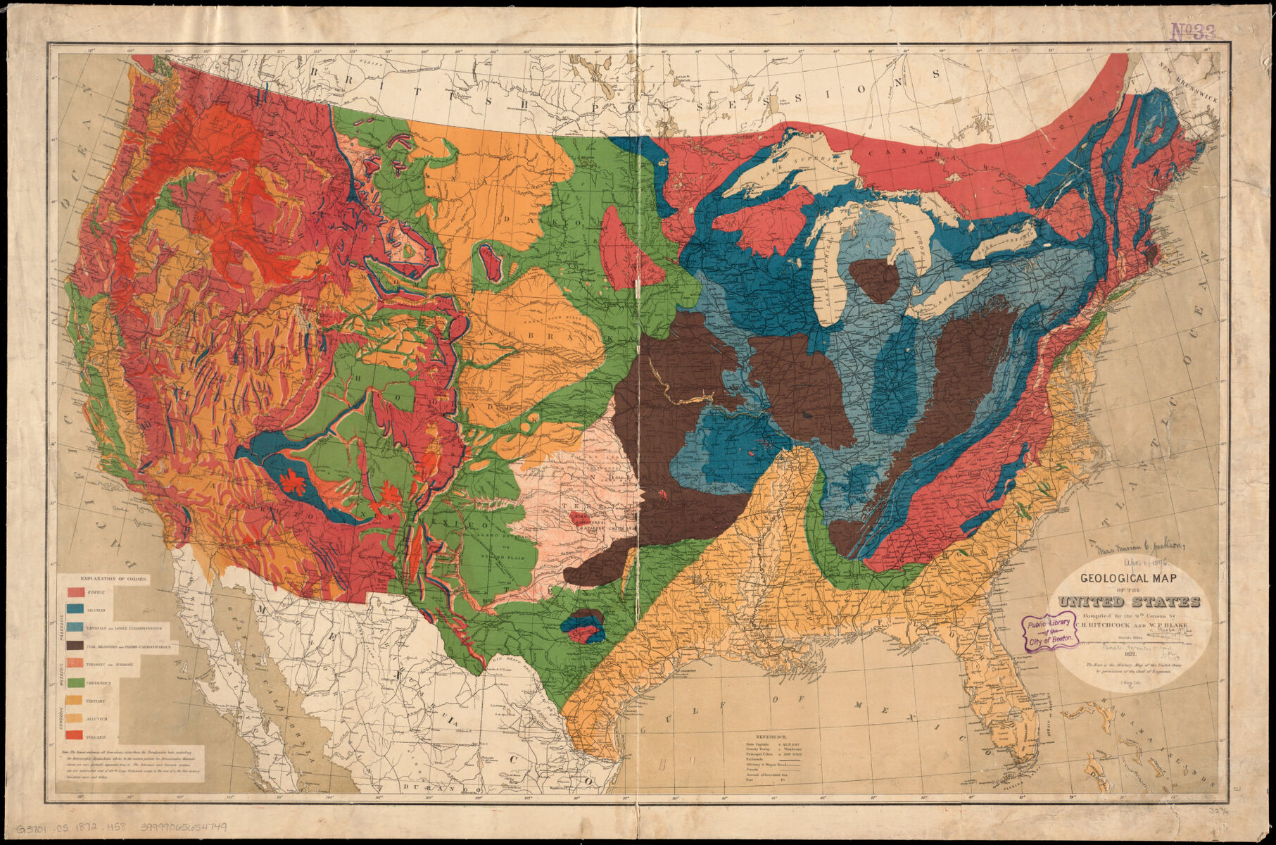
Taking a look at the rainbows of our collection
Read more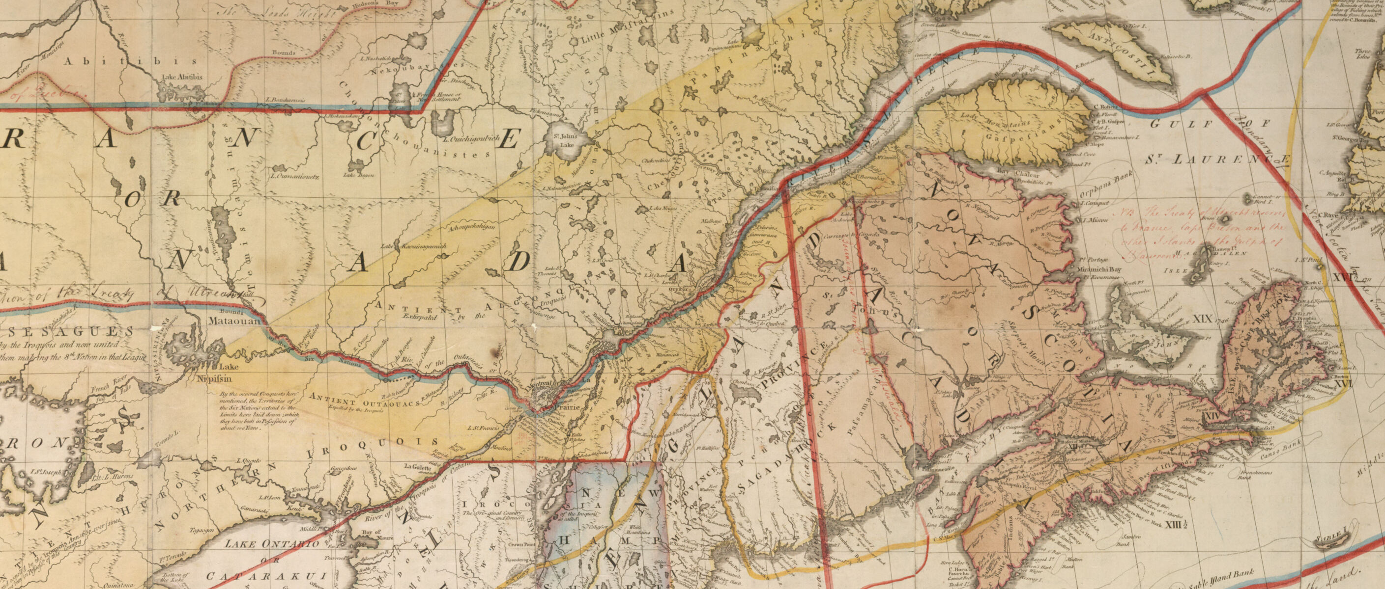
Our new postdoctoral fellow joins the ARGO team and tells us a bit about how maps have shaped her perspective as a historian
Read more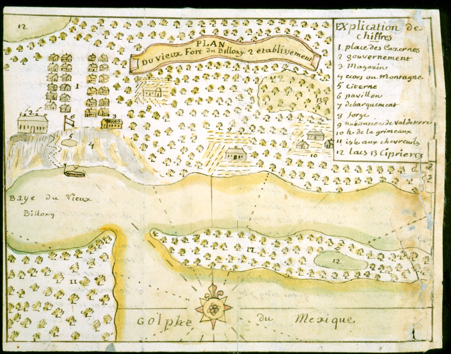
An exploration of one cartographer’s work mapping French colonial sites in Louisiana
Read more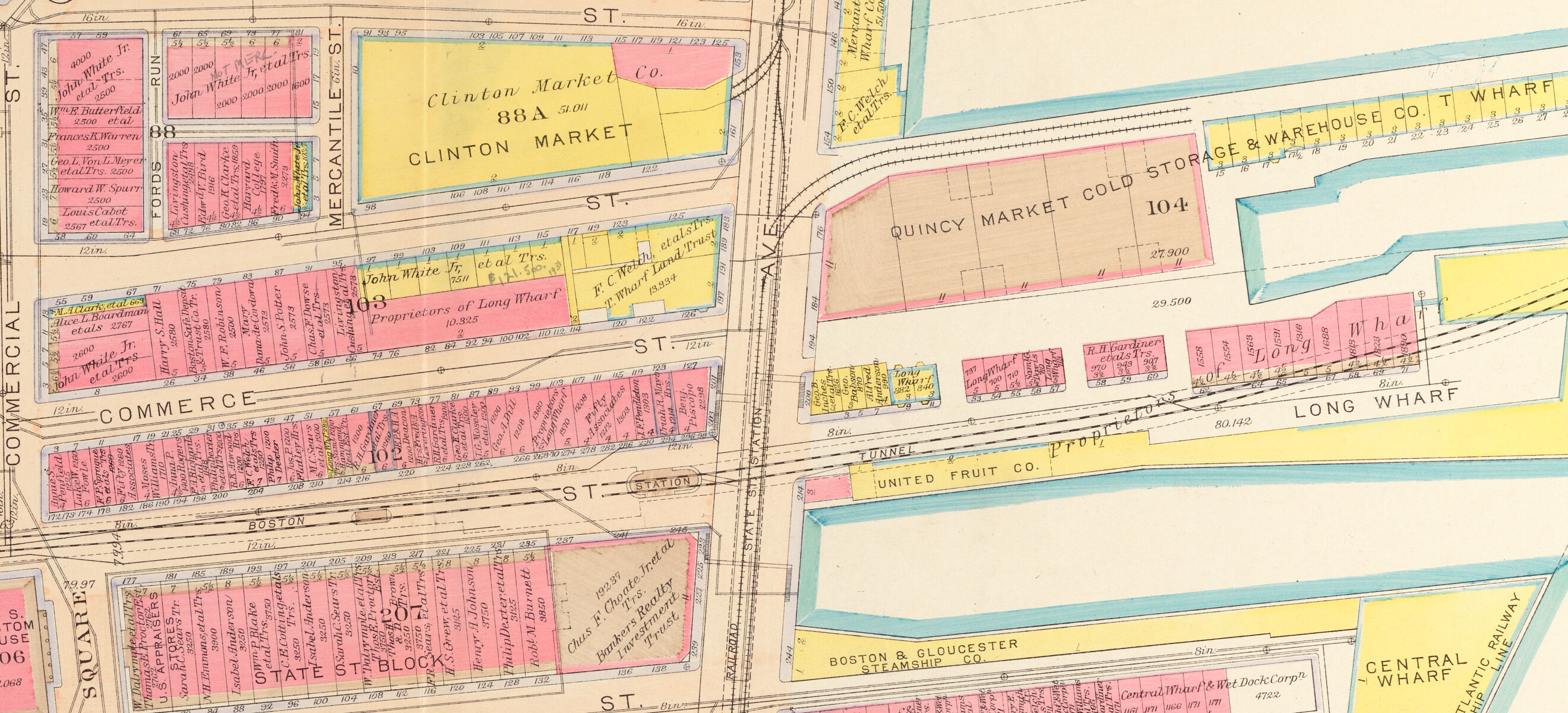
Undergraduates at the College of the Holy Cross used Atlascope to research the buildings and landscapes of Boston that were destroyed by the Central Artery
Read more
High school students working with our educators explored the question of how racial ideas become spatial practice in Boston
Read more
A new grant-funded project in collaboration with faculty and students at MIT will support the development of tools to teach critical geospatial data at the pK-12 level
Read more
Let’s cool down with some maps from Junes of the past from our collections
Read more
Featuring a few of the creatures from the depths of our collections
Read more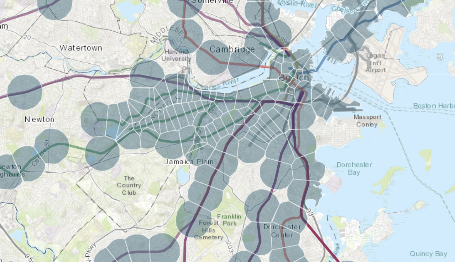
We spoke with the Massachusetts Housing Partnership about public access to housing data
Read more