In case you’ve missed it, we’ve been publishing Teaching With Maps resources on our social media feeds weekly for a while now! These are largely modern resources using GIS, today’s mapping software, and data that feel relevant to students in school now. But teaching spatially is nothing new for educators. Here are a few maps in our collections that highlight the history of teaching using geography.
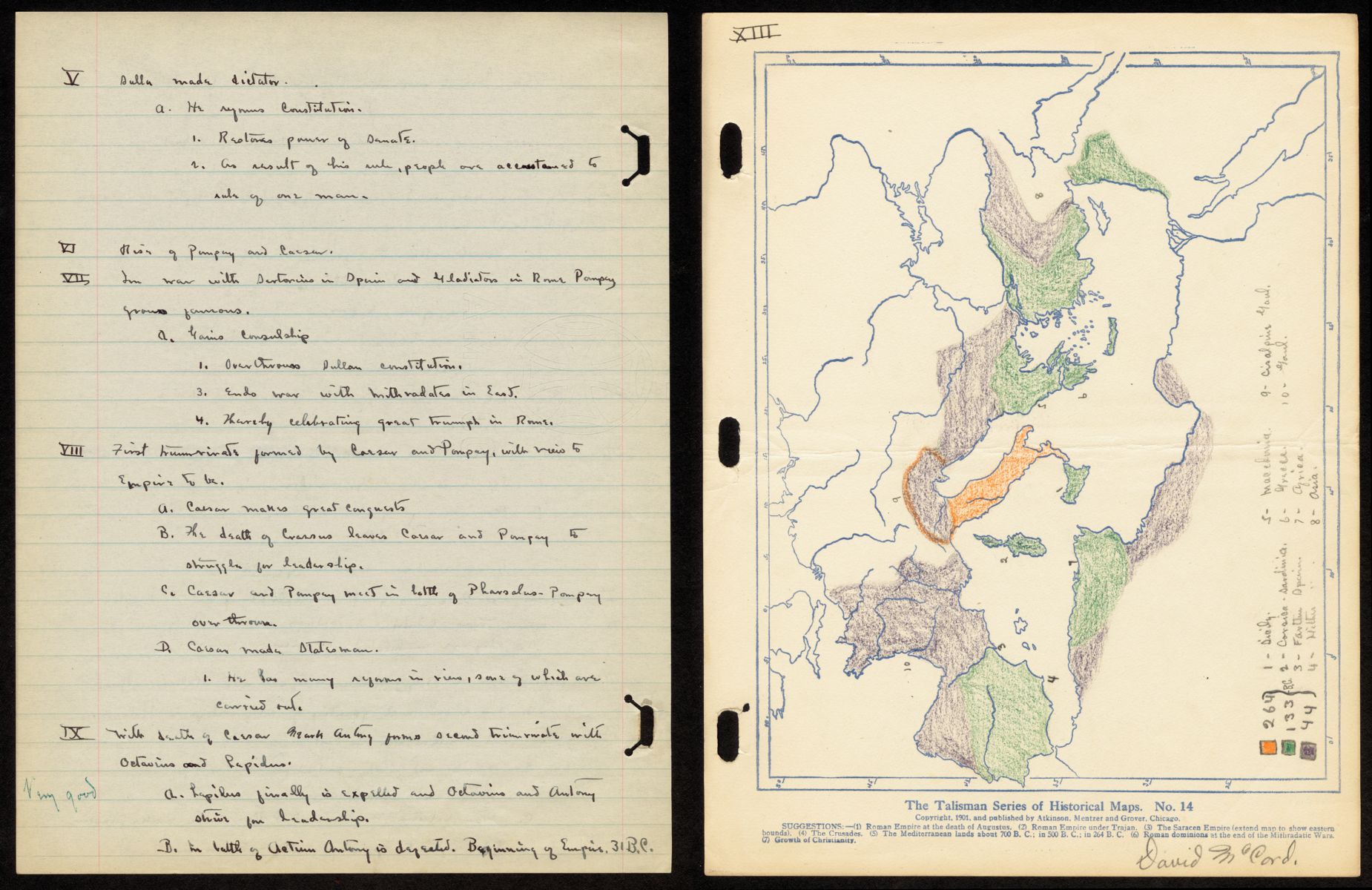
This is a student’s map of the Holy Roman Empire, drawn in 1914. David McCord was a high school student at Lincoln High School, learning about history through a geographic lens. Progressive 19th century educators were interested in this kind of interdisciplinary and visual thinking style. Emma Willard is a good example of one of these educators who was especially focused on teaching women subjects like math and philosophy, which had traditionally been left out of women’s educational repertoire.
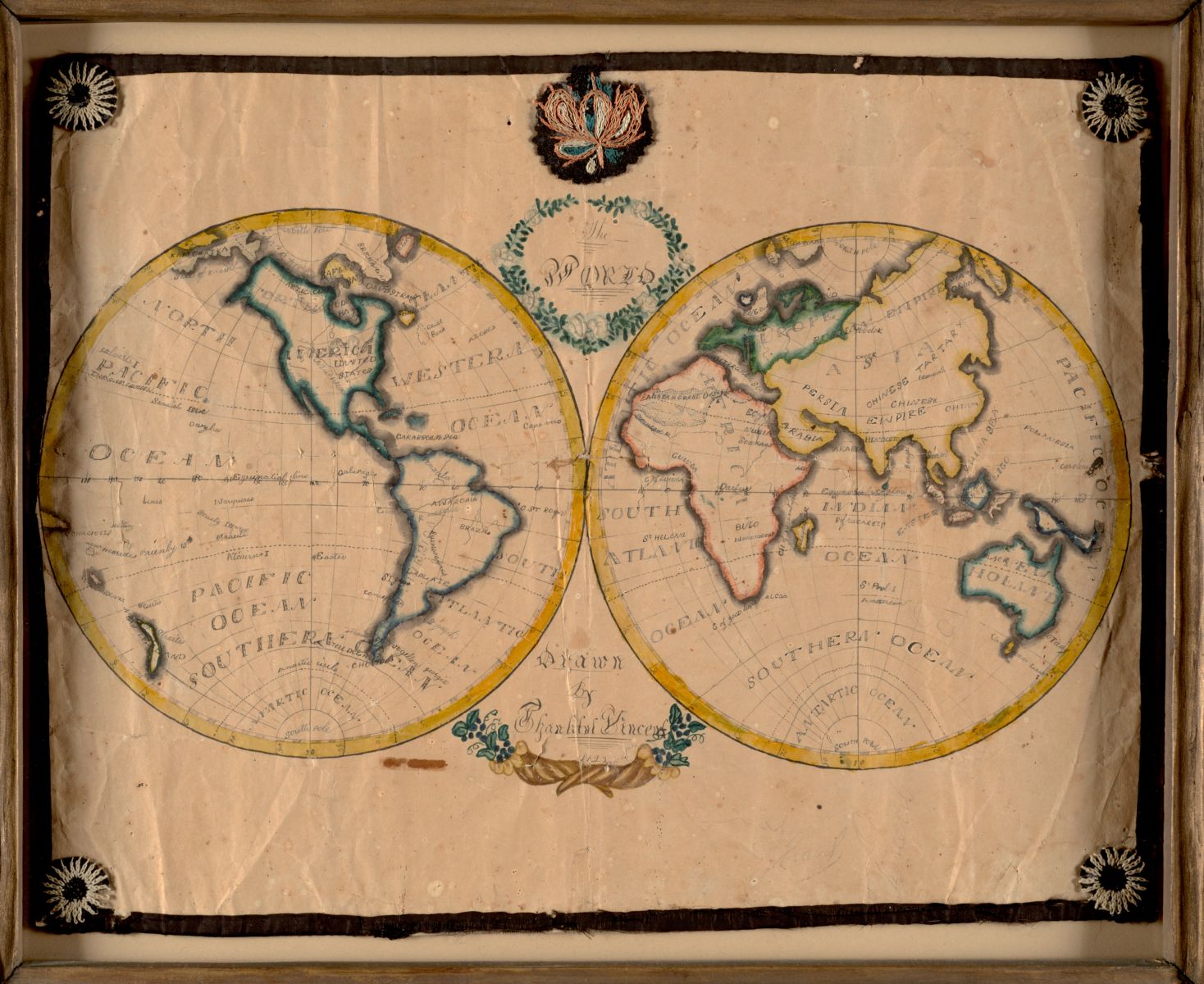
Maps can be used to teach a variety of subjects, because geospatial data can map any phenomenon over a geography! Our collections are full of early examples of student maps, including this beautiful student-made map from 1823, almost 100 years before McCord’s map. Thankful Vincent drew and embroidered this map, showing off her design skills, sewing skills, and geographic knowledge. Mapping can be both an art and a science, as Vincent capably shows.
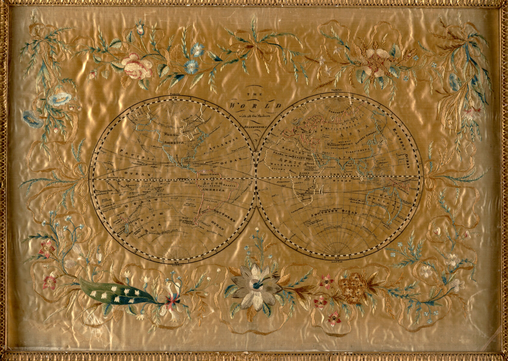
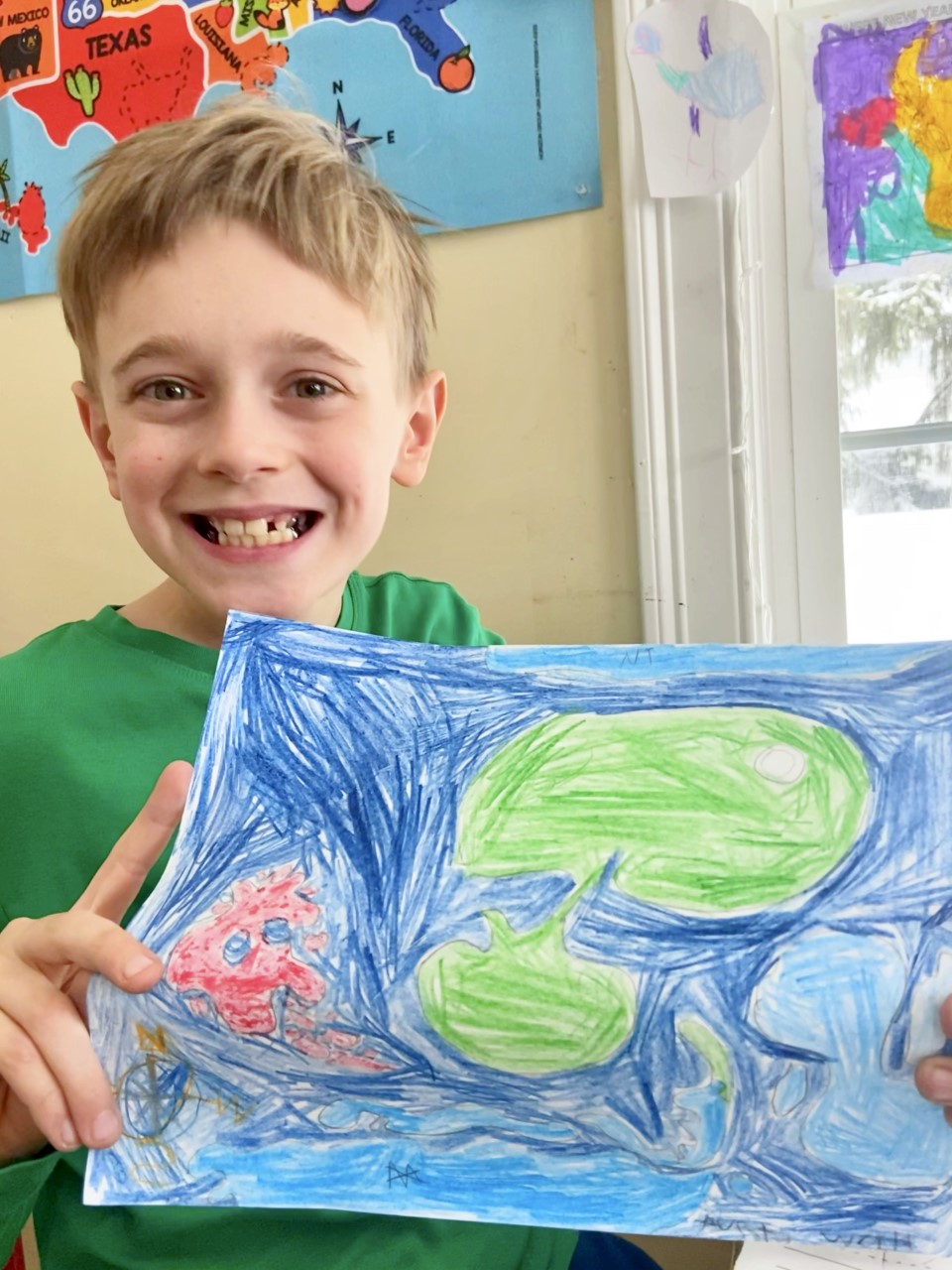
For wealthy young women who had access to expensive materials, these embroidered maps could get quite elaborate, like this satin map from circa 1900. We make maps with students all the time without silk and satin! In February during school vacation week, we did a mapping project online with some great participants including Liam, shown below with his map.
We have a few suggestions for map-based activities for April vacation week! One is to explore your neighborhood with Atlascope, our historic atlas mapping tool. We also have a park scavenger hunt you might like to do to explore Boston’s green spaces with your family. If there are any rainy days, check out our Mapping HappyLand activity and make your own maps! If you have any questions or you need more mappy things to do, drop us a line anytime at info@leventhalmap.org.
Our articles are always free
You’ll never hit a paywall or be asked to subscribe to read our free articles. No matter who you are, our articles are free to read—in class, at home, on the train, or wherever you like. In fact, you can even reuse them under a Creative Commons CC BY-ND 2.0 license.