When we’re in the library in person, there are few activities as rewarding as peering at a map spread out on a table with a group of students, researchers, or visitors, talking about what we can see and inviting everyone to look closely while we explore historical geography.
Hopefully within the next several months, we’ll be back to seeing maps in this way. But luckily for us, we have an incredible collection of digitized materials—which makes it possible to experiment with research, narration, and interpretation framed through the window of a web browser rather than framed by a table in the reading room.
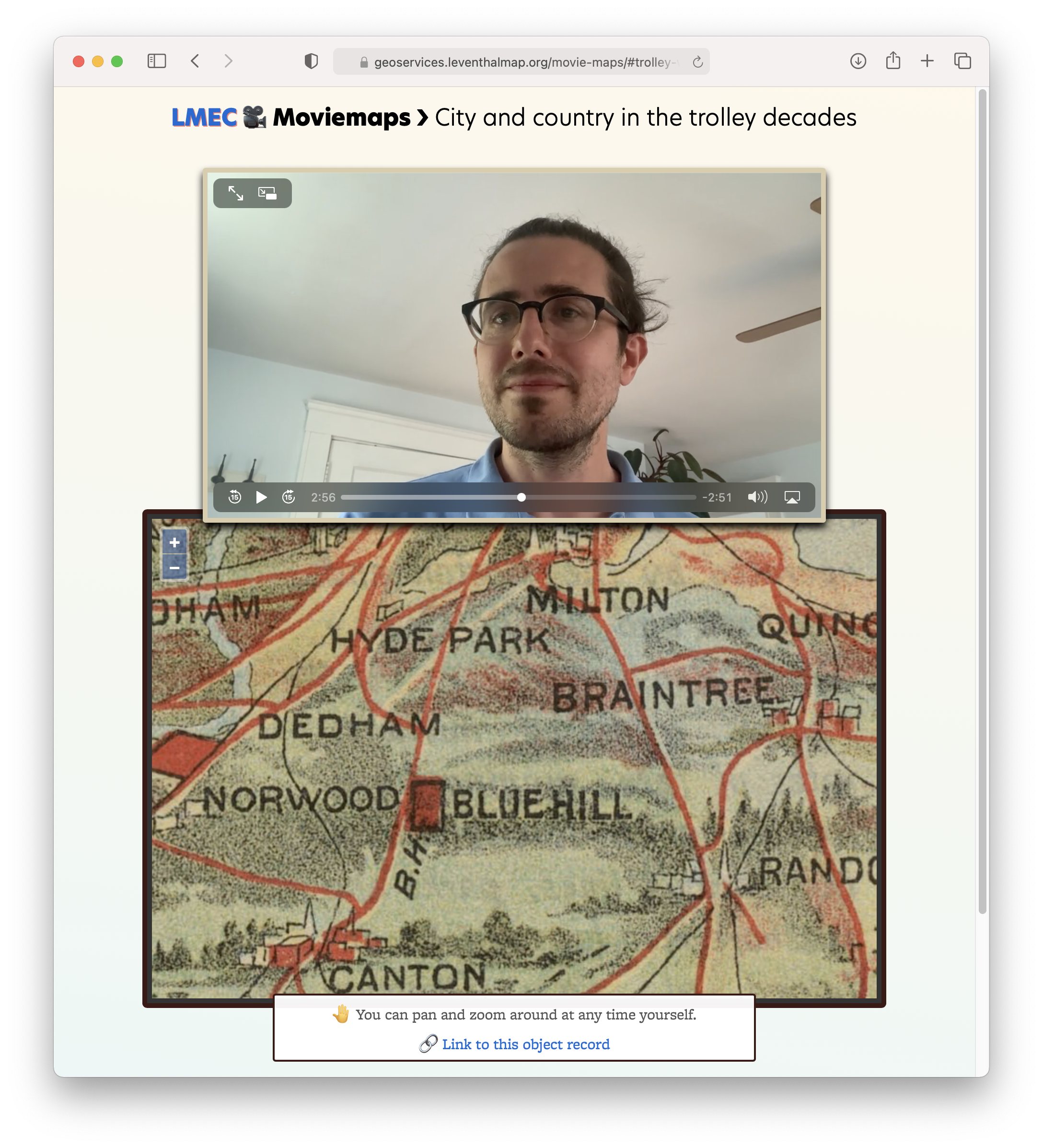
The latest tool that we’ve built for exploring our collections online is called “Moviemaps.” It’s built to solve a challenge: how can we narrate observations about a digitized map while still giving the viewer freedom to control and explore the view themselves? Embedding an image of a map into a video itself can be interesting, but it lacks depth; often the resolution is too low to see the map’s detail, and of course the viewer can’t change what’s in view.

With Moviemaps, we pair a video discussion with digital collections objects that zoom and pan while synchronized with the video. But in Moviemaps, the viewer can also explore on their own, dragging the map around or pausing the video to get deeper into a different part of the map.
As a first trial of this new interface, I’ve put together a five-minute video exploring one of my absolute favorite newly-digitized maps, a 1905 trolley wayfinder. In the video, I talk about how this map gives us a view into the social and infrastructural landscape of Greater Boston in the early twentieth century, when street railways provided the meshwork for a regional system of transit, parks, and communities that were now merging into one another.
Watch the video and explore the accompanying maps yourself. When you’re done, let us know what maps you want to see us discuss next: tag us @bplmaps or send us a message.
Our articles are always free
You’ll never hit a paywall or be asked to subscribe to read our free articles. No matter who you are, our articles are free to read—in class, at home, on the train, or wherever you like. In fact, you can even reuse them under a Creative Commons CC BY-ND 2.0 license.