On September 15, we hosted From The Vault: Global Transit! From The Vault is a biweekly event series showing collections objects selected by Leventhal Center staff. For this edition of the series, we looked at objects from our collections that map transit systems around the world.
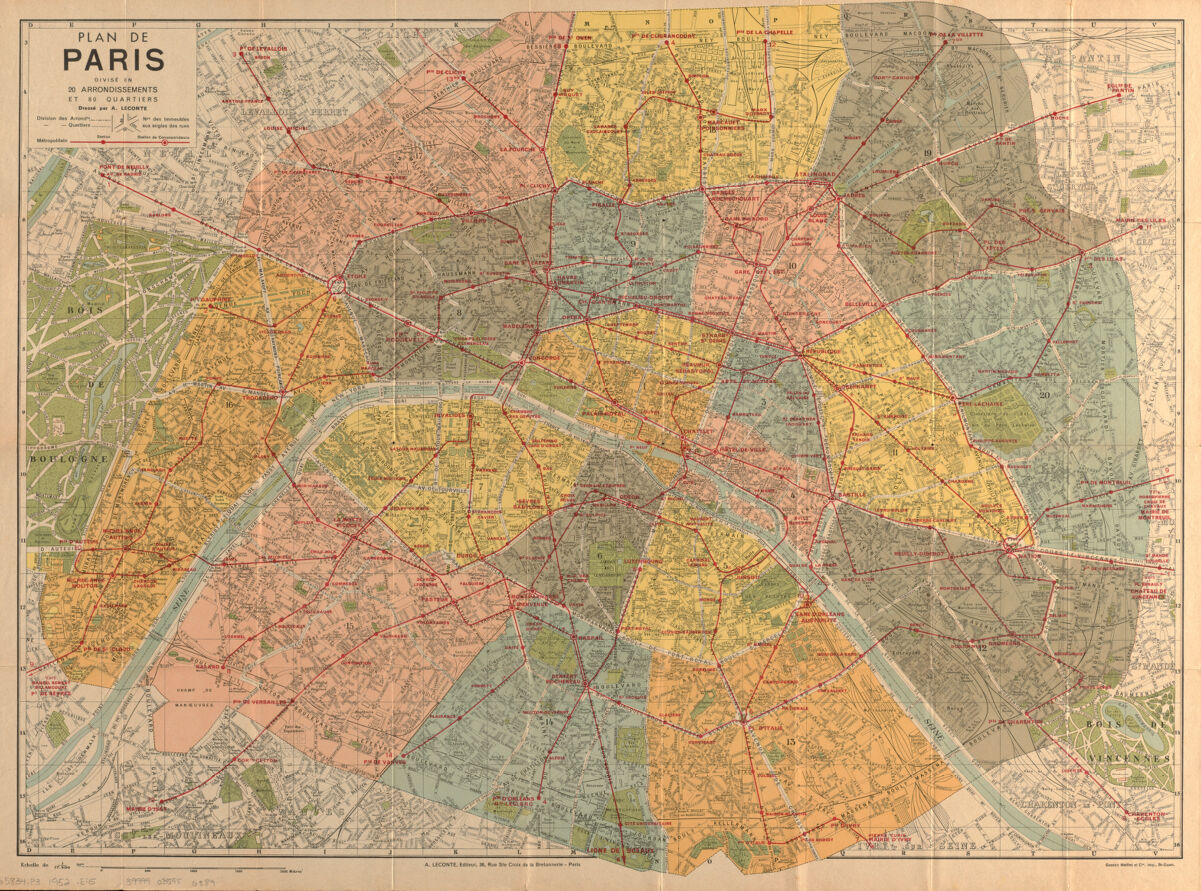
A. Leconte, Plan de Paris divisé en 20 arrondissements et 80 quartiers (1947)
Today, the Paris Métro system has 308 stations, 16 lines, and operates mostly underground. The first line, Porte Maillot–Porte de Vicennes, was opened in July of 1900 during the World’s Fair. By 1920, ten additional lines were complete. In the 1930s, lines were extended to reach the inner suburbs. At the time when this map was made in the 1940s, eight lines had been extended, but ridership significantly declined during World War II due to limited service and station closures.
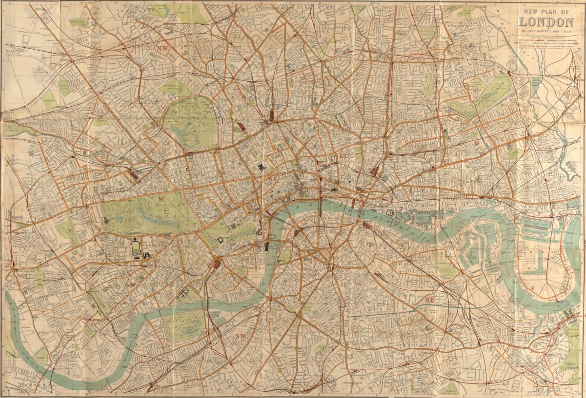
John Bartholomew, New plan of London (1895)
London’s rapid transit system is the oldest in the world, dating all the way back to 1863! Public transit began even earlier in 1829 with horse-drawn omnibuses, which were replaced by motor omnibuses by 1902. This map from 1895 includes railway stations, underground railways, tramways, and shared routes.
Hagstrom Company, Hagstrom’s map of Brooklyn (New York City): house-number and subway guide (1927)
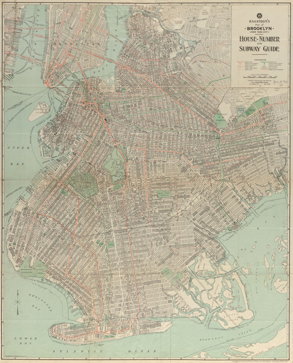
Hagstrom Company, the maker of this map, was started as a drafting business in 1916 by a Swedish immigrant named Andrew Hagstrom. To attract new business, he made a map of the shop’s location—It exaggerated the size of streets and allowed for clear labeling of details like addresses, transportation, and green space. The map was so popular that Hagstrom began selling copies—officially forming the Hagstrom Map Company in 1916. The company then made new maps of Manhattan, the rest of New York City, and surrounding regions, eventually offering 100 different maps. During the 1940s, Hagstrom’s design was even used for New York City’s official subway maps!
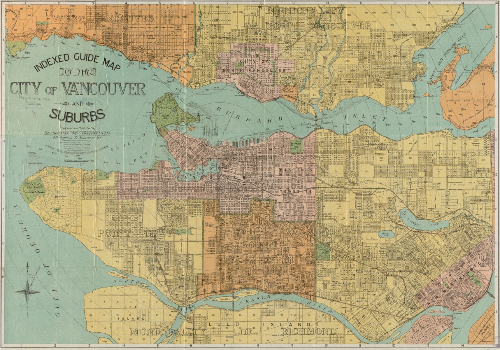
Vancouver Map and Blueprint Company, Indexed guide map of the city of Vancouver and suburbs (1920)
Vancouver’s streetcar service began in 1897 with the BC Electric Railway. BC Electric built all its own cars out of a local bus barn; they were wooden, painted dark green, and used for over 50 years. The streetcar routes are indicated by “heavy red lines” on this 1920 map of the city.
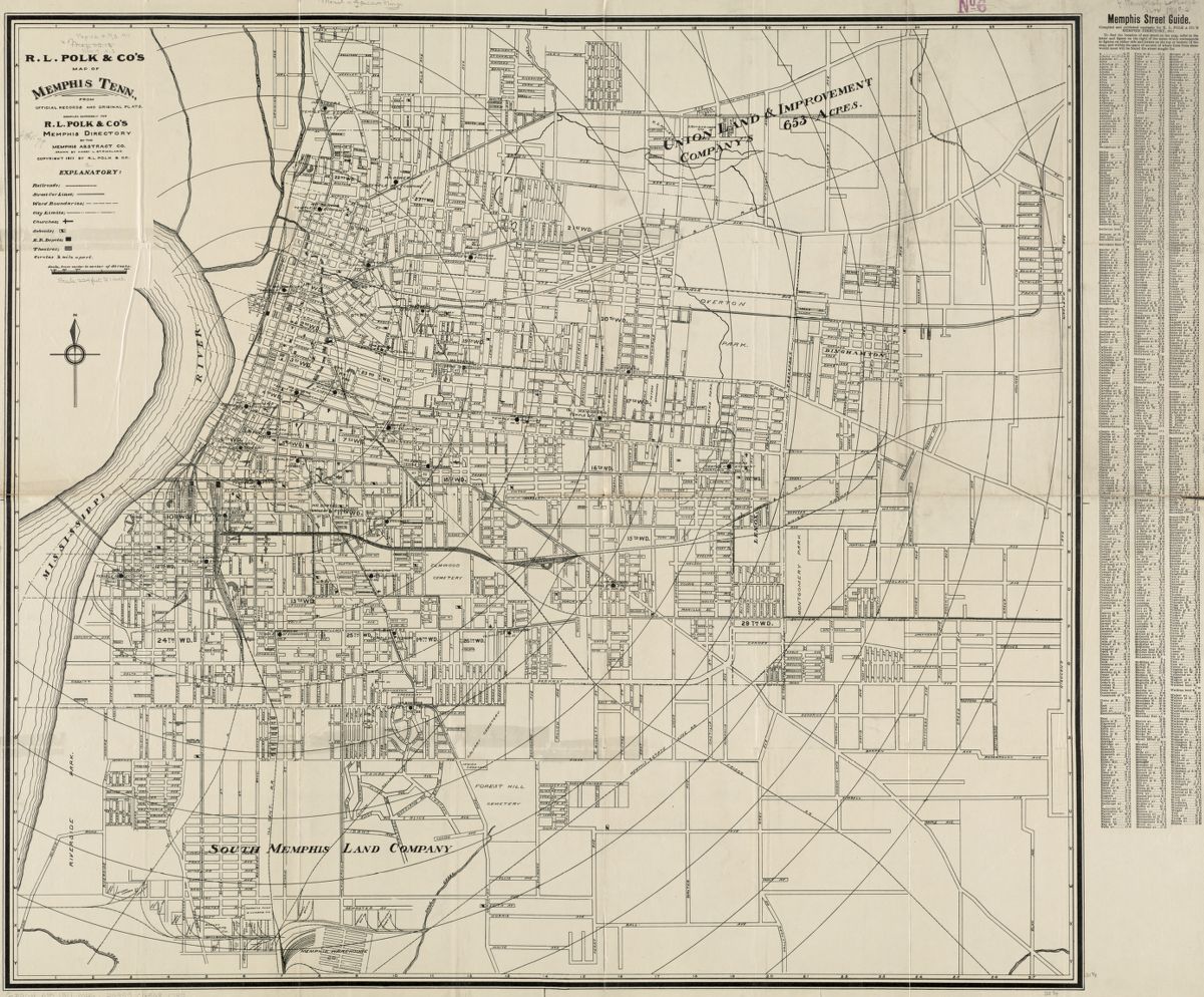
Memphis Abstract Company, R.L. Polk & Co’s map of Memphis, Tennessee (1911)
When this map was made in 1911, the Memphis public transit system was operated by the Memphis Street Railway Company. They operated 51 miles of double track and 26.5 miles of single track, using 109 open cars, 69 semi-convertable cars, and 132 closed cars.
Matthews-Northrup Company, Map of Minneapolis, Minn (1895)
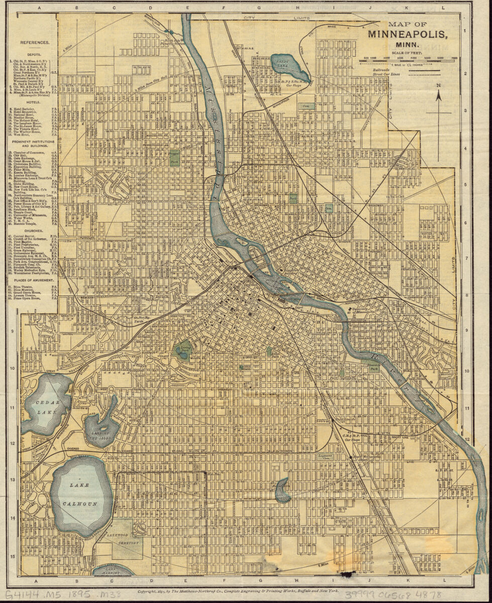
Streetcar service began in Minneapolis in 1875 with horse-drawn cars operated by the Minneapolis Street Railway Company. In 1890, that company merged with the St. Paul City Railway Co. to form the Twin City Rapid Transit Company and work toward electrification, track upgrades, and using company-built streetcars.
Our articles are always free
You’ll never hit a paywall or be asked to subscribe to read our free articles. No matter who you are, our articles are free to read—in class, at home, on the train, or wherever you like. In fact, you can even reuse them under a Creative Commons CC BY-ND 2.0 license.