Maps of the Five Wards & Seoul
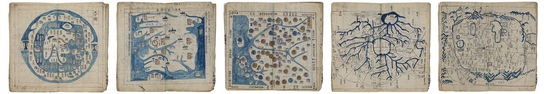
From World, to Regional, to Local
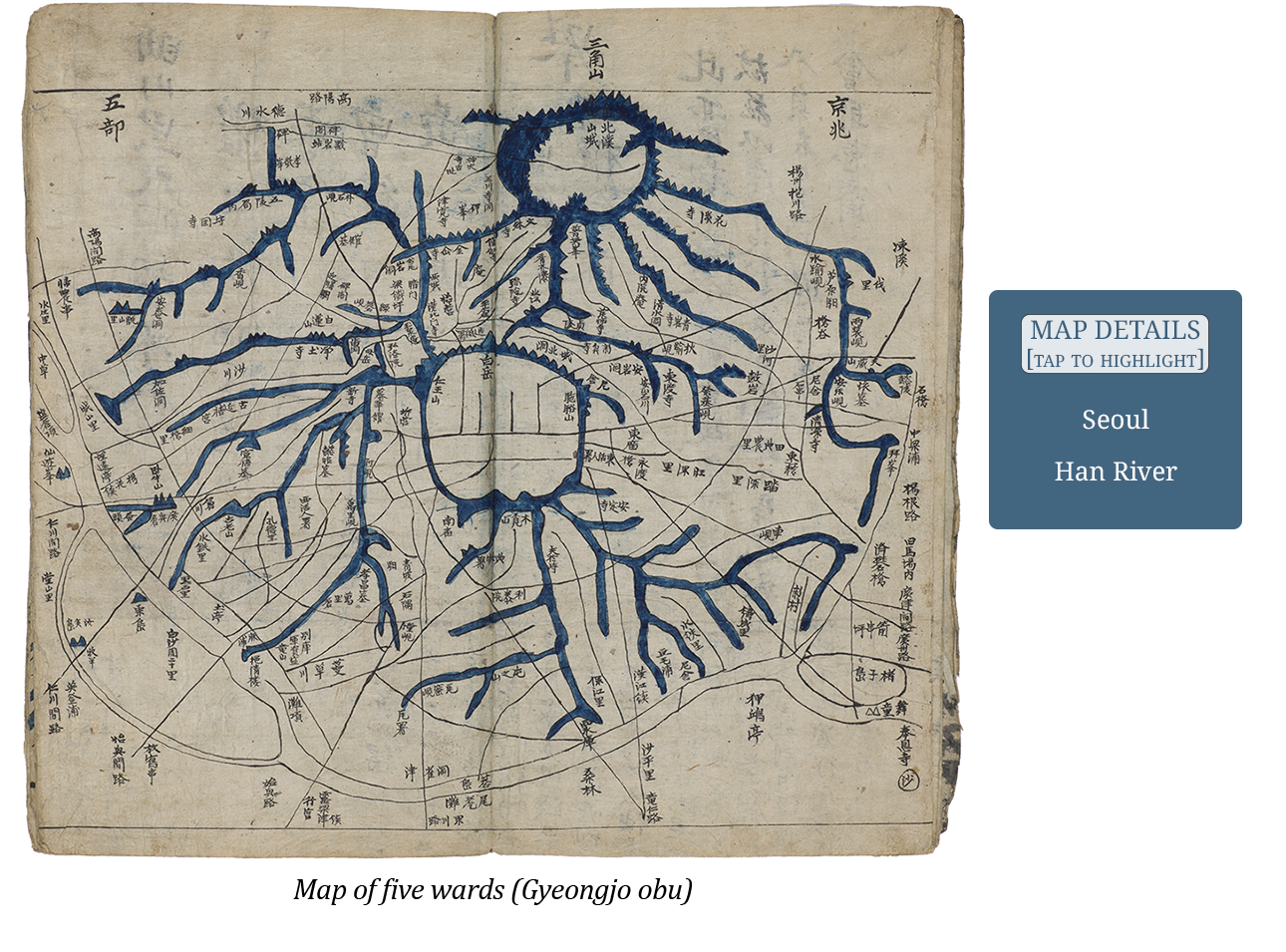
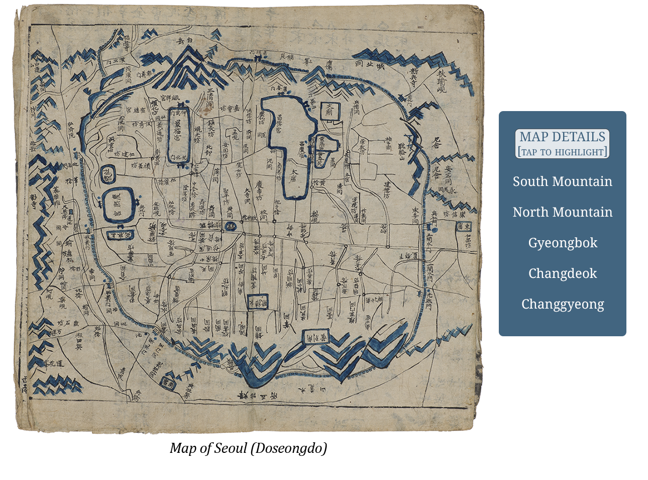
The center of the conceptual framework we are to consider in this Korean atlas is the capital city of Seoul, the place where the Korean throne was located during the Joseon dynasty. The atlas presents visually and intellectually an increased magnification over the course of the maps presented in the atlas beginning with the world, then the region, and finishing with the local as understood in the five small maps above.
There are two maps of the city of Seoul presented in the atlas, a Map of five wards (Gyeongjo obu) and a Map of Seoul (Doseongdo). Both of these maps are copied directly from Gim Jeongho (1804-66), Korea’s best known geographer and cartographer, large format atlas of 1861 entitled Complete territorial map of the Great East (Daedong yeoji jeondo). The Map of five wards illustrates the five districts around the inner city (ring in the center), and exaggerates the arterial mountain system surrounding the city, a specific characteristic of Gim’s larger map. The Han River can be clearly seen along the south and western borders of Seoul. The map also exaggerates the comparative scale of the inner city, an area that is expanded in the next map. The Map of Seoul clearly outlines the three palace grounds in north central Seoul, from east to west, Changgyeong, Changdeok, and Gyeongbok. Other recognizable landmarks are the Jongno, literally “Bell Road” running east-west, that divides the city north and south and the southern mountain Mongmyeoksan, today known as Namsan or “South Mountain,” and the north mountain Samgaksan.