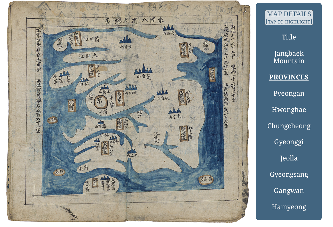
Map of Korea
Within this atlas, the Map of Korea has the title Dongguk paldo jeondo (Complete Map of Eight Provinces of the Eastern Country). Next to each provincial name cartouche (eight vertical rectangular boxes) on this map is listed the number of prefectures (k. gun) in that province, thus an indication of relative populations. Also drawn and named are the major rivers, mountains and islands of the peninsula. Interestingly, the northern-most mountain is named using the Chinese name of Jangbaek (c. Changbai 長白) Mountain, not the Korean name of Baekdu 白頭 Mountain. However, the same culturally important mountain on the Map of China and the Map of Hamgyeong (Province), in the individual province maps section, uses the name Baekdu.