April 11, 2022

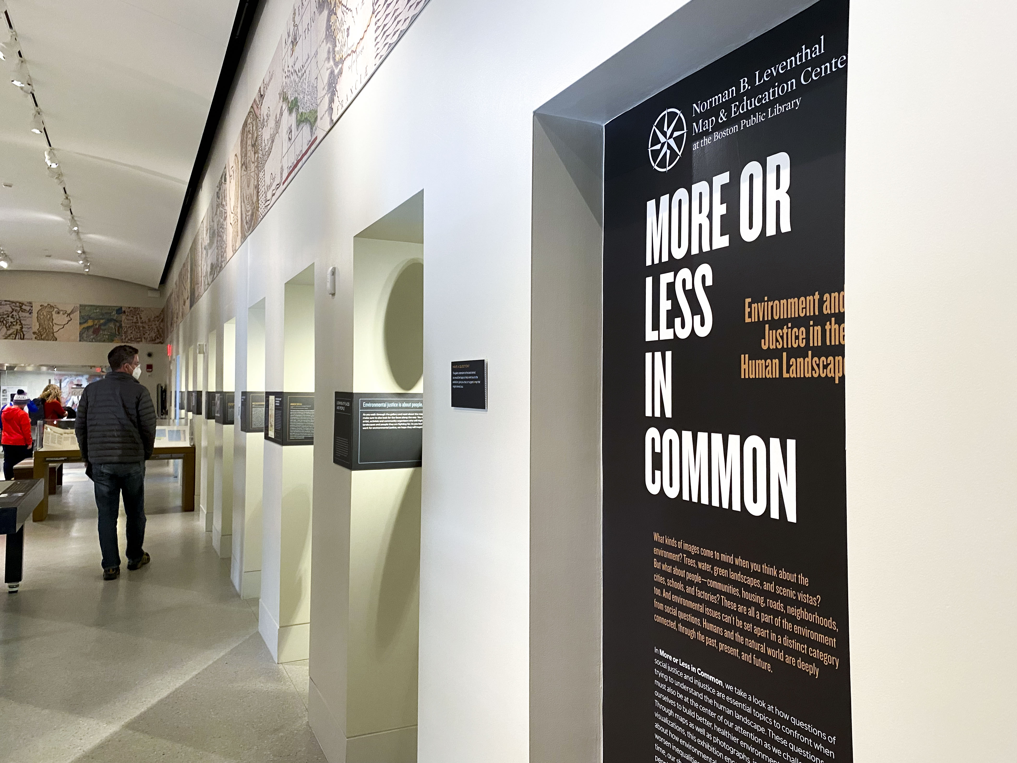
“This was really incredible.” “Insightful and inspiring.” “I learned so much.” Those are just some of the visitor comments from the first few weeks of our new gallery exhibition More or Less in Common: Environment and Justice in the Human Landscape. Did you know that part of Boston’s famous Emerald Necklace chain of parks was never completed? Can you guess how a map of redlining compared to a map of open space in the 1920s? Were you aware that the civil rights organization Freedom House planned neighborhood cleanups of Roxbury in the 1960s? Learn more about these and many more stories about struggles for environmental justice by visiting our free exhibition today.
Tell your own story about environmental justice in our gallery
Want to speak up about environmental justice issues in Boston or work that you’re doing in your community? We want to feature as many different people as possible in our rotating “Speaking Up For A Shared Future” visual display in our More or Less in Common exhibit. Feel free to fill out the form for yourself or pass along to a friend or colleague who you think might be interested. Our goal is to make this installation a space where community organizations can speak for themselves to our visitors and make the case about action for environmental justice.
Going green in Union Square
How does a glass factory come to be the site of a new train station? With the recent opening of the new Union Square station on the MBTA Green Line, Rachel Sharer took a dive into our collections and our Atlascope tool to explore intersections of history and environmental justice around Somerville’s newest train station.
We're Hiring!
Even though we just finished putting up one exhibition, we’re already getting ready for our next one! As part of that process, we’ve just opened a search for an Exhibition Curatorial Fellow who will take a lead role in planning, researching, and producing content for our 2023 exhibition on local-scale history in Greater Boston. Applications are due May 23.
Online event: Geographies of contact between soldiers and civilians · April 26, 7pm ET
What impact did the Revolution era military’s presence in American cities have on citizens and civilians? Tune in to hear Professor John McCurdy unpack the geographies of contact between soldiers and civilians—from urban squares to barracks and lodging houses—during the Revolutionary War. McCurdy’s work examines the small-scale spaces where the everyday realities of life during an imperial conflict became personalized.
Mark your calendars for Atlascope trivia!
Think you can best your friends with trivia about Boston history? After a long hiatus, starting in May we are bringing back our free Atlascope Trivia series. Join us on May 26 at 6pm in the Newsfeed Café at the Central Library in Copley Square for our Charles River Trivia Night. We hope to see you there!
The Leventhal Map & Education Center is an independent nonprofit. We rely on the contributions of donors like you to support our mission of preserving the past and advancing the future of maps and geography.
View this email in your browser
Leventhal Map & Education Center at the Boston Public Library
617.859.2387 · info@leventhalmap.org
{{SenderInfoLine}}


