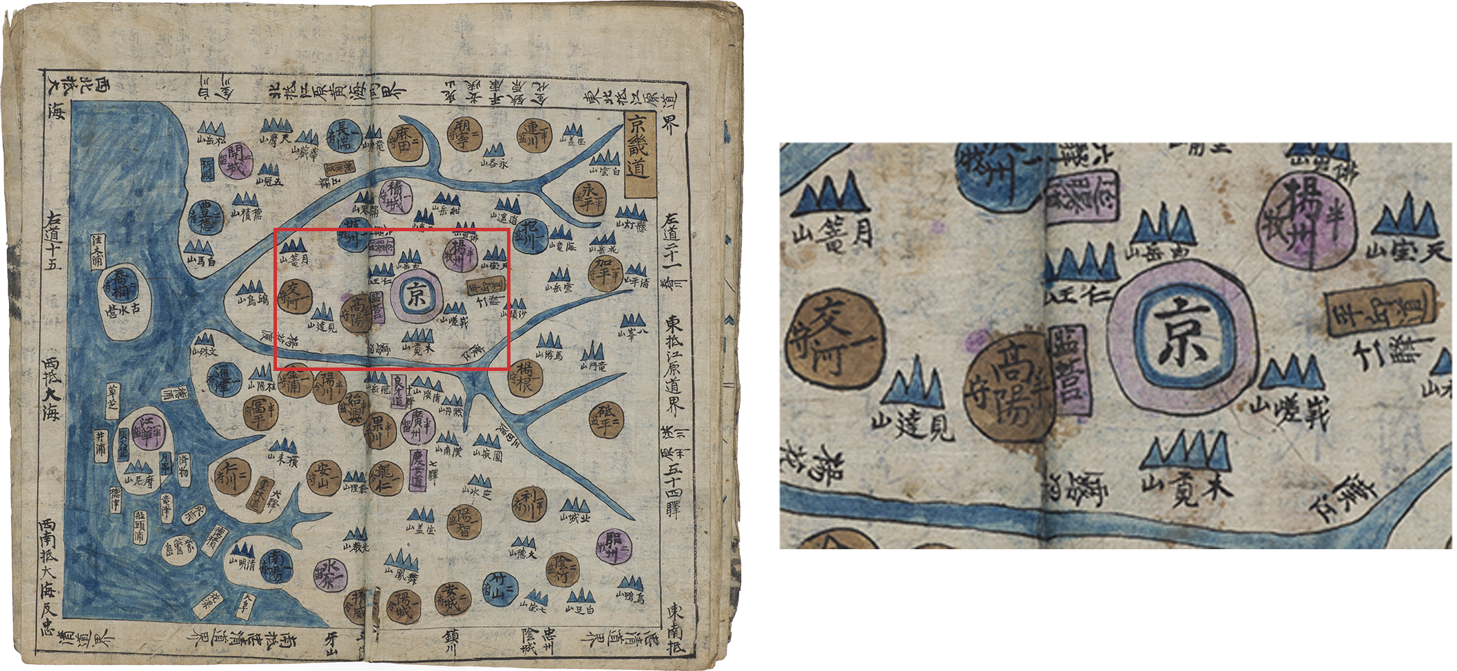
Gyeonggi Province
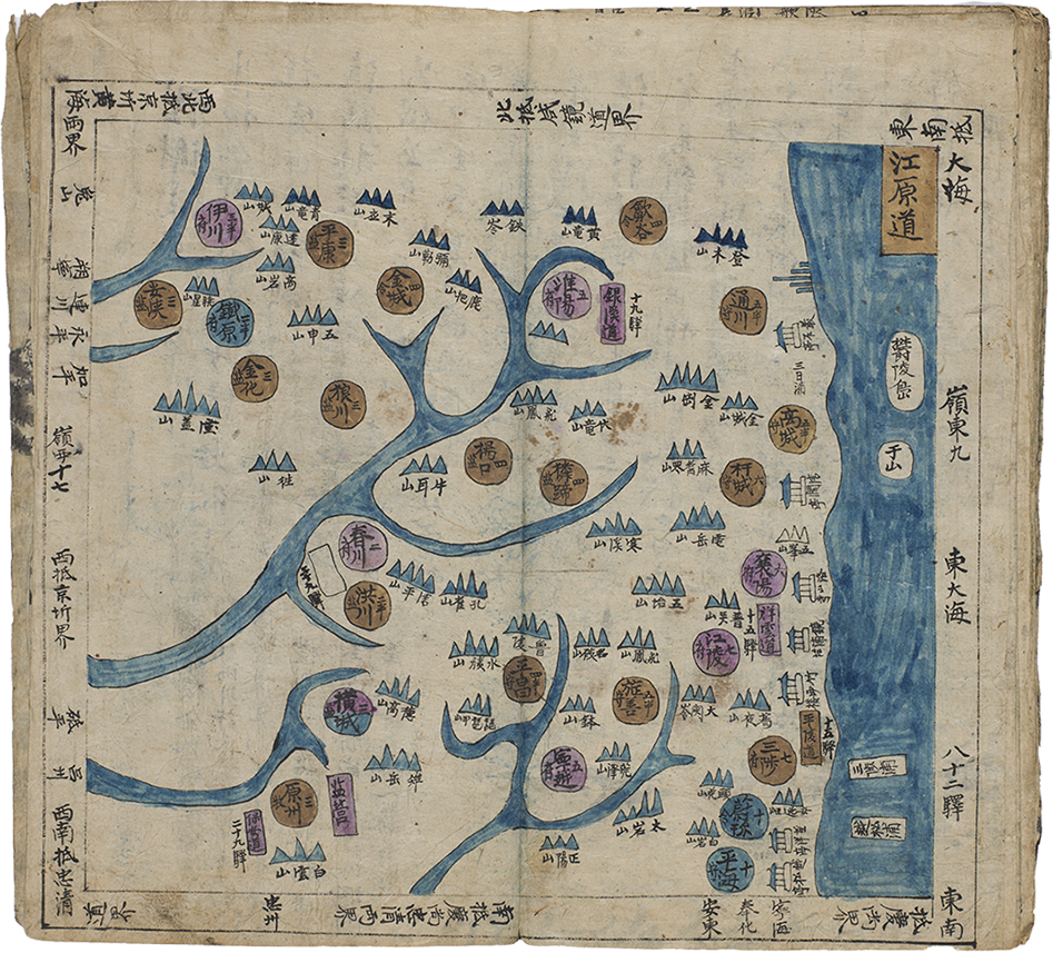
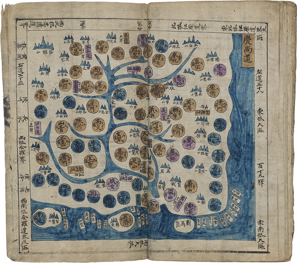
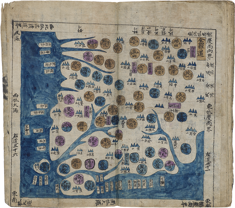
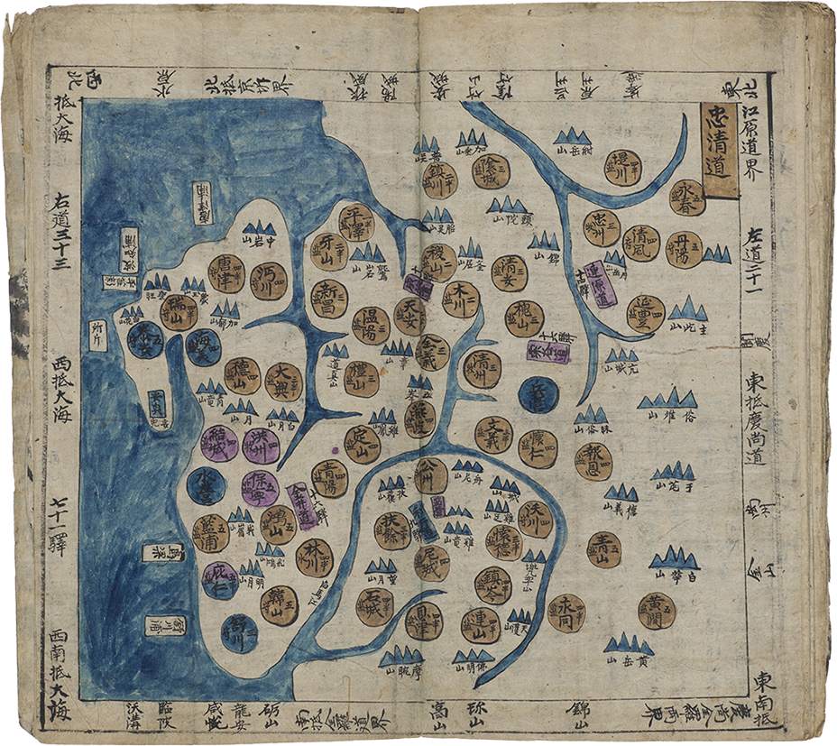
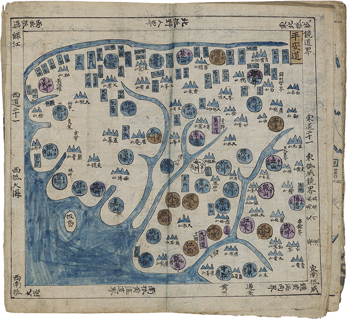
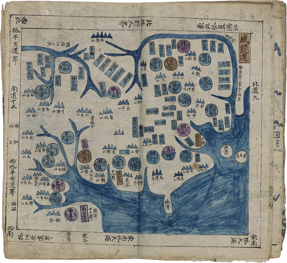
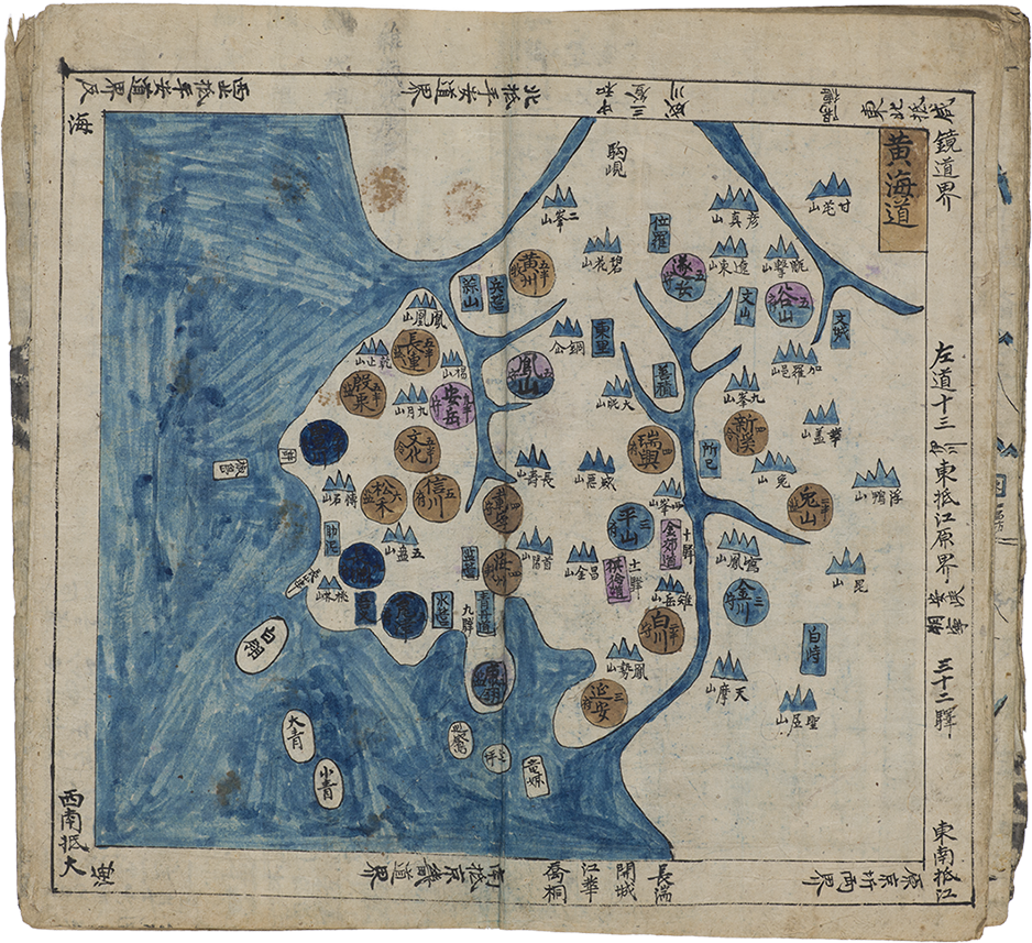
The atlas contains maps of the eight provinces which are Gyeonggi, Chungcheong, Jeolla, Gyeongsang, Gangwon, Hwanghae, Pyeongan and Hamgyeong.
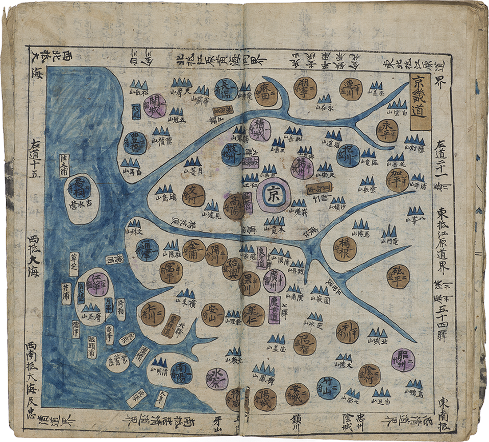
The Gyeonggi provincial map includes the capital in the center marked by the large character “capital” (k. gyeong) in a dot surrounded by blue
and purple rings, differentiating visually from tother administrative dots. The province name is given in the top right corner. Along the borders,
adjacent provinces and bodies of water are indicated. Mountains, important landmarks and ubiquitous throughout the Korean peninsula, are all named and marked in blue.
Each colored dot represents an administrative unit, with its name, type and largest place name inside the dot.
For example, Goyang, located immediately to the “left” of Seoul, is a half prefect with Deokyang as its largest town, providing indication of
population size and type of governance. Other important “dots” indicated are the two islands at the mouth of the Han River named Gogu and Gangwha.
The mountain fortress at Gogu has the three characters for “ancient naval base ,” indicating the importance and significance of that location.
The
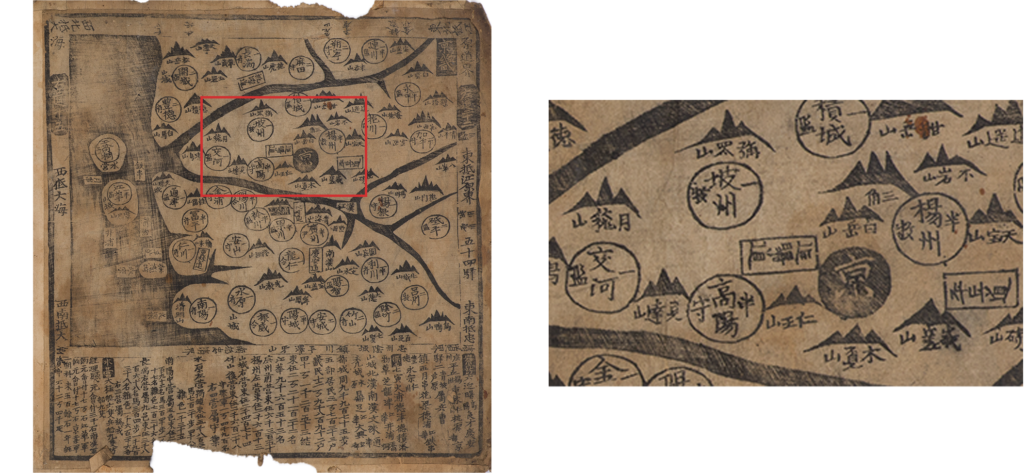
Dongguk yeojido atlas provides similar visual information, albeit without any color, on smaller-sized maps.
This atlas does, however, have more extensive written information provided in the cartouches along the bottom of each provincial map.
The map of Gyeonggi province, in which the capital is demarcated by a solid dot, is similar in presentation.
The map proper information is, however, abridged in comparison. Here, Goyang is shown, but only the administrative name is provided;
the name of its principle town is not indicated. The island of Gogu is indicated, but it is from the lengthy cartouche below that we learn
Gogu is a walled mountain city dividing the Han River north and south, and later that it has six large ships, nine naval ships and nine coast guard vessels.
In examining only these three atlases, it becomes apparent that there is great variety in methods of presentation and types of information in Korean atlases.