
November 10, 2025

Samuel Chester Clough, Atlas of Boston neighborhoods based on the Direct Tax Census of 1798 (ca. 1900)

Introducing Clough's 1798 urban atlas
In 2024, we worked with the Massachusetts Historical Society to bring a digital copy of Samuel Chester Clough’s atlas of Boston neighborhoods in 1798 into our digital collections. Now, after an intensive geotransformation process, we’ve turned Clough’s atlas into an Atlascope layer. Although this atlas visually resembles the fire insurance and tax atlases currently in Atlascope, it was not created for either of these purposes. In this article, Associate Curator for Digital & Participatory Geography Ian Spangler details the history of the atlas and how you can use it to discover Boston in the early decades after American independence.

Virtual: Katy Lasdow on Women Property Holders of Boston’s Waterfront in the Late 1700s · Nov 13, 7 pm ET
Join us on November 13 for a conversation in the Brown Seminar on the Historical Geography of the American Revolutionary Era with Professor Katy Lasdow, co-curator of our current exhibition Terrains of Independence. In this program, Dr. Lasdow will explore how maps and deeds documenting women property holders on Boston’s waterfront in the late 1700s illuminate women’s persistence in these neighborhoods, in the face of challenges which changed real estate and land use in the early Republic. Registration is encouraged.
This program is part of the American Revolutionary Geographies Online (ARGO) project.
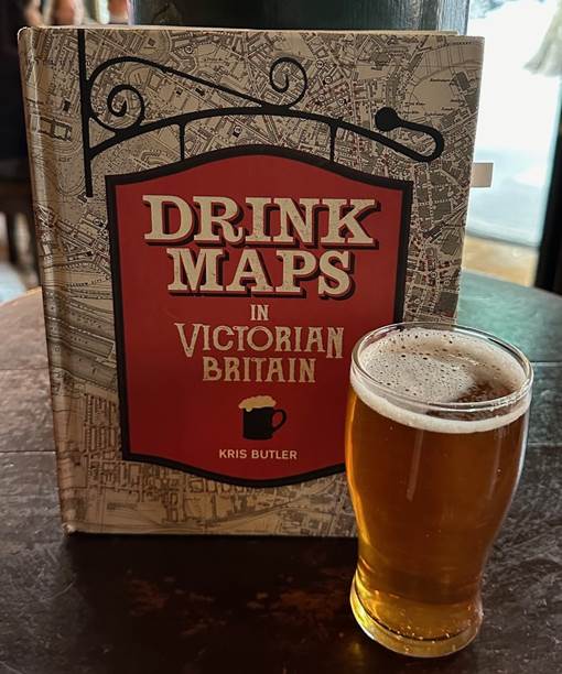
In-Person: Kris Butler on Drink Maps in Victorian Britain · Nov 20, 6 pm ET
Join Kris Butler for a presentation and conversation on her book Drink Maps in Victorian Britain, which explores how cartographic information about alcohol consumption was brought to bear in the temperance campaigns of the late nineteenth century. Books will be available during the event for purchase and signing. This talk is free, open to the public, and will be held in person at Holland & Knight at 10 St. James Avenue, 11th floor. Local beer will be served and registration is required.
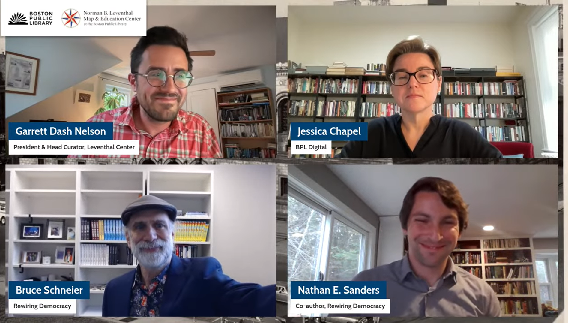
ICYMI: Watch Nathan Sanders and Bruce Schneier on AI and Democracy
Last week, we hosted a virtual conversation with Nathan Sanders and Bruce Schneier about their new book, Rewiring Democracy: How AI Will Transform Our Politics, Government, and Citizenship. Co-hosted by Jessica Chapel, BPL Chief of Digital & Online Services, the event explored questions about the impact of artificial intelligence on daily life and democracy. A recording of this talk is now available on the Leventhal Center YouTube channel.

Interested in serving millions of BPL patrons online?
Our colleagues on the BPL Digital team are hiring! If you or someone you know has a background in product management, digital strategy, and preservation within cultural institutions, be sure to look at the postings for a Digital Experience Manager and a Digital Preservation Manager.

FTV October Highlights
This past October, we hosted two From the Vault events.
Maps in Disaster, curated by our GIS & Geohumanities Assistant, Kate Lautenbach, delved into cities, neighborhoods and regions that either had just or were soon to experience a massive disaster. Creepy Cartography took a look at some of the more … unsettling maps in the collection in the spirit of Halloween, when the event was held.
Check out the maps from each of the events in the roundup articles linked below.

Newsletter Trivia: Newspaper Row
Home to more than eight newspapers in its heyday from the late 1800s to the early 1940s, Boston’s “Newspaper Row” ran from Milk Street to the Old State House. This historic area is now located in which modern district of Boston?
Chinatown District
Theater District
Downtown Universities District
Financial District
The answer to last newsletter’s question about what part of Boston the Oriental Tea Company (and the kettle) was originally located is Scollay Square.
Correct answers will be included in a random drawing—the winner will receive the next three Map of the Month club postcards for free. Congratulations to our last winner, Elizabeth! In order to enter, make sure you follow us on Bluesky, Instagram or Facebook and direct message or email us the answer to the question. We’ll accept answers until November 17 at 9 am ET.
The Leventhal Map & Education Center is an independent nonprofit. We rely on the contributions of donors like you to support our mission of preserving the past and advancing the future of maps and geography.
View this email in your browser
Leventhal Map & Education Center at the Boston Public Library
617.859.2387 · info@leventhalmap.org
{{SenderInfoLine}}