
August 18, 2025


An Interview with Alex Jones, Learning Resource Specialist
We’re excited to introduce Alex Jones as our new Learning Resource Specialist at the Leventhal Center! Alex joined us this June and has an extensive history in library and museum work. We sat down with Alex to learn more about his interest in the American Revolution, his favorite digital tools, and his must-see item from Terrains of Independence.

Virtual: Urban Space, Water, and Health in Colonial Charleston · Sep 16, 6 pm ET
Join us this fall for a conversation in the Brown Seminar on the Historical Geography of the American Revolutionary Era with historian Molly Nebiolo. Professor Nebiolo will explore the colonial geography of Charleston with a focus on tidal creeks and other waterbodies—both those marked on maps of this period as well as those hidden in the cartographic record. These maps open up a new perspective on the history of health and environment in the eighteenth-century colonial American city.
This program is part of the American Revolutionary Geographies Online (ARGO) project.

In-Person: Street Imperialism: Cities at the Onset of Colonization · August 22, 2 pm ET
A city plan is a window into a city’s culture and ways of life. Unfortunately, most historic urban maps that have made their way into modern collections were created by European and American cartographers and primarily depict cities designed or strongly influenced by European practices. This leaves many peoples, cities, and cultures cartographically underrepresented.
This From the Vault map collections showing will spotlight highlights in our collections that depict global, pre-industrial cities that were founded by non-European cultures. Selections are curated by our Visitor Services & Exhibition Assistant, Artem Sereda.
Virtual: Mapping Basics & the American Revolution (for Elementary Students) · Sep 17, 6:30 pm ET
Maps are everywhere in textbooks about the American Revolution—troops on the move, shifting borders, colonies becoming states. But how can we help students really read these maps instead of skipping over them?
In this session, we’ll break down foundational map-reading skills and explore strategies to get students beyond “this is here, that is there.” We’ll also introduce the American Revolutionary Geography Online (ARGO) project and items from the Leventhal Center map collection to support your curriculum development. You’ll leave with classroom-ready ideas that center student inquiry and recognize whose stories maps include—and exclude.

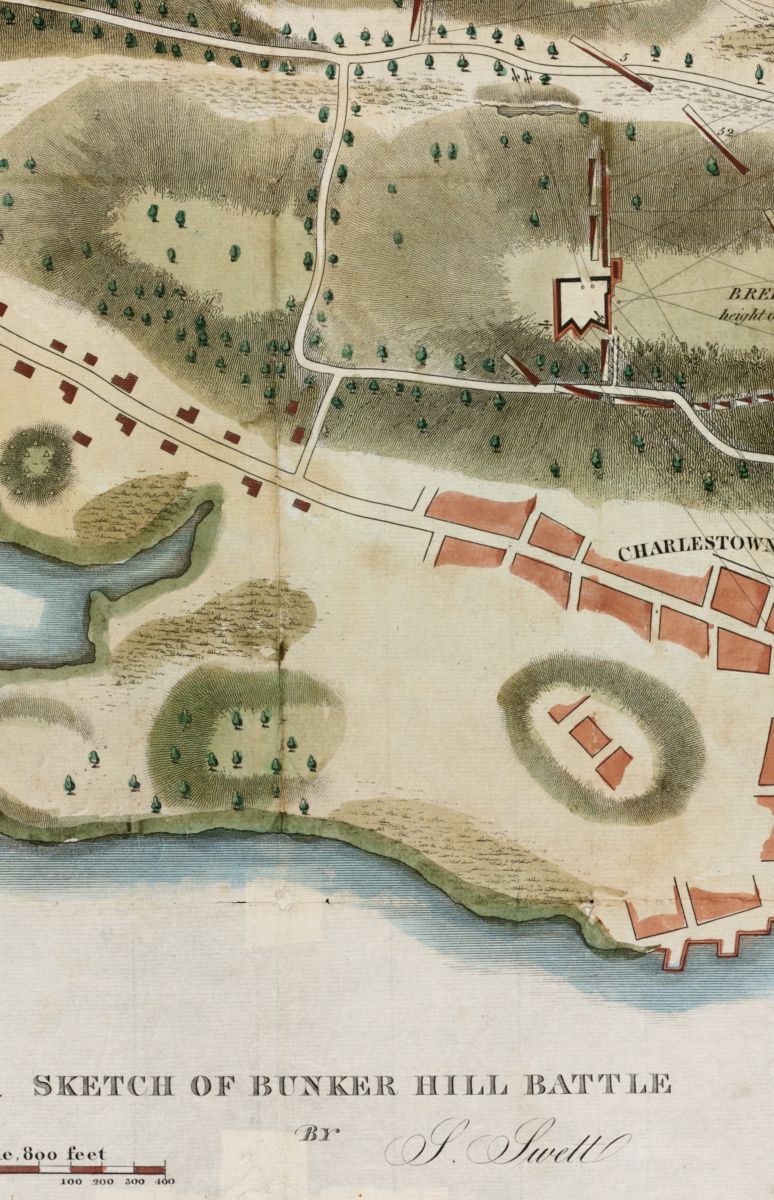
Newsletter Trivia: Ropewalk
By the turn of the nineteenth century, Boston had over a dozen “ropewalks,” which were long buildings where rope was produced. Today, only one remains in Boston, which is the only surviving stone ropewalk in the United States. Where is this ropewalk?
- Charlestown
- Long Wharf
- North End
- East Boston
The answer to last newsletter’s question about which American city actively encourages public swimming in its adjacent river is Memphis and the Mississippi River.
Correct answers will be included in a random draw—the winner will receive the next three Map of the Month club postcards for free. Congratulations to our last winner, Joseph! In order to enter, make sure you follow us on Bluesky, Instagram or Facebook and direct message or email us the answer to the following question. We’ll accept answers until August 25 at 9 am ET.

Gift Store: A Summer Treat
Have you seen the new additions to our gift store? For a small mid-year treat, we’ve added three new maps to the gift store and that’s not even the best part! Use the code SUMMERTREAT for free shipping.
We’re looking to add a few more maps to the gift store and we’d love to hear from you! Let us know what subject matter, time period, or specific maps you’d like to see us add by replying to this email for the opportunity to help shape our offerings.
The Leventhal Map & Education Center is an independent nonprofit. We rely on the contributions of donors like you to support our mission of preserving the past and advancing the future of maps and geography.
View this email in your browser
Leventhal Map & Education Center at the Boston Public Library
617.859.2387 · info@leventhalmap.org
{{SenderInfoLine}}