
March 17, 2025

Last chance: The final days of Processing Place
After seven months on display, Processing Place: How Computers and Cartographers Redrew our World will close on Sunday, March 23. We invite you to visit one more time to see objects from the Leventhal Center’s unique collections in the history of digital mapping. For those unable to visit in person, you can explore the the digital exhibition, as well the finding aids for the Applied Geographics, Inc. Records, David Judkins Weaver papers, and Richard K. Grady papers. After a two week turnover period, our next exhibition, Terrains of Independence, opens on April 3.
Currently Hiring: Learning Resource Specialist
Could you be our next team member? The Center is searching for a Learning Resource Specialist. We are looking for someone with the knowledge, creativity, and enthusiasm to create asynchronous learning tools that draw educators and general audiences into the collections of the Leventhal Center through themes of geography, social studies, and place-based history. Upon hire, the Learning Resource Specialist will collaborate with the Director of Education on a year-long revision of existing educational resources for K-12 educators. For full consideration, apply by Tuesday, April 1, 2025 at 12:00 pm ET.
Image credit: Michael Clarke, Suffolk University

City of Boston Planning Academy RFP
The City of Boston Planning Department is launching a new initiative to create a Planning Academy, an accessible resource for civic education that is community-centered and contextualizes planning and development in Boston. The Leventhal Center will serve as a partner in this work by providing resources about urban history and civic geography to support the Academy’s work. The Planning Department currently seeks RFPs for consultants to design and implement the initial phase of the Planning Academy; responses must be submitted by March 21, 2025.

In person: From the Vault: As Little Land As Possible · March 21, 2:00 pm ET
Though over 70% of the planet’s surface is covered in water, few stop to think about how we map this huge segment of the Earth (and how important it is we do so). From detailing the best maritime trade routes to documenting exploratory journeys across the sea, maps of our largest bodies of water can push the boundaries of our understanding of “conventional” map making.
This free showing will be hosted Friday, March 21 in the Leventhal Map & Education Center with a staff member available to answer questions. Drop in any time between 2:00 pm - 4:00 pm, no reservation required.

Virtual: Exploring Media Literacy Through American Revolution Newspapers · April 8, 6:00 pm ET
Join BPL Special Collections and the BPL Media and Journalism Specialist for 250th Anniversary of the Battles of Lexington and Concord: Analyzing Historical Newspapers to Strengthen Modern-Day Media Literacy Skills. Using BPL’s Special Collections as a guide, participants will examine historical documents to learn about the news ecosystem at the time of the American Revolution, as well as media literacy skills that can be applied to consuming the news today.

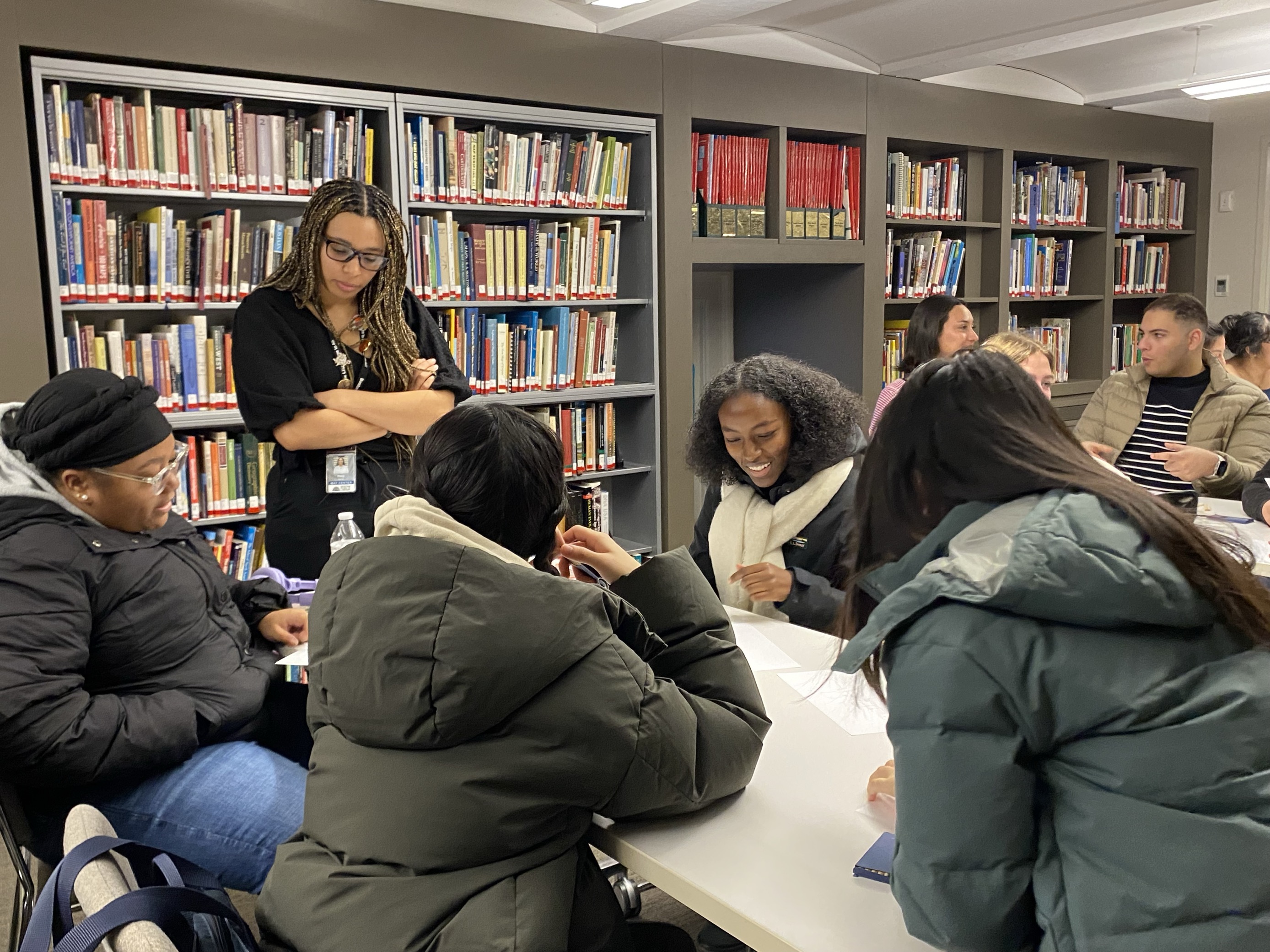
From the Vault: February Roundup
In February, we hosted two From the Vault events. For the Love of Maps was a nod to Valentine’s Day and saw staff highlighting their favorite maps alongside personal reflections. Holding the Narrative: Understanding the Social and Real World Implications of Maps, curated by our current Northeastern University co-op student Zaila Alves, took a close look at maps of the African continent and asked visitors to consider how what’s not included can be just as informative as what’s being represented. Check out the maps from both events in the roundup articles linked below.
Newsletter Trivia: Processing Place
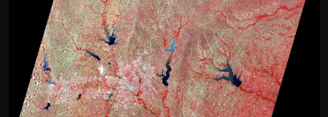
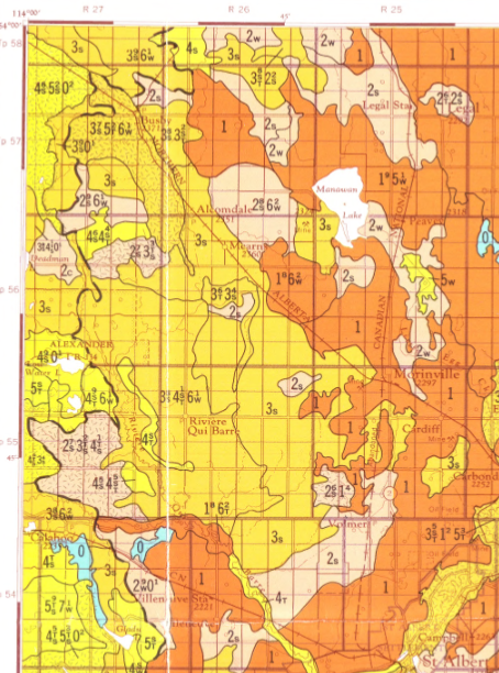
Which country is credited with creating the first program to collect national land use data in a “geo-information system” that used computers to automate map production?
- Finland
- Canada
- The United States
- Sweden
The answer to last newsletter’s question about where the Central Library was located from 1854 to 1894 was Boylston Street (though it was much closer to the Common at the time)!
Correct answers will be included in a random draw—the winner will receive the next three Map of the Month club postcards for free. In order to enter, make sure you follow us on Bluesky, Instagram or Facebook and direct message or email us the answer to the following question. We’ll accept answers until March 24 at 9 am ET.

Revolutionary War map reproductions now available
With two Revolutionary War-era maps recently added to our online shop, there’s something for everyone! For everything from postcards and exhibition catalogs to frame quality maps, use the code TERRAINS for 25% off your total order until our new exhibition opens on April 3.
The Leventhal Map & Education Center is an independent nonprofit. We rely on the contributions of donors like you to support our mission of preserving the past and advancing the future of maps and geography.
View this email in your browser
Leventhal Map & Education Center at the Boston Public Library
617.859.2387 · info@leventhalmap.org
{{SenderInfoLine}}