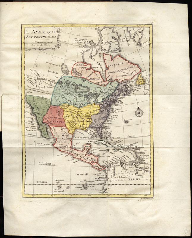
L'Amerique Septentrionale
This map is also available in American Revolutionary Geographies Online (ARGO), a collections portal especially built for material relating to the American Revolutionary War Era. Visit ARGO to learn more about this item and explore the historical geography of North America in the late eighteenth century.
Item Information
- Title:
- L'Amerique Septentrionale
- Creator:
- Korn, Christoph Heinrich, 1726-1783
- Publisher:
- Raspe, Gabriel Nicolaus, 1712-1785
- Engraver:
- Dorn, Johann Martin
- Name on Item:
-
I. M. Dorn sc.
- Date:
-
1776
- Format:
-
Maps/Atlases
- Location:
- George Washington's Mount Vernon
- Collection (local):
-
Richard H. Brown Revolutionary War Map Collection at Mount Vernon
- Subjects:
-
Indians of North America--Maps--Early works to 1800
North America--History--Revolution, 1775-1783--Maps--Early works to 1800
- Places:
-
North America (area)
- Extent:
- 1 map : hand col. ; 26 x 20 cm.
- Terms of Use:
-
No known copyright restrictions.
This work is licensed for use under a Creative Commons Attribution Non-Commercial Share Alike License (CC BY-NC-SA).

- Publisher:
-
Nuremberg :
G. N. Raspe
- Scale:
-
Scale [ca. 1:4,000,000]
- Language:
-
French
- Catalog Record:
-
MVLA record
- Notes:
-
Relief shown pictorially.
Prime meridian: [Ferro].
In upper right: 97.
In the author's Geschichte der kriege in und ausser Europa, zwenter theil ([Nurnberg : Gabriel Nicolaus Raspe], 1776).
- Identifier:
-
06_01_010205


