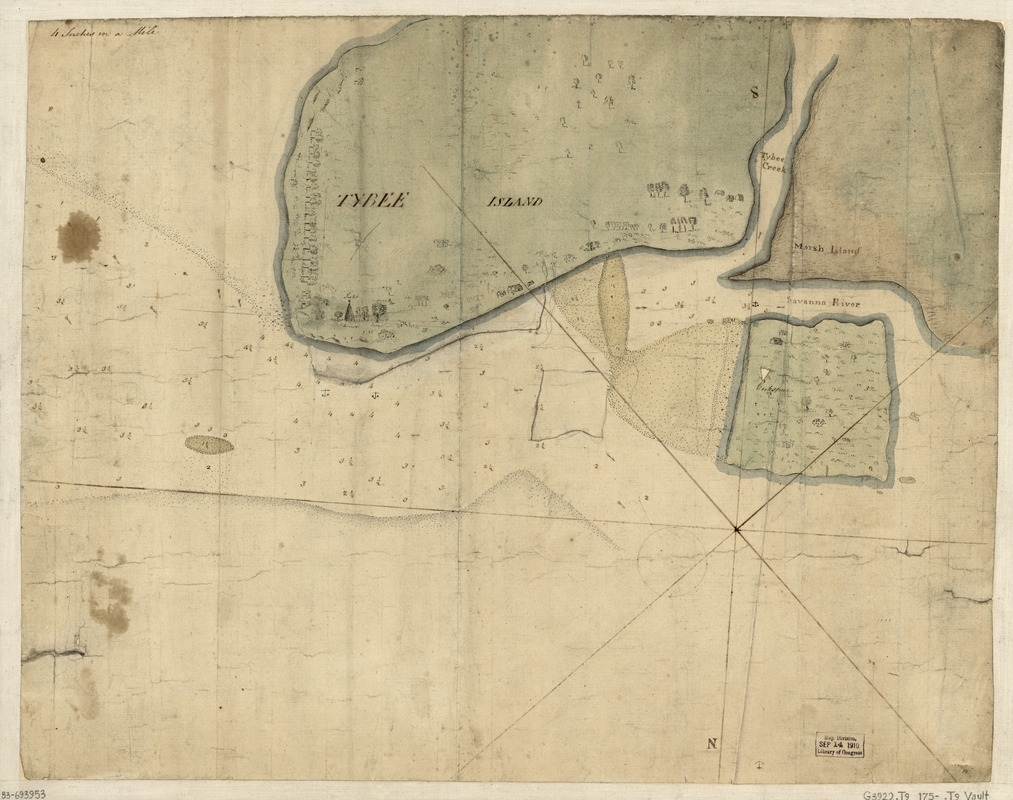
Tybee Island
This map is also available in American Revolutionary Geographies Online (ARGO), a collections portal especially built for material relating to the American Revolutionary War Era. Visit ARGO to learn more about this item and explore the historical geography of North America in the late eighteenth century.
Item Information
- Title:
- Tybee Island
- Date:
-
[1750?–1759?]
- Format:
-
Maps/Atlases
Manuscripts
- Location:
- Library of Congress Geography and Map Division
- Collection (local):
-
Library of Congress Collection
- Subjects:
-
Tybee Island (Ga. : Island)--Maps, Manuscript--Early works to 1800
Tybee Island Region (Ga. : Island)--Maps, Manuscript--Early works to 1800
Manuscript maps--Early works to 1800
- Places:
-
Chatham (county)Tybee Island (island)
- Extent:
- 1 map : ms., col., mounted on cloth backing ; 43 x 55 cm.
- Terms of Use:
-
No known copyright restrictions.
This work is licensed for use under a Creative Commons Attribution Non-Commercial Share Alike License (CC BY-NC-SA).

- Scale:
-
Scale [1:15,840]
- Language:
-
English
- Catalog Record:
-
https://lccn.loc.gov/83693953
- Notes:
-
Covers part of Tybee Island (Ga.) and part of surrounding islands and waters.
Shows buildings and vegetation.
Depths shown by soundings.
Pen-and-ink, watercolor, and pencil.
Oriented with north to the bottom.
- Notes (citation):
-
Cumming 279.
LC Maps of North America, 1750-1789, 1591
- Identifier:
-
ar159100


