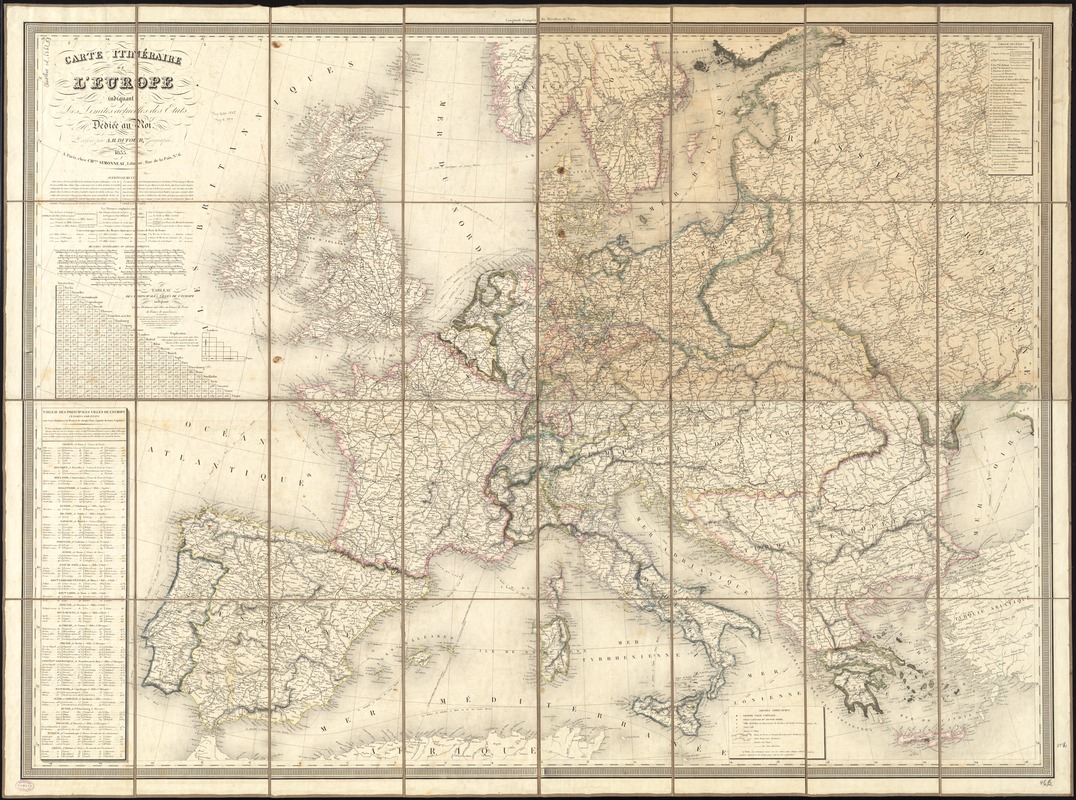
Carte itinéraire de l'Europe indiquant les limites actuelles des etats : dediée au Roi
Item Information
- Title:
- Carte itinéraire de l'Europe indiquant les limites actuelles des etats : dediée au Roi
- Creator:
- Dufour, A.-H. (Auguste-Henri), 1798-1865
- Name on Item:
-
dressée par A.H. Dufour, geographe.
- Date:
-
1835
- Format:
-
Maps/Atlases
- Location:
-
Boston Public Library
Norman B. Leventhal Map Center - Collection (local):
-
Norman B. Leventhal Map Center Collection
- Subjects:
-
Europe--Maps
- Places:
-
Europe
Europe
- Extent:
- 1 map : hand colored ; 89 x 120 cm
- Terms of Use:
-
No known copyright restrictions.
No known restrictions on use.
- Publisher:
-
Paris :
chez Chles. Simonneau,
- Scale:
-
Scale approximately 1:3,300,000
- Language:
-
French
- Notes:
-
Relief shown by hachures.
Prime meridian: Paris.
Includes distance chart and table showing distances between cities.
- Identifier:
-
06_01_012021
- Call #:
-
G5700 1835 .D84
- Barcode:
-
39999065693002


