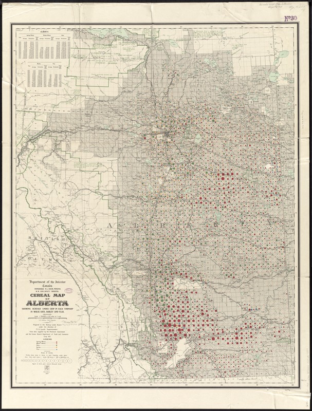
Cereal map of Alberta : showing acreage under crop in each township in wheat, oats, barley and flax
Item Information
- Title:
- Cereal map of Alberta : showing acreage under crop in each township in wheat, oats, barley and flax
- Creator:
- Canada. Railway Lands Branch
- Name on Item:
-
prepared in the Railways Land Branch under the direction of F.C.C. Lynch, superintendent.
- Date:
-
1914
- Format:
-
Maps/Atlases
- Location:
-
Boston Public Library
Norman B. Leventhal Map Center - Collection (local):
-
Norman B. Leventhal Map Center Collection
- Subjects:
-
Flax--Alberta--Maps
Barley--Alberta--Maps
Wheat--Alberta--Maps
Oats--Alberta--Maps
Grain--Alberta--Maps
Alberta--Maps
- Places:
-
CanadaProvince of Alberta (province)
- Extent:
- 1 map : color ; 93 x 74 cm
- Terms of Use:
-
No known copyright restrictions.
No known restrictions on use.
- Publisher:
-
[Ottawa, Ont.] :
Department of the Interior
- Edition:
- 3rd ed.
- Scale:
-
Scale 1:792,000 or 12 1/2 miles to 1 inch
- Language:
-
English
- Notes:
-
Relief shown by spot heights.
Includes statistics.
"From data supplied by the Provincial Government and the Census Branch, Department of Trade and Commerce."
"Crop 1913."
- Identifier:
-
06_01_011664
- Call #:
-
G3501.J61 1914 .C36
- Barcode:
-
39999065687384


