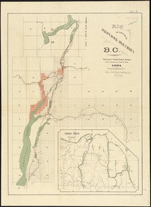
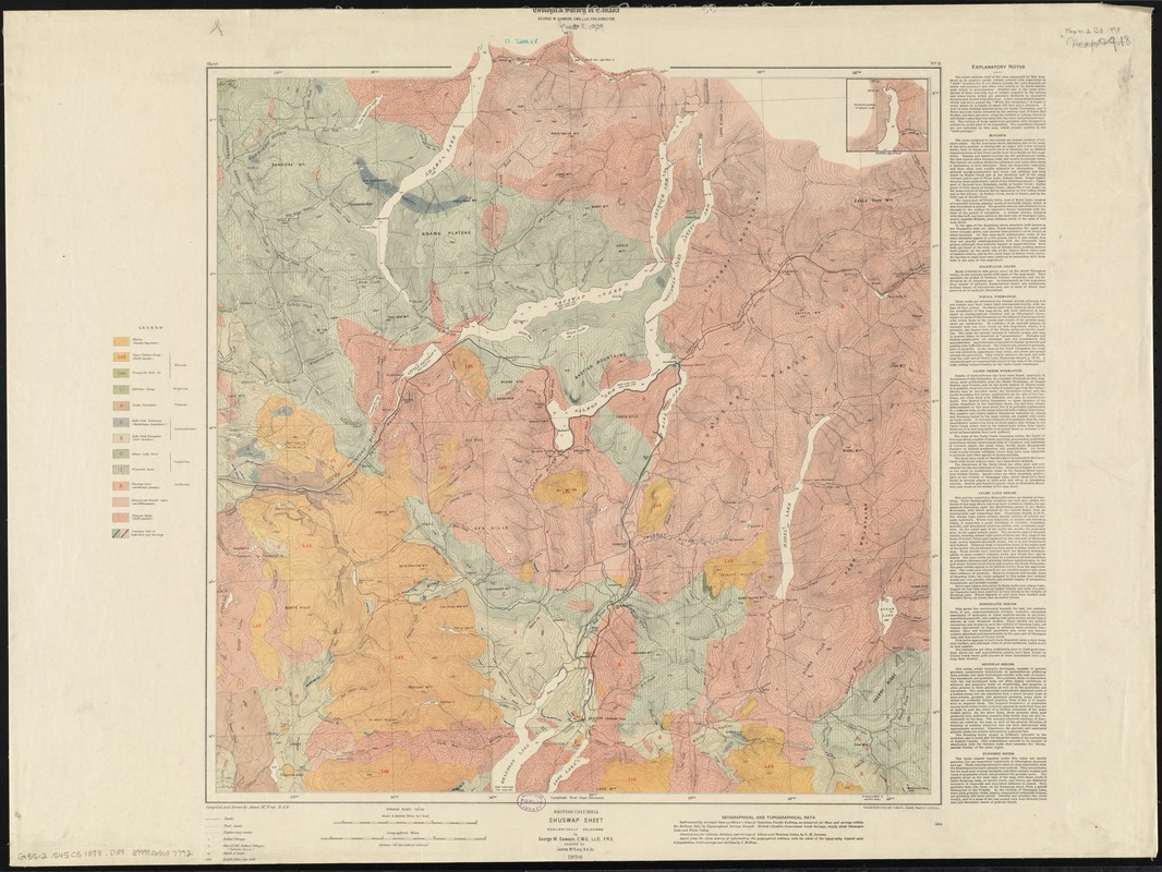
British Columbia, Shuswap sheet : geologically coloured
Item Information
- Title:
- British Columbia, Shuswap sheet : geologically coloured
- Title (alt.):
-
Shuswap sheet
- Creator:
- Dawson, George Mercer, 1849-1901
- Name on Item:
-
by George M. Dawson, assisted by James McEvoy ; Geological Survey of Canada ; compiled and drawn by James McEvoy.
- Date:
-
1898
- Format:
-
Maps/Atlases
- Location:
-
Boston Public Library
Norman B. Leventhal Map Center - Collection (local):
-
Norman B. Leventhal Map Center Collection
- Subjects:
-
Geology--British Columbia--Shuswap Highland--Maps
North Okanagan (B.C.)--Maps
Shuswap Highland (B.C.)--Maps
Columbia-Shuswap (B.C.)--Maps
- Places:
-
CanadaProvince of British Columbia (province)
Shuswap Highland
Regional District of North Okanagan
Columbia-Shuswap Regional District
- Extent:
- 1 map : col. ; 54 x 51 cm.
- Terms of Use:
-
No known copyright restrictions.
No known restrictions on use.
- Publisher:
-
[Ottawa, Ont.] :
The Survey
- Scale:
-
Scale 1:253,440. 4 statute miles to 1 in.
- Language:
-
English
- Notes:
-
Covers an area in southeastern British Columbia. Most of the area covered is in the Regional District of North Okanagan; the area includes Adams Lake, Shuswap Lake, Salmon Arm, Enderby, Armstrong, and Vernon.
Relief shown by contours, and spot heights. Depths shown by soundings.
Includes inset : "Northern edge of map."
Includes explanatory notes.
"Sheet 11."
- Identifier:
-
06_01_011618
- Call #:
-
G3512.S45C5 1898 .D39
- Barcode:
-
39999065687772