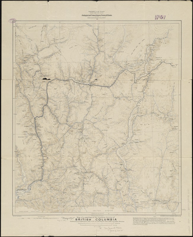
Map of a portion of the southern Interior of British Columbia : embodying the explorations made in 1877 by G.M. Dawson, and in 1882-4 by Amos Bowman
Item Information
- Title:
- Map of a portion of the southern Interior of British Columbia : embodying the explorations made in 1877 by G.M. Dawson, and in 1882-4 by Amos Bowman
- Creator:
- Marion, Israel.
- Name on Item:
-
drawn by Israel Marion.
- Date:
-
1888
- Format:
-
Maps/Atlases
- Location:
-
Boston Public Library
Norman B. Leventhal Map Center - Collection (local):
-
Norman B. Leventhal Map Center Collection
- Subjects:
-
British Columbia--Maps
1887
- Places:
-
CanadaProvince of British Columbia (province)
- Extent:
- 1 map : col. ; 58 x 51 cm.
- Terms of Use:
-
No known copyright restrictions.
No known restrictions on use.
- Publisher:
-
[Ottawa] :
Geological and Natural History Survey of Canada
- Edition:
- Prelim. ed. not geologically colored, Dec. 1887.
- Scale:
-
Scale 1:506,880
- Language:
-
English
- Notes:
-
Relief shown by hachures and spot heights.
Shows roads, trails, railroads, and explorers' routes.
- Identifier:
-
06_01_011601
- Call #:
-
G3510 1887 .M37
- Barcode:
-
39999065687897