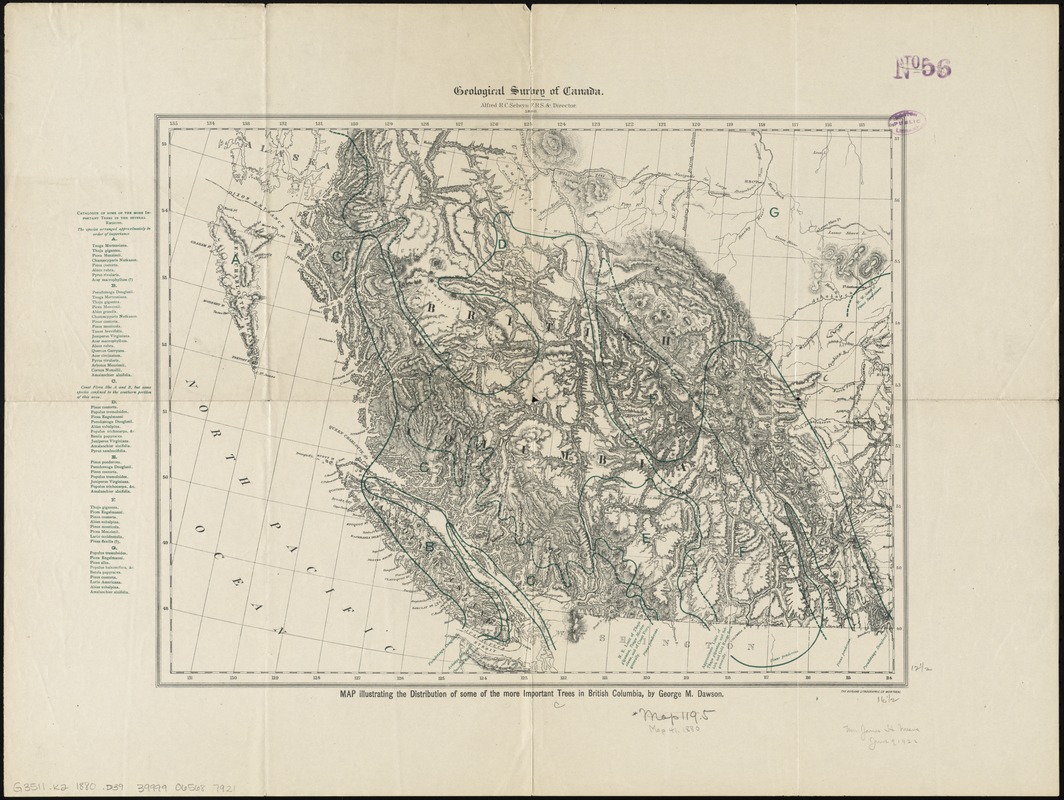
Map illustrating the distribution of some of the more important trees in British Columbia
Item Information
- Title:
- Map illustrating the distribution of some of the more important trees in British Columbia
- Creator:
- Dawson, George Mercer, 1849-1901
- Name on Item:
-
by George M. Dawson.
- Date:
-
1880
- Format:
-
Maps/Atlases
- Location:
-
Boston Public Library
Norman B. Leventhal Map Center - Collection (local):
-
Norman B. Leventhal Map Center Collection
- Subjects:
-
Trees--British Columbia--Maps
British Columbia--Maps
- Places:
-
CanadaProvince of British Columbia (province)
- Extent:
- 1 map : col. ; 32 x 42 cm.
- Terms of Use:
-
No known copyright restrictions.
No known restrictions on use.
- Publisher:
-
[Ottawa?] :
Geological Survey of Canada
- Scale:
-
Scale [ca. 1:3,000,000]
- Language:
-
English
- Notes:
-
Relief shown by hachures and spot heights.
- Identifier:
-
06_01_011605
- Call #:
-
G3511.K2 1880 .D39
- Barcode:
-
39999065687921


