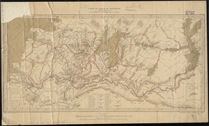
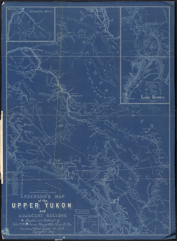
Anderson's map of the Upper Yukon and adjacent regions
Item Information
- Title:
- Anderson's map of the Upper Yukon and adjacent regions
- Creator:
- O. P. Anderson Map & Blue Print Company Inc
- Name on Item:
-
compiled and published by the O.P. Anderson Map & Blueprint Co., Inc.
- Date:
-
[ca. 1897]
- Format:
-
Maps/Atlases
- Location:
-
Boston Public Library
Norman B. Leventhal Map Center - Collection (local):
-
Norman B. Leventhal Map Center Collection
- Subjects:
-
Yukon--Maps
Northwest Territories--Maps
British Columbia--Maps
- Places:
-
CanadaProvince of British Columbia (province)
- Extent:
- 1 map ; 86 x 62 cm., folded in cover 20 x 12 cm.
- Terms of Use:
-
No known copyright restrictions.
No known restrictions on use.
- Publisher:
-
Seattle :
O.P. Anderson Map & Blueprint Co.
- Scale:
-
Scale [ca. 1:1,600,000]
- Language:
-
English
- Notes:
-
Also shows parts of Northwest Territories and British Columbia.
Insets: Klondike River -- Lake Routes -- Rink Rapids.
Includes distance tables.
Blueprint.
- Identifier:
-
06_01_011550
- Call #:
-
G3520 1897 .O62
- Barcode:
-
39999065686360