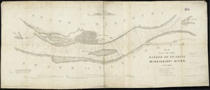
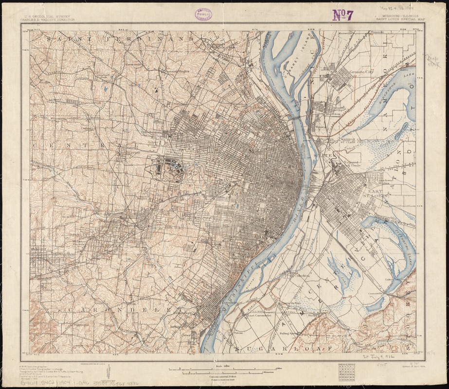
Missouri-Illinois, Saint Louis special map
Item Information
- Title:
- Missouri-Illinois, Saint Louis special map
- Title (alt.):
-
Saint Louis special map
- Creator:
- Geological Survey (U.S.)
- Name on Item:
-
U.S. Geological Survey ; H.M. Wilson, geographer ; Chas. E. Cooke, topographer in charge ; topography by Chas. E. Cooke, Wm. O. Tufts, Gilbert Young and the City of St. Louis ; control by U.S.C. and G.S and Geo. T. Hawkins.
- Date:
-
1904
- Format:
-
Maps/Atlases
- Location:
-
Boston Public Library
Norman B. Leventhal Map Center - Collection (local):
-
Norman B. Leventhal Map Center Collection
- Subjects:
-
Saint Louis (Mo.)--Maps
- Places:
-
Saint Louis
- Extent:
- 1 map : col. ; 39 x 47 cm.
- Terms of Use:
-
No known copyright restrictions.
No known restrictions on use.
- Publisher:
-
[Washington, D.C.] :
The Survey
- Scale:
-
Scale 1:62,500
- Language:
-
English
- Notes:
-
Relief shown by contours and spot heights.
Text and ill. on verso.
- Identifier:
-
06_01_011340
- Call #:
-
G4164.S4C2 1904 .G46
- Barcode:
-
39999065684886