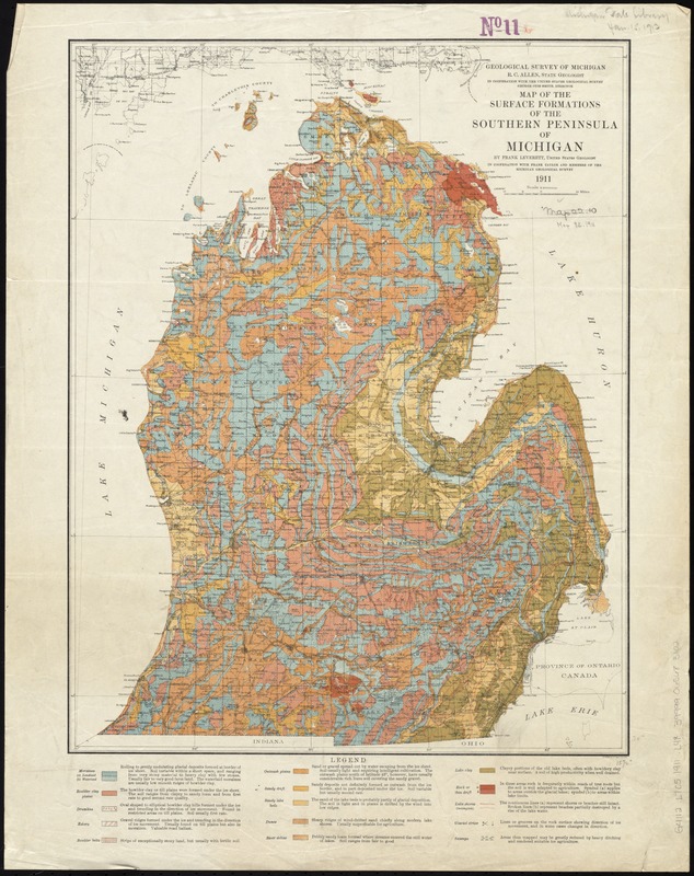
Map of the surface formations of the Southern Peninsula of Michigan
Item Information
- Title:
- Map of the surface formations of the Southern Peninsula of Michigan
- Creator:
- Leverett, Frank, 1859-1943
- Name on Item:
-
by Frank Leverett, in cooperation with Frank B. Taylor and members of the Michigan Geological Survey.
- Date:
-
1911
- Format:
-
Maps/Atlases
- Location:
-
Boston Public Library
Norman B. Leventhal Map Center - Collection (local):
-
Norman B. Leventhal Map Center Collection
- Subjects:
-
Geology--Michigan--Lower Peninsula--Maps
Land capability for agriculture--Michigan--Lower Peninsula--Maps
Lower Peninsula (Mich.)--Maps
- Places:
-
lower peninsula (area)
- Extent:
- 1 map : col. ; 50 x 39 cm.
- Terms of Use:
-
No known copyright restrictions.
No known restrictions on use.
- Publisher:
-
[Lansing, Mich.] :
Geological Survey of Michigan in cooperation with the United States Geological Survey
- Scale:
-
Scale 1:1,000,000
- Language:
-
English
- Notes:
-
A. Hoen & Co. Baltimore.
- Identifier:
-
06_01_011326
- Call #:
-
G4112.L7C5 1911 .L48
- Barcode:
-
39999065683102


