New map of Chicago : comprising the whole city, taken from Lowe's map, with all the recent additions, subdivisions & extensions
Item Information
- Title:
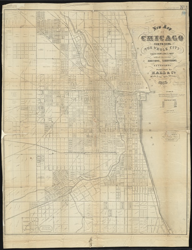
- New map of Chicago : comprising the whole city, taken from Lowe's map, with all the recent additions, subdivisions & extensions
- Creator:
- William A. Hall & Co
- Date:
-
1855
- Format:
-
Maps/Atlases
- Location:
-
Boston Public Library
Norman B. Leventhal Map Center - Collection (local):
-
Norman B. Leventhal Map Center Collection
- Subjects:
-
Real property--Illinois--Chicago--Maps
Landowners--Illinois--Chicago--Maps
Chicago (Ill.)--Maps
- Places:
-
Cook (county)Chicago
- Extent:
- 1 map ; 76 x 62 cm.
- Terms of Use:
-
No known copyright restrictions.
No known restrictions on use.
- Publisher:
-
Chicago :
Hall & Co.
- Scale:
-
Scale [1:14,400]. 1200 feet to an inch
- Language:
-
English
- Notes:
-
From Fergus, R. The Chicago city directory and commercial advertiser. 1855-6.
Shows lots and some landowners.
Includes population figures.
- Identifier:
-
06_01_011108
- Call #:
-
G4104.C6 1855 .W55
- Barcode:
-
39999065681288