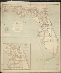
A new sectional map of Florida
Item Information
- Title:
- A new sectional map of Florida
- Creator:
- Associated Railway Land Dept. of Florida
- Name on Item:
-
issued by the Asociated Railway Land Department of Florida.
- Date:
-
1890
- Format:
-
Maps/Atlases
- Location:
-
Boston Public Library
Norman B. Leventhal Map Center - Collection (local):
-
Norman B. Leventhal Map Center Collection
- Subjects:
-
Railroads--Florida--Maps
Real property--Florida--Maps
Florida--Administrative and political divisions--Maps
- Places:
-
Florida
- Extent:
- 1 map : col. ; 109 x 79 cm.
- Terms of Use:
-
No known copyright restrictions.
No known restrictions on use.
- Publisher:
-
Sandford, Fla :
Associated Railway Land Department of Florida
- Scale:
-
Scale 1:633,600
- Language:
-
English
- Notes:
-
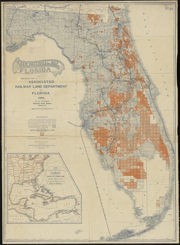
Shows county boundaries, land survey sections, and lands offered by the Associated Railway Land Department of Florida.
"D.H. Elliott, general land agent.
Prime meridians: Greenwich and Washington.
Inset: Map illustrating the geographical position of Florida, also location of the railroad and steamship lines for commerce with other states, and the countries south and east of Gulf of Mexico.
- Identifier:
-
06_01_010946
- Call #:
-
G3931.G46 1890 .A77
- Barcode:
-
39999065679084