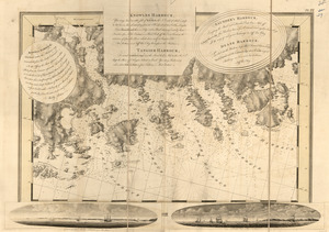
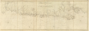
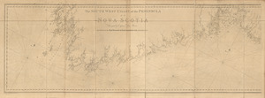
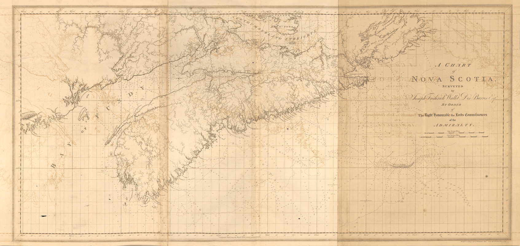
A chart of Nova Scotia
This map is also available in American Revolutionary Geographies Online (ARGO), a collections portal especially built for material relating to the American Revolutionary War Era. Visit ARGO to learn more about this item and explore the historical geography of North America in the late eighteenth century.
Item Information
- Title:
- A chart of Nova Scotia
- Publisher:
- Des Barres, Joseph F. W. (Joseph Frederick Wallet), 1722-1824
- Date:
-
1780
- Format:
-
Maps/Atlases
- Location:
- Library of Congress Geography and Map Division
- Collection (local):
-
Library of Congress Geography and Map Division
- Subjects:
-
Atlantic Coast (N.S.)--Maps
Coasts--Nova Scotia--Maps
- Places:
-
CanadaNova Scotia (province)
- Extent:
- 1 map ; 74 x 157 cm
- Terms of Use:
-
No known copyright restrictions.
This work is licensed for use under a Creative Commons Attribution Non-Commercial Share Alike License (CC BY-NC-SA).

- Publisher:
-
[London] :
J.F.W. Des Barres
- Scale:
-
Scale [ca. 1:520,000]
- Language:
-
English
- Catalog Record:
-
https://lccn.loc.gov/75332513
- Notes:
-
State 2. Words "Part of the Island of St. John" inserted.