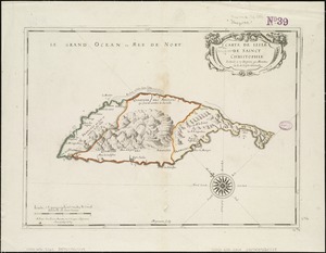
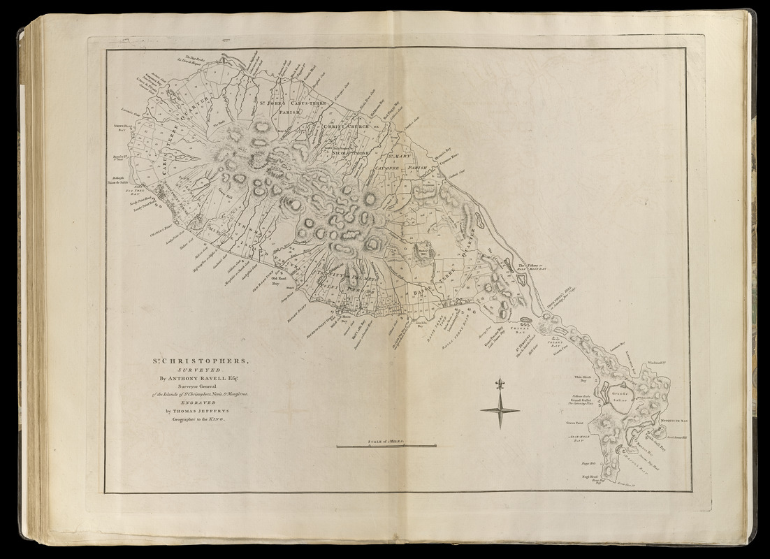
St. Christophers
This map is also available in American Revolutionary Geographies Online (ARGO), a collections portal especially built for material relating to the American Revolutionary War Era. Visit ARGO to learn more about this item and explore the historical geography of North America in the late eighteenth century.
Item Information
- Title:
- St. Christophers
- Title (alt.):
-
Saint Christophers
- Creator:
- Ravell, Anthony
- Contributor:
- Jefferys, Thomas, -1771
- Contributor:
- Sayer, Robert, 1725-1794
- Name on Item:
-
surveyed by Anthony Ravell esqr. ; engraved by Thomas Jefferys, geographer to the King
- Date:
-
[1768]
- Format:
-
Maps/Atlases
- Location:
-
Boston Public Library
Norman B. Leventhal Map Center - Collection (local):
-
Norman B. Leventhal Map Center Collection
- Subjects:
-
Real property--Saint Kitts and Nevis--Saint Kitts--Maps--Early works to 1800
Saint Kitts--Maps--Early works to 1800
- Places:
-
Saint Kitts (island)
- Extent:
- 1 map ; 47 x 61 cm.
- Terms of Use:
-
No known copyright restrictions.
No known restrictions on use.
- Publisher:
-
London :
Printed for Robert Sayer, ... and Thomas Jefferys
- Scale:
-
Scale [ca. 1:47,000]
- Language:
-
English
- Notes:
-
Shows parishes, towns, harbors, bays, and land parcels.
Relief shown by hachures.
Appears in Jefferys' General topography of North America and the West Indies. London: Printed for Robert Sayer, ... and Thomas Jefferys, 1768.
- Notes (date):
-
This date is inferred.
- Notes (citation):
-
LC Maps of North America, 1988
Phillips, 1196
- Identifier:
-
4000137_0104
- Call #:
-
G1105 .J4 1768
- Barcode:
-
30000003256617