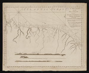
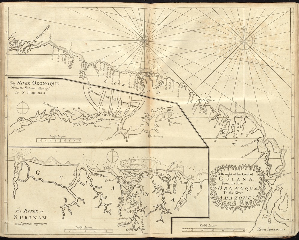
A draught of the coast of Guiana, from the river Oronoque to the river Amazones
Item Information
- Title:
- A draught of the coast of Guiana, from the river Oronoque to the river Amazones
- Date:
-
[1737]
- Format:
-
Maps/Atlases
- Location:
-
Boston Public Library
Norman B. Leventhal Map Center - Collection (local):
-
Norman B. Leventhal Map Center Collection
- Subjects:
-
Coasts--French Guiana--Maps--Early works to 1800
Coasts--Guyana--Maps--Early works to 1800
Coasts--Suriname--Maps--Early works to 1800
- Places:
-
French Guiana (territory)
Guyana
Suriname
- Extent:
- 1 map ; 44 x 56 cm.
- Terms of Use:
-
No known copyright restrictions.
No known restrictions on use.
- Publisher:
-
London :
Printed for William Mount and Thomas Page
- Scale:
-
Scale [ca. 1:234,000]
- Language:
-
English
- Notes:
-
Depths shown by soundings.
Insets: The river Oronoque from the entrance thereof to St. Thomas's -- The river of Surinam and places adjacent.
In the English pilot, the fourth book. London : Printed for William Mount and Thomas Page, 1737.
- Notes (date):
-
This date is inferred.
- Identifier:
-
06_01_010281
- Call #:
-
G1106.P5 E54 1737
- Barcode:
-
30000003250874