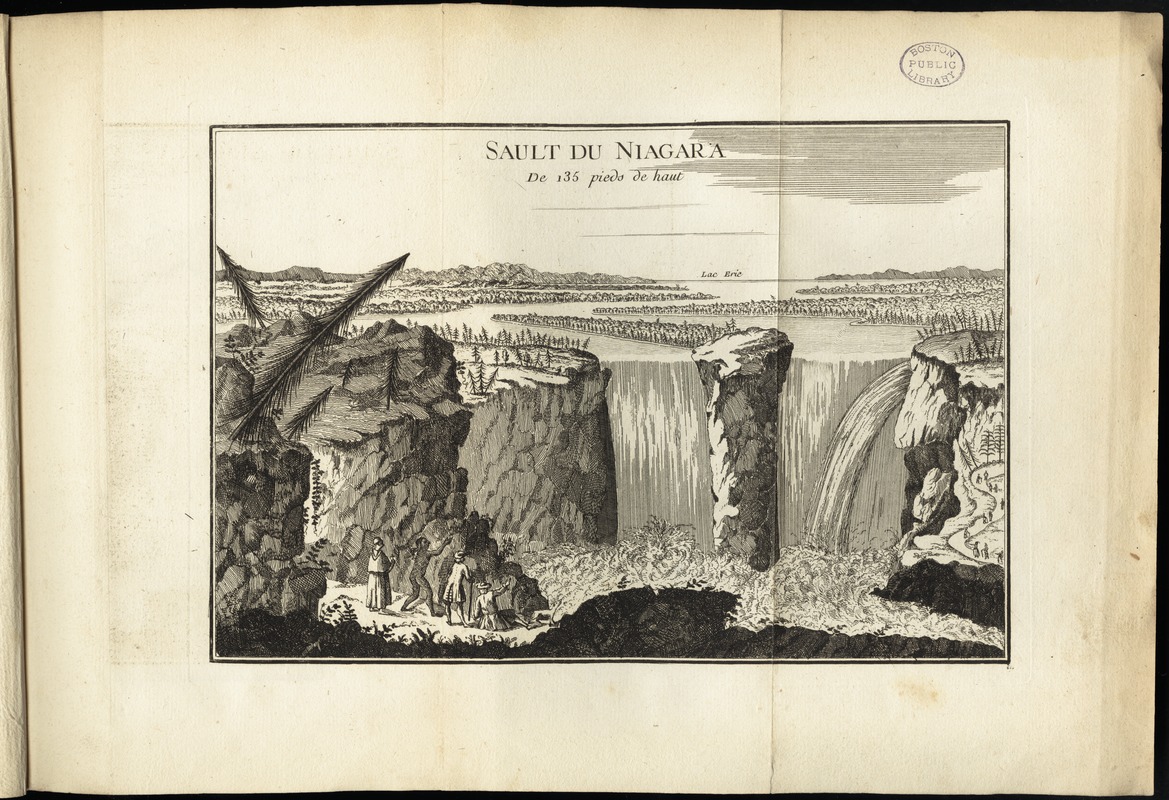
Sault du Niagara de 135 pieds de haut
This map is also available in American Revolutionary Geographies Online (ARGO), a collections portal especially built for material relating to the American Revolutionary War Era. Visit ARGO to learn more about this item and explore the historical geography of North America in the late eighteenth century.
Item Information
- Title:
- Sault du Niagara de 135 pieds de haut
- Creator:
- Le Rouge, Georges-Louis.
- Date:
-
[1755]
- Format:
-
Maps/Atlases
- Location:
-
Boston Public Library
Norman B. Leventhal Map Center - Collection (local):
-
Norman B. Leventhal Map Center Collection
- Subjects:
-
Niagara Falls (N.Y. and Ont.)--Aerial views
- Places:
-
Niagara Falls
- Extent:
- 1 view ; 18 x 26 cm.
- Terms of Use:
-
No known copyright restrictions.
No known restrictions on use.
- Publisher:
-
Paris :
Le Rouge
- Scale:
-
Scale not given
- Language:
-
French
- Notes:
-
Appears in the author's Recueil des plans de l'Amerique Septentrionale.
- Notes (date):
-
This date is inferred.
- Identifier:
-
06_01_009934
- Call #:
-
G1105 .L47 1777
- Barcode:
-
30000003911815
- LCCN:
-
gm 71000999